Jamestown in James City County, Virginia — The American South (Mid-Atlantic)
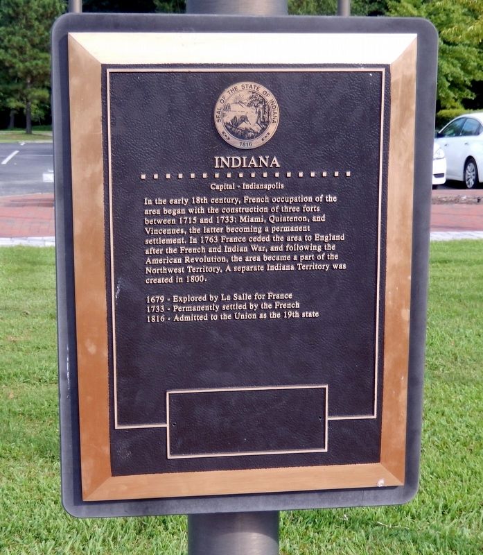
Indiana
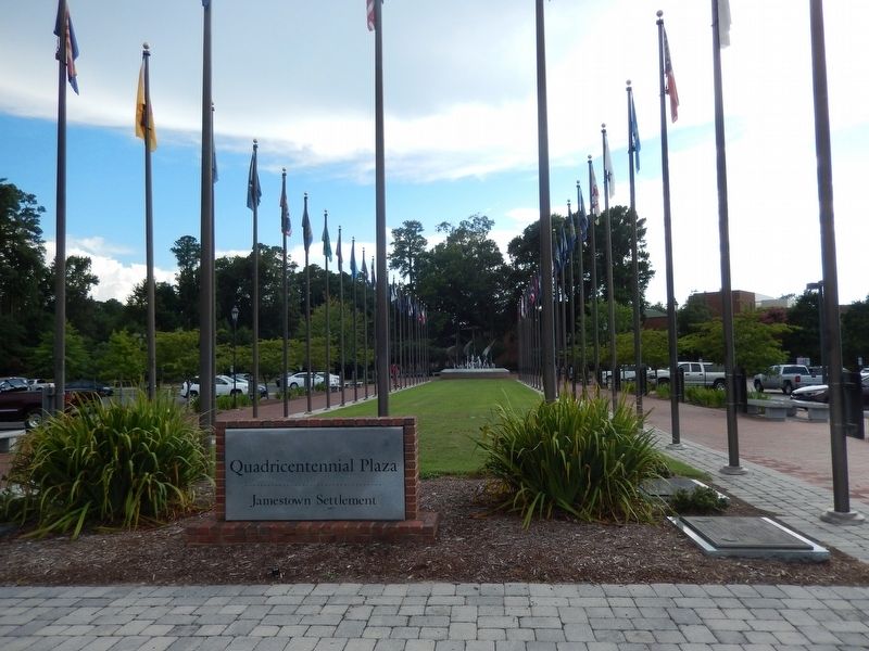
Quadricentennial Plaza
| — | Jamestown Settlement | — |
Photographed by Don Morfe, August 17, 2016
1. Indiana Marker
In the early 18th century, French occupation of the area began with the construction of three forts between 1715 and 1733: Miami, Quiatenon, and Vincennes, the latter becoming a permanent settlement. In 1763 France ceded the area to England after the French and Indian War, and following the American Revolution, the area became a part of the Northwest Territory. A separate Indiana Territory was created in 1800.
1679-Explored by La Salle for France
1733-Permanently settled by the French
1816-Admitted to the Union as the 19th state
Topics. This historical marker is listed in these topic lists: Colonial Era • Exploration • Settlements & Settlers. A significant historical year for this entry is 1715.
Location. 37° 13.556′ N, 76° 46.983′ W. Marker is in Jamestown, Virginia, in James City County. It is on Jamestown Road. The marker is located near the Jamestown Settlement Visitor Center. Touch for map. Marker is at or near this postal address: 2110 Jamestown Road, Williamsburg VA 23185, United States of America. Touch for directions.

Regionally, this marker is on Virginia’s Peninsula, in Coastal
this page online
Other nearby markers. At least 8 other markers are within walking distance of this marker: Mississippi (here, next to this marker); Louisiana (here, next to this marker); Illinois (here, next to this marker); Alabama (here, next to this marker); Ohio (here, next to this marker); Tennessee (a few steps from this marker); Maine (a few steps from this marker); Oregon (a few steps from this marker). Touch for a list and map of all markers in Jamestown.
Photographed by Don Morfe, August 17, 2016
2. Quadricentennial Plaza-North
Photographed by Don Morfe, August 17, 2016
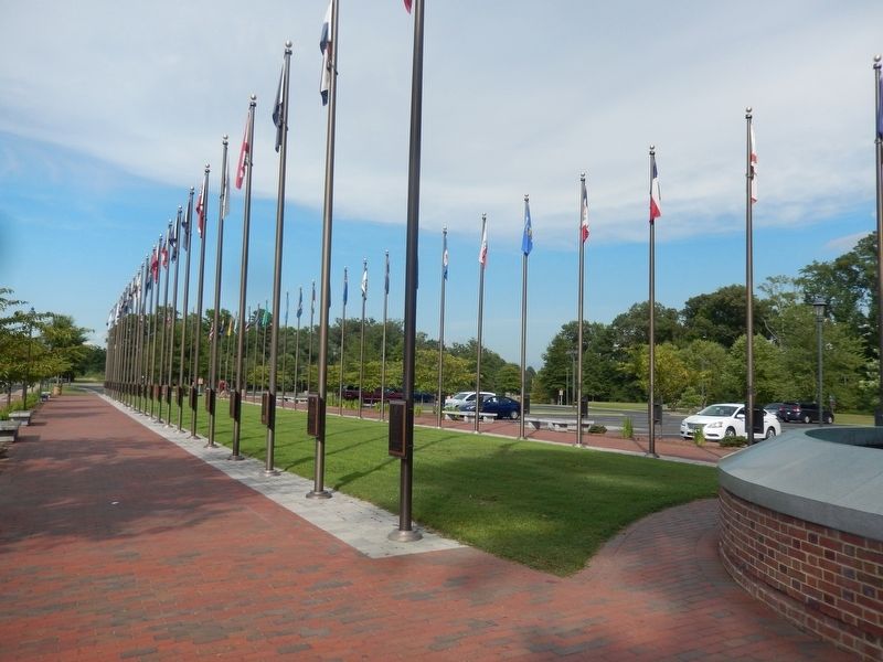
3. Quadricentennial Plaza-South
Photographed by Don Morfe, August 17, 2016
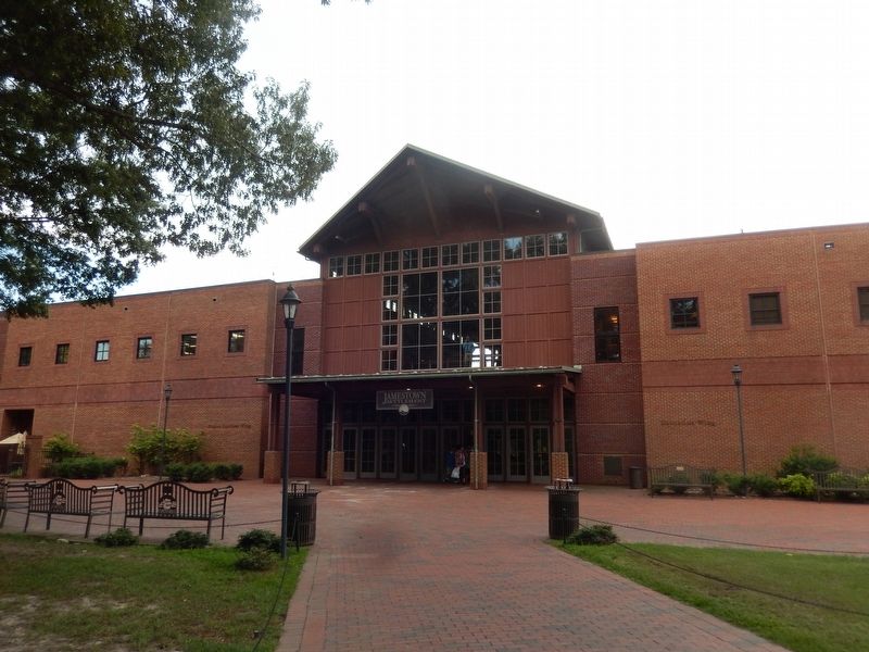
4. Jamestown Settlement Visitor Center
Credits. This page was last revised on April 4, 2022. It was originally submitted on September 19, 2016, by Don Morfe of Baltimore, Maryland. This page has been viewed 499 times since then and 25 times this year. Last updated on March 31, 2022, by Carl Gordon Moore Jr. of North East, Maryland. Photos: 1, 2, 3, 4. submitted on September 19, 2016, by Don Morfe of Baltimore, Maryland. • Bernard Fisher was the editor who published this page.
