Lewisville in Denton County, Texas — The American South (West South Central)
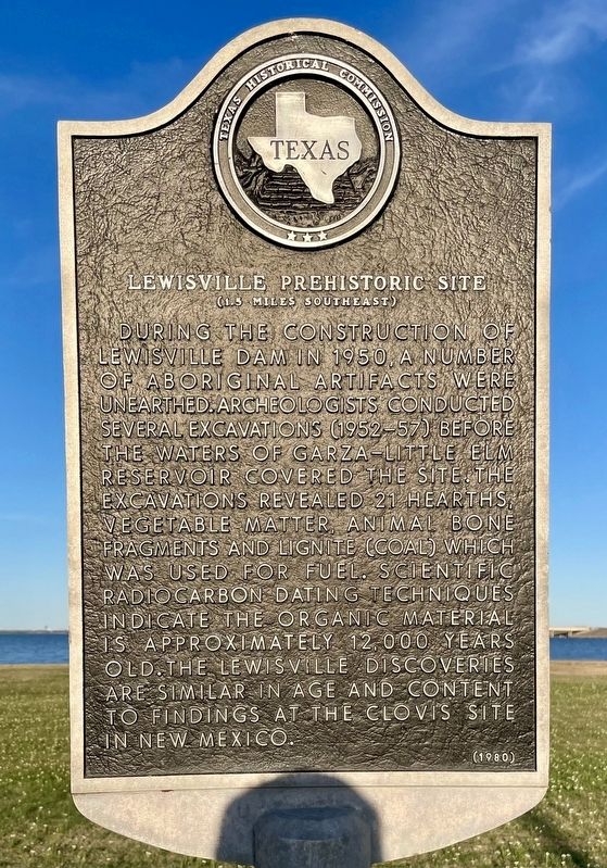
Lewisville Prehistoric Site
(1.5 Miles Southeast)
Erected 1980 by Texas Historical Commission. (Marker Number 3080.)
Topics. This historical marker is listed in these topic lists: Anthropology & Archaeology • Native Americans • Settlements & Settlers. A significant historical year for this entry is 1950.
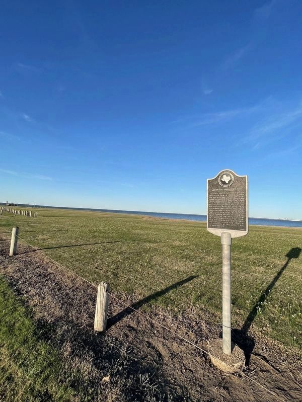
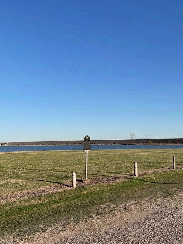
Location. 33° 4.15′ N, 96° 59.53′ W. Marker is in Lewisville, Texas, in Denton County. Marker is on Roadrunner Trail south of Trotliner Road. The marker is located inside Lewisville Lake Park, in Sailboard Point area near the dam. Touch for map. Marker is at or near this postal address: 100 Roadrunner Trail, Lewisville TX 75057, United States of America. Touch for directions.
Other nearby markers. At least 8 other markers are within 5 miles of this marker, measured as the crow flies. Smith Cemetery (approx. 1.1 miles away); Lane Chapel C.M.E. Church (approx. 1.9 miles away); McCurley Cemetery (approx. 2.1 miles away); The Peters Colony (approx. 2.6 miles away); McCombs Cemetery (approx. 3.8 miles away); Bethel Community (approx. 4 miles away); Texas International Pop Festival (approx. 4˝ miles away); Swisher Cemetery (approx. 5.1 miles away). Touch for a list and map of all markers in Lewisville.
Credits. This page was last revised on June 9, 2023. It was originally submitted on March 31, 2022, by J Frye of Fort Worth, Texas. This page has been viewed 364 times since then and 56 times this year. Last updated on April 1, 2022, by J Frye of Fort Worth, Texas. Photos: 1, 2, 3. submitted on March 31, 2022, by J Frye of Fort Worth, Texas. • J. Makali Bruton was the editor who published this page.


