Goffs in San Bernardino County, California — The American West (Pacific Coastal)
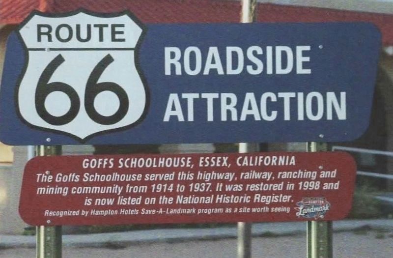
Goffs Schoolhouse
Route 66 Roadside Attraction
| — | Essex, California | — |
Photographed by David Wickline
1. Goffs Schoolhouse Marker
Recognized by Hampton Hotels Save-A-Landmark program as a site worth seeing
Erected 2003 by Hampton Hotels Save-A-Landmark program.
Topics and series. This historical marker is listed in these topic lists: Education • Roads & Vehicles. In addition, it is included in the Route 66 Roadside Attractions series list. A significant historical year for this entry is 1914.
Location. 34° 55.279′ N, 115° 4.056′ W. Marker is in Goffs, California, in San Bernardino County. It is on Lanfair Road 0.1 miles north of Goffs Road (County Route 66), on the left when traveling north. Touch for map. Marker is at or near this postal address: 37198 Lanfair Rd, Essex CA 92332, United States of America. Touch for directions.

Regionally, this marker is in Greater Los Angeles, in the Mojave Desert, in the Peninsular Ranges, and specifically in the Transverse Ranges. It is also in the American Southwest. Globally, it is in North America, on the Ring of
this page online
Other nearby markers. At least 8 other markers are within 12 miles of this marker, measured as the crow flies: Dennis G. Casebier (a few steps from this marker); a different marker also named Goffs Schoolhouse (within shouting distance of this marker); Army Camp at Goffs (about 300 feet away, measured in a direct line); Pah-Ute Creek (about 300 feet away); East Mojave History (about 300 feet away); The Original Mojave Cross (about 400 feet away); Charlie Connell Mining District (approx. 0.2 miles away); John Wilkie Safety Roadside Rest Area At Fenner (approx. 11½ miles away). Touch for a list and map of all markers in Goffs.
Regarding Goffs Schoolhouse. Photos were taken by Route 66 photographer David Wickline, from his book Images of 66, Volume 2: Digging Deeper. Used with Mr. Wickline's permission.
Also see . . . Mojave Desert Heritage and Cultural Association. - Goffs Schoolhouse Museum. (Submitted on December 24, 2024.)
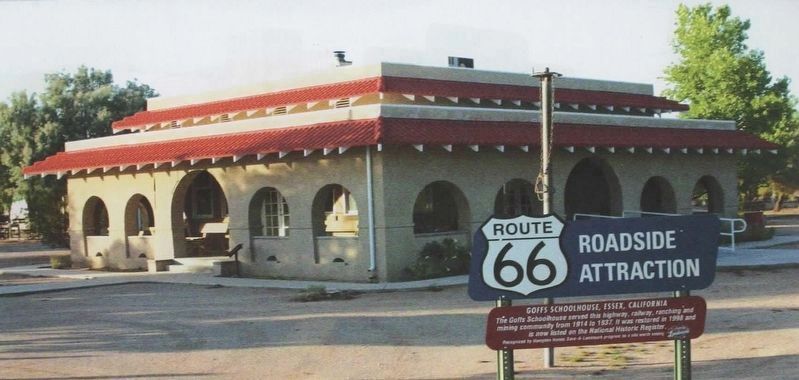
Photographed by David Wickline
2. Goffs Schoolhouse and Marker
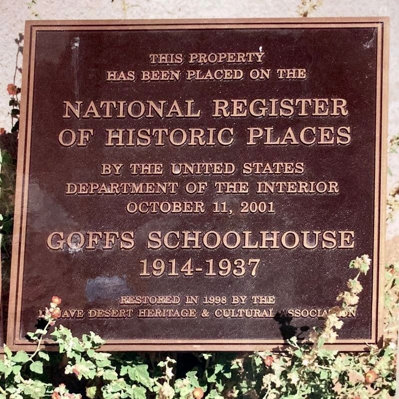
by Goffs Schoolhouse
3. National Register of Historic Places
Credits. This page was last revised on December 24, 2024. It was originally submitted on April 1, 2022, by Jason Voigt of Glen Carbon, Illinois. This page has been viewed 1,213 times since then and 687 times this year. Photos: 1, 2. submitted on April 1, 2022, by Jason Voigt of Glen Carbon, Illinois. 3. submitted on April 25, 2023, by Craig Baker of Sylmar, California.
