Howe in Grayson County, Texas — The American South (West South Central)
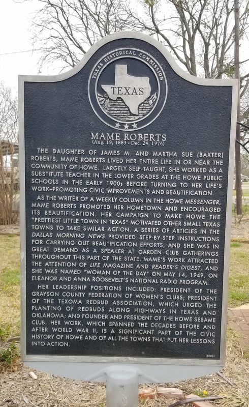
Mame Roberts
(Aug. 19, 1883 - Dec. 24, 1976)
Photographed by James Hulse, March 29, 2022
1. Mame Roberts Marker
As the writer of a weekly column in the Howe Messenger, Mame Roberts promoted her hometown and encouraged its beautification. Her campaign to make Howe the "Prettiest Little Town in Texas" motivated other small Texas towns to take similar action. A series of articles in the Dallas Morning News provided step-by-step instructions for carrying out beautification efforts, and she was in great demand as a speaker at garden club gatherings throughout this part of the state. Mame's work attracted the attention of Life Magazine and Reader's Digest, and she was named "Woman of the Day" on May 14, 1949, on Eleanor and Anna Roosevelt's national radio program.
Her leadership positions included: President of the Grayson County Federation of Women's Clubs; President of the Texoma Redbud Association, which urged the planting of redbuds along highways in Texas and Oklahoma; and founder and president of the Howe Sesame Club. Her work, which spanned the decades before and after World War II, is a significant part of the civic history of Howe and of all the towns that put her lessons into action.
Erected 2002 by Texas Historical Commission. (Marker Number 12709.)
Topics. This historical marker is listed in these topic lists: Fraternal or Sororal Organizations • Women. A significant historical date for this entry is May 14, 1949.
Location. 33° 30.393′ N, 96° 36.748′ W. Marker is in Howe, Texas, in Grayson County. It is at the intersection of North Denny Street (State Highway 5) and East O'Connell
this page online

Regionally, this marker is in the Prairies & Lakes Region. It is also in the American South. Globally, it is in North America, a Gulf of Mexico state, the Western Hemisphere, the Western World, and the Anglosphere. Historically, it finds itself in what was once New Spain, the Republic of Texas, one of the Confederate States of America, and the Antebellum South.
Other nearby markers. At least 8 other markers are within 6 miles of this marker, measured as the crow flies: First Christian Church of Howe (a few steps from this marker); Jabez and Harriet Haning (approx. 2.6 miles away); William Whitley Wheat (approx. 2.6 miles away); Hall Cemetery (approx. 2.6 miles away); Dorchester School (approx. 4.8 miles away); Boy Scout Troop 1 (Troop 44) (approx. 5.8 miles away); Site of Campus of Old Columbia College (approx. 5.9 miles away); Site of Early Grayson County Settlement Whitemound
Photographed by James Hulse, March 29, 2022
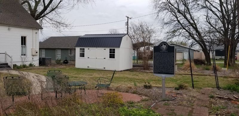
2. The Mame Roberts Marker in the garden
Photographed by James Hulse, March 29, 2022
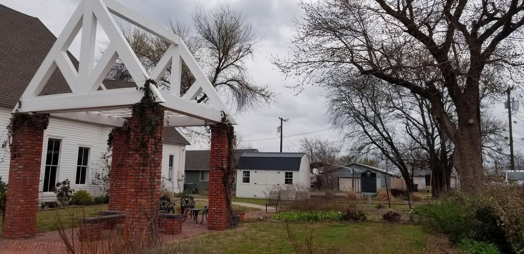
3. The view of the Mame Roberts Marker from the street
Credits. This page was last revised on April 3, 2022. It was originally submitted on April 2, 2022, by James Hulse of Medina, Texas. This page has been viewed 480 times since then and 32 times this year. Photos: 1. submitted on April 2, 2022, by James Hulse of Medina, Texas. 2, 3. submitted on April 3, 2022, by James Hulse of Medina, Texas.
