Pittman Center in Sevier County, Tennessee — The American South (East South Central)
Emerts Cove Covered Bridge
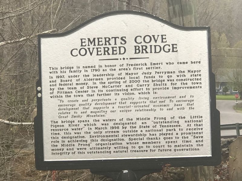
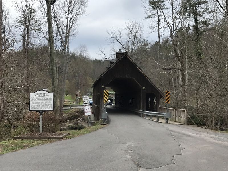
In 1997, under the leadership of Mayor Judy Perryman the Mayor and Board of Aldermen provided local funds to go with state and federal money. In the spring of 2000 the bridge was constructed by the team of Steve McCarter and Garry Shultz for the town of Pittman Center in its continuing effort to provide improvements within the town that further its vision, which is:
“To create and perpetuate a quality living environment and to encourage quality development that supports that end. To encourage development that supports a tourist-oriented economic base that relates to and magnifies our unique relationship to and with the Great Smoky Mountains.”The bridge spans the waters of the Middle Prong of the Little Pigeon River which was designated an “outstanding national resource water” in March 1998 by the State of Tennessee. At that time, this was the only stream outside a national park to receive this designation. Environmental stewardship has played a prominent role in achieving this designation. Special thanks goes to the “Save the Middle Prong” organization whose members spent time and money and were ultimately willing to go to court to maintain the integrity of this outstanding natural treasure for future generations.
Topics and series. This historical marker is listed in these topic lists: Bridges & Viaducts • Waterways & Vessels. In addition, it is included in the Covered Bridges series list. A significant historical year for this entry is 1790.
Location. 35° 44.858′ N, 83° 24.974′ W. Marker is in Pittman Center, Tennessee, in Sevier County. Marker is at the intersection of Hills Creek Road and Price Cove Road, on the right when traveling west on Hills Creek Road. Touch for map. Marker is in this post office area: Sevierville TN 37876, United States of America. Touch for directions.
Other nearby markers. At least 8 other markers are within 6 miles of this marker, measured as the crow flies. Emerts Cove (approx. 0.4 miles away); The Ephraim Bales Place (approx. 4.2 miles away); Tsali Monument (approx. 5.7 miles away); Martha Jane Ogle Cabin (approx. 5.9 miles away); Pi Beta Phi Fraternity Centennial Plaza / Pi Beta Phi Fraternity Settlement School (approx. 5.9 miles away); The American Black Bear (approx. 6 miles away); Wiley Oakley (approx. 6 miles away); Baskins Creek (approx. 6 miles away).
Credits. This page was last revised on April 3, 2022. It was originally submitted on April 3, 2022, by Duane and Tracy Marsteller of Murfreesboro, Tennessee. This page has been viewed 628 times since then and 72 times this year. Photos: 1, 2. submitted on April 3, 2022, by Duane and Tracy Marsteller of Murfreesboro, Tennessee.

