Pittman Center in Sevier County, Tennessee — The American South (East South Central)
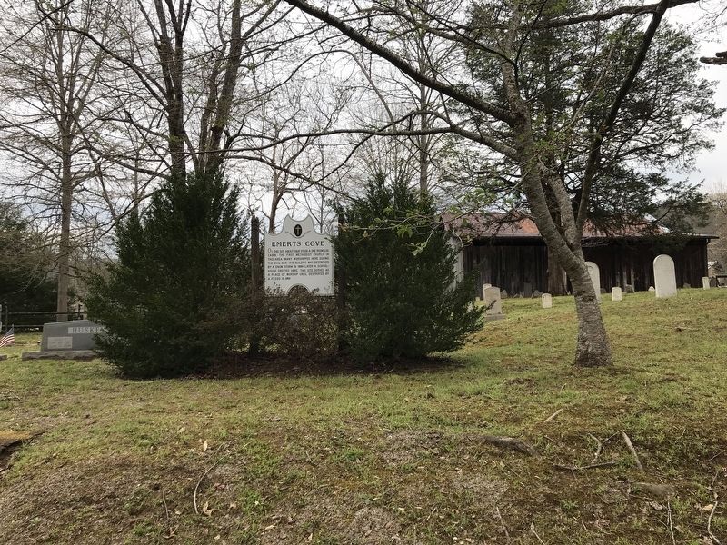
Emerts Cove

Photographed by Duane and Tracy Marsteller, April 2, 2022
1. Emerts Cove Marker
Topics. This historical marker is listed in these topic lists: Disasters • Education • Religion & Religious Structures • War, US Civil. A significant historical year for this entry is 1825.
Location. 35° 45.211′ N, 83° 24.805′ W. Marker is in Pittman Center, Tennessee, in Sevier County. It is on Emerts Cove Road south of Grassy Branch Road, on the left when traveling south. Marker is in Emerts Cove Cemetery. Touch for map. Marker is in this post office area: Sevierville TN 37876, United States of America. Touch for directions.

Regionally, this marker is in East Tennessee and in the Great Smoky Mountains. It is also in the American South, specifically in the Upper South, in Appalachia, and specifically in Southern Appalachia. Globally, it is in North America, the Western Hemisphere, the Western World, and the
this page online
Other nearby markers. At least 8 other markers are within 7 miles of this marker, measured as the crow flies: Emerts Cove Covered Bridge (approx. 0.4 miles away); Burnett-Thomas Garden (approx. 1.1 miles away); Pieces of Gatlinburg’s Past: The Cliff Dwellers (approx. 2.6 miles away); The Ephraim Bales Place (approx. 4.6 miles away); Ely's Mill (approx. 4.9 miles away); Tsali Monument (approx. 6 miles away); The Greystone Hotel (approx. 6.2 miles away); The American Black Bear (approx. 6.2 miles away). Touch for a list and map of all markers in Pittman Center.
Also see . . . Brief History. Pittman Center originated from the small riverside settlement of Emerts Cove, so-named after its first settler. (Town of Pittman Center) (Submitted on April 3, 2022, by Duane and Tracy Marsteller of Murfreesboro, Tennessee.)
Photographed by Duane and Tracy Marsteller, April 2, 2022
2. Emerts Cove Marker
Credits. This page was last revised on April 3, 2022. It was originally submitted on April 3, 2022, by Duane and Tracy Marsteller of Murfreesboro, Tennessee. This page has been viewed 823 times since then and 58 times this year. Photos: 1, 2. submitted on April 3, 2022, by Duane and Tracy Marsteller of Murfreesboro, Tennessee.
