Near Talihina in Le Flore County, Oklahoma — The American South (West South Central)
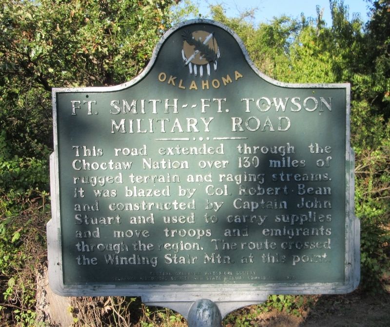
Ft. Smith -- Ft. Towson Military Road
Erected 1978 by Eastern Oklahoma Historical Society, Oklahoma Historical Society, and State Highway Commission.
Topics. This historical marker is listed in these topic lists: Forts and Castles • Native Americans • Roads & Vehicles • Settlements & Settlers.
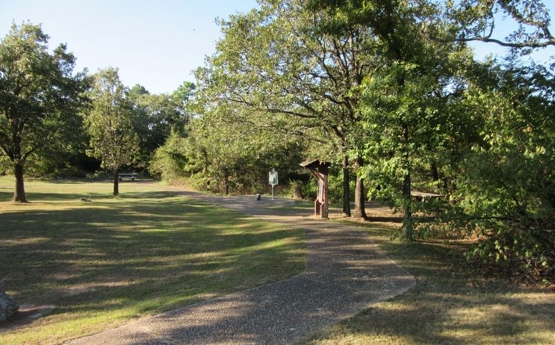
Location. 34° 47.802′ N, 94° 56.683′ W. Marker is near Talihina, Oklahoma, in Le Flore County. Marker is at the intersection of Talimena National Scenic Byway (Scenic State Highway 1/88) and Old Military Trail (U.S. 271), on the left when traveling east on Talimena National Scenic Byway. The marker stands at the Old Military Road Picnic Grounds. Touch for map. Marker is in this post office area: Wister OK 74966, United States of America. Touch for directions.
Other nearby markers. At least 8 other markers are within 9 miles of this marker, measured as the crow flies. First Military Road (here, next to this marker); Military Road of 1832 (within shouting distance of this marker); The Choctaw Nation (approx. 2.7 miles away); On a Clear Day (approx. 2.7 miles away); Deadman Vista (approx. 4.3 miles away); B-29 Crash Near Talihina (approx. 6.6 miles away); Old Lenox Mission (approx. 6.9 miles away); Lenox Mission (approx. 8.7 miles away). Touch for a list and map of all markers in Talihina.
Credits. This page was last revised on April 5, 2022. It was originally submitted on April 4, 2022, by Jason Armstrong of Talihina, Oklahoma. This page has been viewed 229 times since then and 57 times this year. Photos: 1, 2. submitted on April 4, 2022, by Jason Armstrong of Talihina, Oklahoma. • Devry Becker Jones was the editor who published this page.

