War Eagle in Benton County, Arkansas — The American South (West South Central)
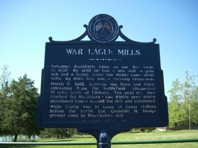
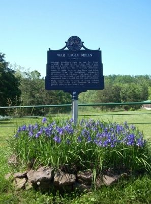
War Eagle Mills
March 8, 1862, Generals Van Dorn and Price, retreating from the battlefield, bivouacked 10 miles south of Elkhorn. The next day they reached the Blackburn - Van Winkle area where abandoned homes housed the sick and exhausted.
While Curtis was in camp at Cross Hollows before the battle Col. Grenville M. Dodge ground corn in Blackburn's mill.
Erected 1962 by Pea Ridge Memorial Association.
Topics. This historical marker is listed in these topic lists: Settlements & Settlers • War, US Civil. A significant historical month for this entry is March 1751.
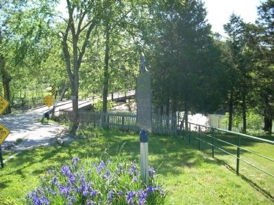
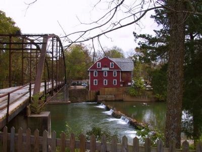
Location. 36° 16.067′ N, 93° 56.638′ W. Marker is in War Eagle, Arkansas, in Benton County. Marker is on High Sky Inn Road (State Highway 303) ¼ mile west of Bettis Hill Road, on the right when traveling north. This marker is just over the bridge from the War Eagle Mill. Touch for map. Marker is at or near this postal address: 11036 High Sky Inn Road, Rogers AR 72756, United States of America. Touch for directions.
Other nearby markers. At least 8 other markers are within 11 miles of this marker, measured as the crow flies. War Eagle Mills Farm (within shouting distance of this marker); War Eagle Mill (about 300 feet away, measured in a direct line); Van Winkle's Mill (approx. 2.2 miles away); Rev. James M. Ingram (approx. 9.4 miles away); Cross Hollows (approx. 9½ miles away); a different marker also named Cross Hollows (approx. 9½ miles away); First Baptist Church (approx. 10.3 miles away); First Free Will Baptist Church (approx. 10.4 miles away).
Related markers. Click here for a list of markers that are related to this marker. The list is markers installed by the Pea Ridge Memorial Association from 1962-1964 on the Pea Ridge Campaign.
Credits. This page was last revised on November 17, 2016. It was originally submitted on May 31, 2009, by Thomas Onions of Olathe, Kansas. This page has been viewed 2,216 times since then and 17 times this year. Photos: 1, 2, 3. submitted on May 31, 2009, by Thomas Onions of Olathe, Kansas. 4. submitted on December 10, 2011, by Michael Kindig of Elk Grove, California. • Craig Swain was the editor who published this page.


