Torresdale in Philadelphia in Philadelphia County, Pennsylvania — The American Northeast (Mid-Atlantic)
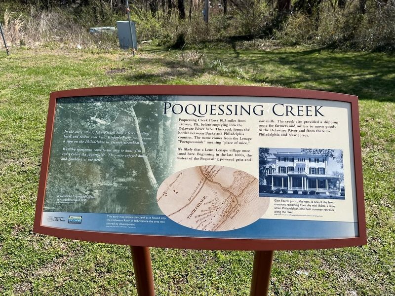
Poquessing Creek
In the early 1800s, John Risdon built a ferry landing, hotel and tavern near here. Risdon's Ferry soon became a stop on the Philadelphia to Trenton steamboat line.
Wealthy sportsmen came to the area to hunt, fish and explore the countryside. They also enjoyed dining and gambling at the hotel.
Poquessing Creek flows 10.3 miles from Trevose, PA, before emptying into the Delaware River here. The creek forms the border between Bucks and Philadelphia counties. The name comes from the Lenape "Poetquessnick" meaning "place of mice."
It's likely that a Lenni Lenape village once stood here. Beginning in the late 1600s, the waters of the Poquessing powered grist and saw mills. The creek also provided a shipping route for farmers and millers to move goods to the Delaware River and from there to Philadelphia and New Jersey.
[Captions:]
A section of Poquessing Creek as it looked around 1890.
This early map shows the creek as it flowed into the Delaware River in 1862 before the area was altered by development.
Glen Foerd, just to the east, is one of the few mansions remaining from the mid-1850s, a time when Philadelphia's elite built summer retreats along the river.
Erected by Philadelphia Parks & Recreation; Delaware River City Corp.
Topics. This historical marker is listed in these topic lists: Architecture • Industry & Commerce • Native Americans • Settlements & Settlers • Waterways & Vessels. A significant historical year for this entry is 1890.
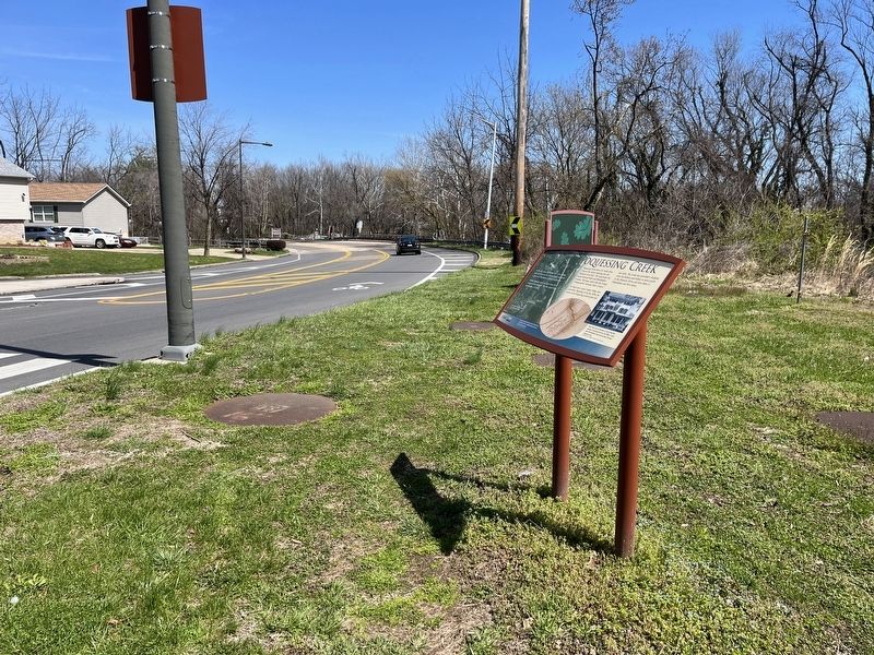
Location. 40° 3.18′ N, 74° 58.956′ W. Marker is in Philadelphia, Pennsylvania, in Philadelphia County. It is in Torresdale. Marker is at the intersection of State Road and Grant Avenue, on the right when traveling east on State Road. Touch for map. Marker is at or near this postal address: 5000 Grant Ave, Philadelphia PA 19114, United States of America. Touch for directions.
Other nearby markers. At least 8 other markers are within 2 miles of this marker, measured as the crow flies. Glen Foerd on the Delaware (approx. 0.2 miles away); Torresdale (approx. 0.8 miles away); Tidal Delaware Water Trail (approx. one mile away); Veterans Memorial (approx. 1.3 miles away in New Jersey); Andalusia (approx. 1.4 miles away); Delanco's Tribute to Those Who Lost Their Lives in the Second World War 1941 - 1945 (approx. 1.4 miles away in New Jersey); Honor Roll (approx. 1.4 miles away in New Jersey); To Those Who Made the Supreme Sacrifice - Korea - Vietnam (approx. 1.4 miles away in New Jersey). Touch for a list and map of all markers in Philadelphia.
Credits. This page was last revised on February 2, 2023. It was originally submitted on April 5, 2022, by Devry Becker Jones of Washington, District of Columbia. This page has been viewed 439 times since then and 81 times this year. Photos: 1, 2. submitted on April 5, 2022, by Devry Becker Jones of Washington, District of Columbia.

