Northampton in Hampshire County, Massachusetts — The American Northeast (New England)
Pomeroy Terrace
Historic District

Photographed By Michael Herrick, March 30, 2022
1. Pomeroy Terrace Marker
National Register of Historic Places Registration Form
Click for more information.
Click for more information.
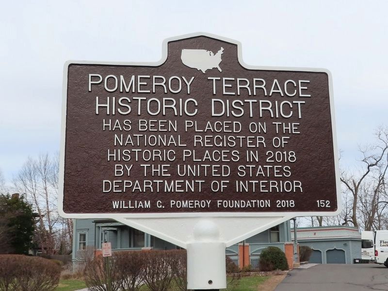
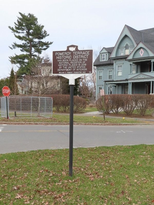
Pomeroy Terrace Historic District has been placed on the National Register of Historic Places in 2018 by the United States Department of the Interior
Erected 2018 by William G. Pomeroy Foundation. (Marker Number 152.)
Topics. This historical marker is listed in these topic lists: Cemeteries & Burial Sites • Colonial Era • Settlements & Settlers. A significant historical year for this entry is 1661.
Location. 42° 19.376′ N, 72° 37.509′ W. Marker is in Northampton, Massachusetts, in Hampshire County. Marker is at the intersection of Bridge Street (Massachusetts Route 9) and Pomeroy Terrace, on the left when traveling west on Bridge Street. Touch for map. Marker is in this post office area: Northampton MA 01060, United States of America. Touch for directions.
Other nearby markers. At least 8 other markers are within walking distance of this marker. BPOE Veterans Monument (about 300 feet away, measured in a direct line); Liberty Tree Memorial (about 300 feet away); Cornet Joseph Parsons (about 500 feet away); Pomeroy (about 600 feet away); Masonic Block (approx. ¼ mile away); Smith Charities (approx. 0.3 miles away); Northampton Gulf War Monument (approx. 0.3 miles away); First Meeting House (approx. 0.3 miles away). Touch for a list and map of all markers in Northampton.
Regarding Pomeroy Terrace. "The Pomeroy Terrace Historic District is a residential area and cemetery covering approximately 32 acres in the city of Northampton. The city is located in Hampshire County, bounded on the north by Williamsburg and Whatley, to the west by Westhampton, and to the south by Easthampton.... There are a total of 157 resources, of which 128 are contributing and 29 are non-contributing."
Also see . . . Pomeroy Terrace Historic District. Wikipedia entry (Submitted on April 6, 2022, by Michael Herrick of Southbury, Connecticut.)
Credits. This page was last revised on August 18, 2023. It was originally submitted on April 6, 2022, by Michael Herrick of Southbury, Connecticut. This page has been viewed 119 times since then and 14 times this year. Photos: 1, 2. submitted on April 6, 2022, by Michael Herrick of Southbury, Connecticut.
