Downtown Kansas City in Jackson County, Missouri — The American Midwest (Upper Plains)
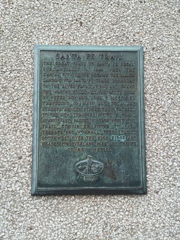
Santa Fe Trail
Erected by Native Sons of Kansas City.
Topics. This historical marker is listed in these topic lists: Exploration • Roads & Vehicles • Settlements & Settlers. A significant historical year for this entry is 1849.
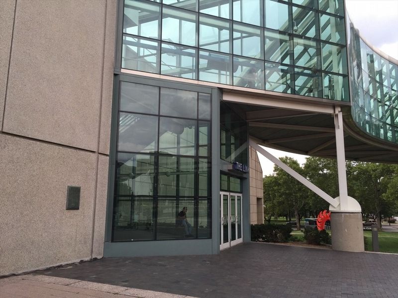
Location. 39° 4.99′ N, 94° 34.931′ W. Marker is in Kansas City, Missouri, in Jackson County. It is in Downtown Kansas City. Marker is on Grand Boulevard just south of East Pershing Road, on the right when traveling south. Touch for map. Marker is at or near this postal address: 2450 Grand Blvd, Kansas City MO 64108, United States of America. Touch for directions.
Other nearby markers. At least 8 other markers are within walking distance of this marker. Washington Park Statue (about 500 feet away, measured in a direct line); In Memory of Law Enforcement Officers Killed in the "Kansas City Massacre" (approx. 0.2 miles away); Union Station Kansas City (approx. 0.2 miles away); Liberty Memorial Dedication Site (approx. 0.2 miles away); Union Station's Lamp Post Clock (approx. 0.2 miles away); Liberty Memorial (approx. ¼ mile away); The Chicago, Milwaukee and St. Paul Railroad (approx. 0.3 miles away); The Freight House (approx. 0.3 miles away). Touch for a list and map of all markers in Kansas City.
Credits. This page was last revised on February 10, 2023. It was originally submitted on April 6, 2022, by Adam Margolis of Mission Viejo, California. This page has been viewed 244 times since then and 33 times this year. Photos: 1, 2. submitted on April 6, 2022, by Adam Margolis of Mission Viejo, California. • Devry Becker Jones was the editor who published this page.

