Near Naples in Collier County, Florida — The American South (South Atlantic)
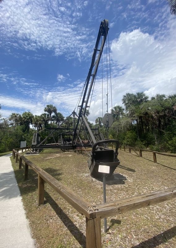
Bay City Walking Dredge No. 489
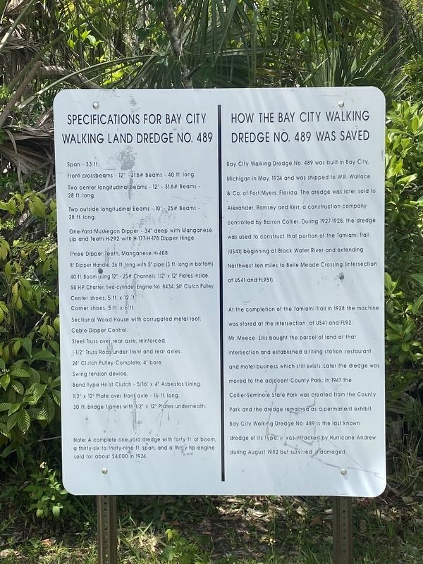
How the Bay City Walking Dredge No. 489 was saved
Bay City Walking Dredge No. 489 was built in Bay City, Michigan in May, 1924 and was shipped to W.R. Wallace & Co. of Fort Myers, Florida. The dredge was later sold to Alexander, Ramsey and Kerr, a construction company controlled by Barron Collier. During 1927-1928, the dredge was used to construct that portion of the Tamiami Trail (US41) beginning at Black Water River and extending Northwest ten miles to Belle Meade Crossing (intersection of US41 and FL951).
At the completion of the Tamiami Trail in 1928 the machine was stored at the intersection of US41 and FL92. Mr. Meece Ellis bought the parcel of land at that intersection and established a filling station, restaurant and motel business which still exists. Later the dredge was moved to the adjacent County Park. In 1947 the Collier-Seminole State Park was created from the County Park and the dredge remained as a permanent exhibit. Bay City Walking Dredge No 489 is the last known dredge of its type. It was attacked by Hurricane Andrew during August 1992 but survived undamaged.
Specifications for Bay City Walking Land Dredge No. 489
Span - 33 ft.
Front crossbeams - 12 31.8# Beams - 40 ft. long.
Two center longitudinal Beams - 12 - 31.6# Beams - 28 ft. long.
Two outside longitudinal Beams - 10"- 25# Beams - 28 ft. long.
One-Yard Muskegon Dipper 34° deep with Manganese Lip and Teeth H-292 with H-177-H-178 Dipper Hinge.
Three Dipper Teeth, Manganese H-408.
8 Dipper Handle, 26 11 long with 5 pipe (3 ft. long in bottom).
40 ft. Boom using 12 - 25# Channels. 1/2 x 12 Plates inside.
50 H.P. Charter, two-cylinder Engine No. 8434. 24' Clutch Pulley.
Center shoes, 5 ft. x 12 ft.
Corner shoes, 5 ft. x 6 ft.
Sectional Wood House with corrugated metal roof.
Cable Dipper Control
Steel Truss over rear axle, reinforced.
1-1/2 Truss Rods under front and rear axles.
24 Clutch Pulley Complete, 4 bore.
Swing tension device
Band type Ho'st Clutch 5/16 x 4 Asbestos Lining.
1/2 x 12 Plate over front axle - 16 ft. long.
30 ft. Bridge frames with 1/2 x 12 Plates underneath.
Note: A complete one yard dredge with forty ft of boom, a thirty-six to thirty-nine ft. span, and a thirty-hp engine sold for about $4,000 in 1924.
Topics. This historical marker is listed in this topic list: Roads & Vehicles. A significant historical month for this entry is May 1924.
Location. 25° 59.512′ N, 81° 35.599′ W. Marker is near Naples, Florida, in Collier County. Marker can be reached from Tamiami Trail East (U.S. 41) near San Marco Road (County
Route 92), on the right when traveling south. Located in Collier-Seminole State Park. Touch for map. Marker is at or near this postal address: 20200 Tamiami Trail East, Naples FL 34114, United States of America. Touch for directions.
Other nearby markers. At least 8 other markers are within 16 miles of this marker, measured as the crow flies. The Walking Dredge (a few steps from this marker); This Bay City Walking Wedge (a few steps from this marker); How the Dredge Walks (within shouting distance of this marker); Bay City Walking Dredge (within shouting distance of this marker); Big Cypress Swamp (within shouting distance of this marker); The Blockhouse (about 800 feet away, measured in a direct line); Crayton Cove (approx. 15.9 miles away); The Naples Canal (approx. 15.9 miles away). Touch for a list and map of all markers in Naples.
Also see . . . Bay City Walking Dredge. (Submitted on April 7, 2022, by Steve Stoessel of Niskayuna, New York.)
Credits. This page was last revised on April 26, 2022. It was originally submitted on April 6, 2022, by Steve Stoessel of Niskayuna, New York. This page has been viewed 138 times since then and 35 times this year. Photos: 1. submitted on April 6, 2022, by Steve Stoessel of Niskayuna, New York. 2. submitted on April 7, 2022, by Steve Stoessel of Niskayuna, New York. • Bernard Fisher was the editor who published this page.

