Trabuco Canyon in Orange County, California — The American West (Pacific Coastal)
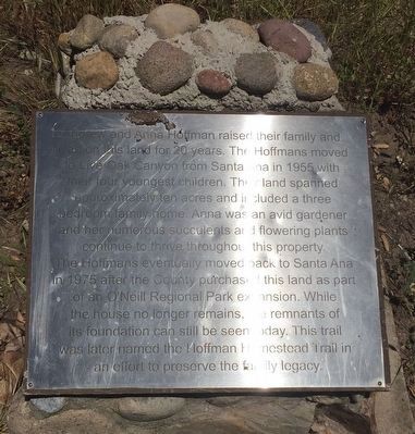
Andrew and Anna Hoffman
The Hoffmans eventually moved back to Santa Ana in 1975 after the County purchased this land as part of an O'Neill Regional Park extension. While the house no longer remains, the remnants of its foundation can still be seen today. This trail was later named the Hoffman Homestead Trail in an effort to preserve the family legacy.
Topics. This historical marker is listed in these topic lists: Notable Places • Parks & Recreational Areas. A significant historical year for this entry is 1955.
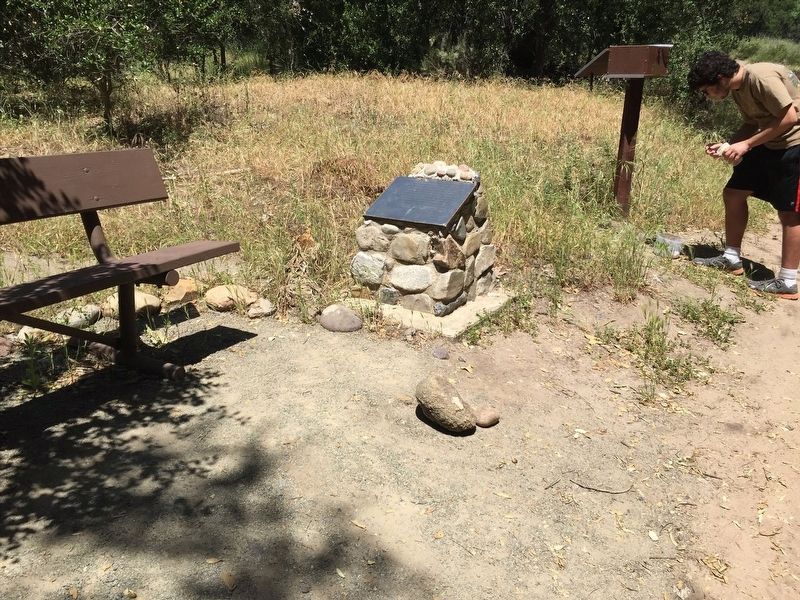
Location. 33° 39.869′ N, 117° 36.07′ W. Marker is in Trabuco Canyon, California, in Orange County. Marker can be reached from Live Oak Canyon Road. Marker is located on a trail at the O'Neill Regional Park. Touch for map. Marker is in this post office area: Trabuco Canyon CA 92679, United States of America. Touch for directions.
Other nearby markers. At least 8 other markers are within 4 miles of this marker, measured as the crow flies. O'Neill Park (approx. 0.8 miles away); Land of the Acjachemen (approx. 1.3 miles away); Lisa Anne Frost (approx. 1.3 miles away); Women's Individual Road Race (approx. 2.9 miles away); Men's Individual Road Race (approx. 3 miles away); Florence Joyner Olympiad Park (approx. 3 miles away); Florence "Flo-Jo" Joyner Memorial (approx. 3 miles away); The Legend of Flores Peak (approx. 3.4 miles away).
Credits. This page was last revised on April 13, 2022. It was originally submitted on April 7, 2022, by Adam Margolis of Mission Viejo, California. This page has been viewed 148 times since then and 12 times this year. Photos: 1, 2. submitted on April 7, 2022, by Adam Margolis of Mission Viejo, California. • Syd Whittle was the editor who published this page.
Editor’s want-list for this marker. Photo of the foundation remnants noted in the marker text. • Can you help?

