Near Naples in Collier County, Florida — The American South (South Atlantic)
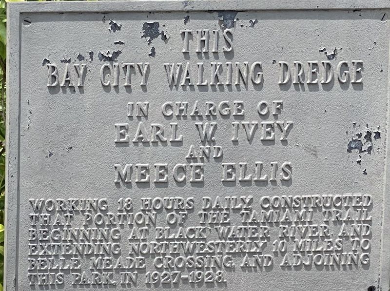
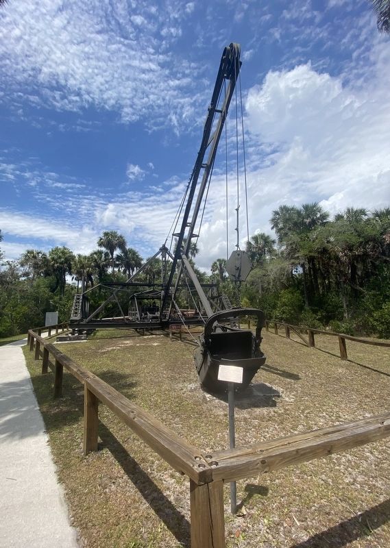
This Bay City Walking Wedge
in charge of
Earl W. Ivey
and
Meece Ellis
Topics. This historical marker is listed in this topic list: Roads & Vehicles.
Location. 25° 59.505′ N, 81° 35.589′ W. Marker is near Naples, Florida, in Collier County. Marker can be reached from Tamiami Trail East (U.S. 41) near San Marco Road (County Route 92), on the right when traveling south. Located in Collier-Seminole State Park. Touch for map. Marker is at or near this postal address: 20200 Tamiami Trail East, Naples FL 34114, United States of America. Touch for directions.
Other nearby markers. At least 8 other markers are within 16 miles of this marker, measured as the crow flies. How the Dredge Walks (here, next to this marker); Bay City Walking Dredge (here, next to this marker); The Walking Dredge (a few steps from this marker); Bay City Walking Dredge No. 489 (a few steps from this marker); Big Cypress Swamp (within shouting distance of this marker); The Blockhouse (approx. 0.2 miles away); Crayton Cove (approx. 15.9 miles away); The Naples Canal (approx. 15.9 miles away). Touch for a list and map of all markers in Naples.
Also see . . . Bay City Walking Dredge - Florida State Parks. (Submitted on April 7, 2022, by Steve Stoessel of Niskayuna, New York.)
Credits. This page was last revised on April 26, 2022. It was originally submitted on April 7, 2022, by Steve Stoessel of Niskayuna, New York. This page has been viewed 85 times since then and 12 times this year. Photos: 1, 2. submitted on April 7, 2022, by Steve Stoessel of Niskayuna, New York. • Bernard Fisher was the editor who published this page.

