Near Sioux Falls in Lincoln County, South Dakota — The American Midwest (Upper Plains)
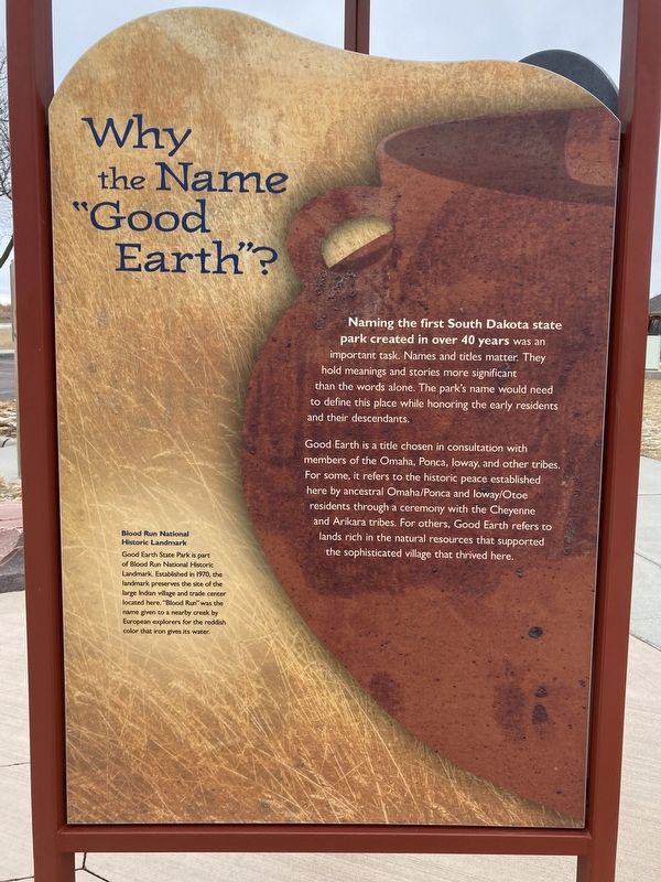
Why the Name “Good Earth”?
Naming the first South Dakota state park created in over 40 years was an important task. Names and titles matter. They hold meanings and stories more significant than the words alone. The park's name would need to define this place while honoring the early residents and their descendants.
Good Earth is a title chosen in consultation with members of the Omaha, Ponca, Ioway, and other tribes. For some, it refers to the historic peace established here by ancestral Omaha/Ponca and Ioway/Otoe residents through a ceremony with the Cheyenne and Arikara tribes. For others, Good Earth refers to lands rich in the natural resources that supported the sophisticated village that thrived here.
[Caption:]
Blood Run National Historic Landmark
Good Earth State Park is part of Blood Run National Historic Landmark. Established in 1970, the landmark preserves the site of the large Indian village and trade center located here "Blood Run" was the name given to a nearby creek by European explorers for the reddish color that iron gives its water.
Erected by South Dakota Department of Game, Fish and Parks.
Topics and series. This historical marker is listed in these topic lists: Native Americans • Parks & Recreational Areas • Settlements & Settlers. In addition, it is included in the National Historic Landmarks series list. A significant historical year for this entry is 1970.
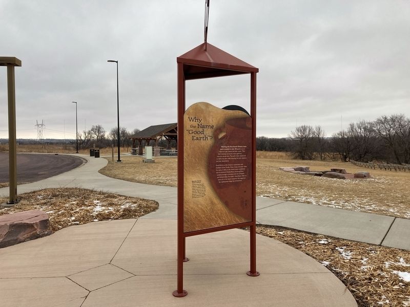
Location. 43° 28.656′ N, 96° 35.66′ W. Marker is near Sioux Falls, South Dakota, in Lincoln County. Marker can be reached from 480th Avenue (County Road 135) north of 270th Street, on the right when traveling north. The marker stands outside the visitor center to Good Earth State Park. Touch for map. Marker is at or near this postal address: 26924 480th Ave, Sioux Falls SD 57108, United States of America. Touch for directions.
Other nearby markers. At least 8 other markers are within walking distance of this marker. 1980s (here, next to this marker); 1870s to the Present (a few steps from this marker); 1888 (a few steps from this marker); 1870s (within shouting distance of this marker); 1714 (within shouting distance of this marker); 1600s (within shouting distance of this marker); 1300s (within shouting distance of this marker); Sacred Images (within shouting distance of this marker). Touch for a list and map of all markers in Sioux Falls.
Credits. This page was last revised on April 10, 2022. It was originally submitted on April 7, 2022, by Connor Olson of Kewaskum, Wisconsin. This page has been viewed 248 times since then and 39 times this year. Photos: 1, 2. submitted on April 7, 2022, by Connor Olson of Kewaskum, Wisconsin. • Devry Becker Jones was the editor who published this page.

