Near Avery Island in Iberia Parish, Louisiana — The American South (West South Central)
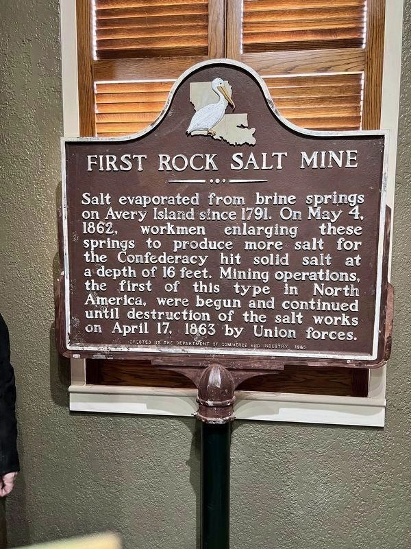
First Rock Salt Mine
Photographed by Russell Johnson
1. First Rock Salt Mine Marker (Now located indoors).
Now located at the Salt Mine Experience (Spot 6) on the tour.
Topics. This historical marker is listed in these topic lists: Industry & Commerce • War, US Civil. A significant historical month for this entry is April 1892.
Location. 29° 54.764′ N, 91° 54.322′ W. Marker is near Avery Island, Louisiana, in Iberia Parish. It is on Avery Island Road (State Highway 329) 0.2 miles north of Pepper Field Road, on the left when traveling north. This marker is now located in the tour area of Avery Island. It is at Spot 6 on the tour. Salt Mine Experience. Touch for map. Marker is in this post office area: Avery Island LA 70513, United States of America. Touch for directions.

Regionally, this marker is in Acadiana — Cajun Country and specifically in Bayou Country. It is also in the American South, specifically in the Deep South, and on the Gulf Coast.
this page online
Other nearby markers. At least 8 other markers are within walking distance of this marker: Avery Island Salt Dome (within shouting distance of this marker); Southern Live Oaks (about 500 feet away, measured in a direct line); Bayou Petite Anse (approx. ¼ mile away); Avery Island, Louisiana (approx. 0.3 miles away); Bamboo (approx. half a mile away); McIlhenny (approx. half a mile away); Bird City (approx. half a mile away); Sunken Gardens (approx. 0.6 miles away). Touch for a list and map of all markers in Avery Island.
Photographed by Gregory Walker, January 8, 2014
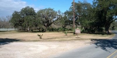
2. Former location of Rock Salt Mine Marker.
Photographed by Gregory Walker, January 8, 2014
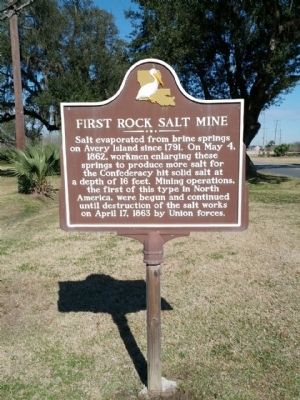
3. First Rock Salt Mine Marker at its former location.
Credits. This page was last revised on April 9, 2022. It was originally submitted on February 7, 2014, by Gregory Walker of La Grange, Texas. This page has been viewed 1,658 times since then and 85 times this year. Last updated on April 8, 2022, by Russell Johnson of Houma, Louisiana. Photos: 1. submitted on April 8, 2022, by Russell Johnson of Houma, Louisiana. 2, 3. submitted on February 7, 2014, by Gregory Walker of La Grange, Texas. • Mark Hilton was the editor who published this page.
