Groveton in Prince William County, Virginia — The American South (Mid-Atlantic)
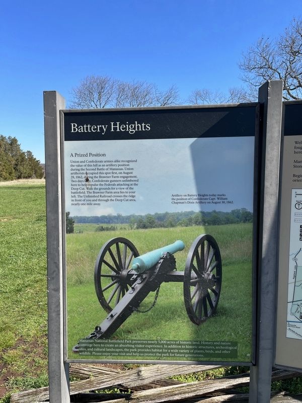
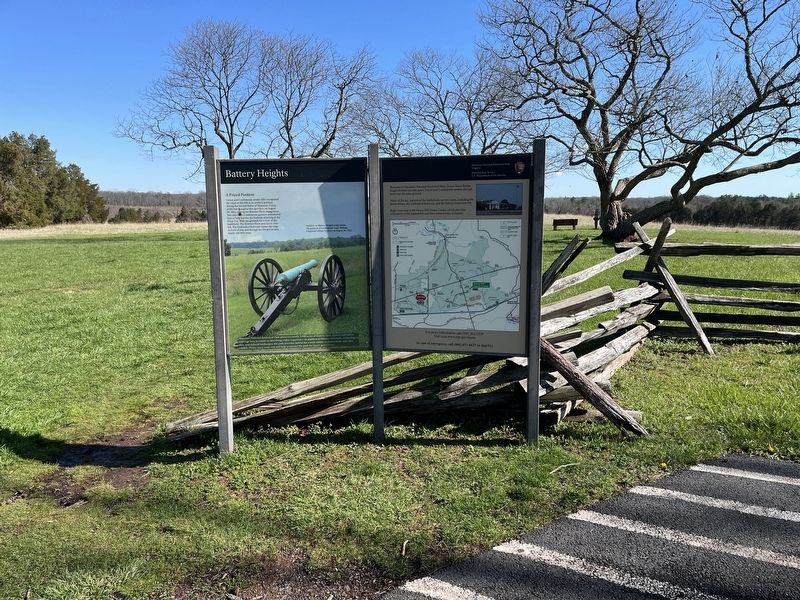
Battery Heights
A Prized Position
Union and Confederate armies alike recognized the value of this hill as an artillery position during the Second Battle of Manassas. Union artillerists occupied this spot first, on August 28, 1862, during the Brawner Farm engagement. Two days later, Confederate gunners unlimbered here to help repulse the Federals attacking at the Deep Cut. Walk the grounds for a view of the battlefield. The Brawner Farm area lies to your left. The Unfinished Railroad crosses the ridge in front of you and through the Deep Cut area, nearly one mile away.
Manassas National Battlefield Park preserves nearly 5,000 acres of historic land. History and nature converge here to create an absorbing visitor experience. In addition to historic structures, archeological sites, and cultural landscapes, the park provides habitat for a wide variety of plants, birds, and other wildlife. Please enjoy your visit and help us protect the park for future generations.
[Caption:]
Artillery on Battery Heights today marks the position of Confederate Capt. William Chapman's Dixie Artillery on August 30, 1862.
Erected by National Park Service, U.S. Department of the Interior.
Topics. This historical marker is listed in this topic list: War, US Civil. A significant historical date for this entry is August 28, 1862.
Location. 38° 48.639′ N, 77° 33.512′ W. Marker is in Groveton, Virginia, in Prince William County. Marker can be reached from Lee Highway (U.S. 29) 0.6 miles west of Featherbed Lane, on the right when traveling west. Touch for map. Marker is at or near this postal address: 12048 Lee Hwy, Gainesville VA 20155, United States of America. Touch for directions.
Other nearby markers. At least 8 other markers are within walking distance of this marker. Manassas National Battelfield Park (about 500 feet away, measured in a direct line); a different marker also named Battery Heights (about 500 feet away); Broken by Artillery (about 700 feet away); Company B, 4th U.S. Artillery (approx. 0.2 miles away); 7th Wisconsin Infantry (approx. ¼ mile away); 76th New York Infantry (approx. ¼ mile away); 21st North Carolina Infantry (approx. 0.3 miles away); Shooting Gallery (approx. 0.3 miles away). Touch for a list and map of all markers in Groveton.
Credits. This page was last revised on April 9, 2022. It was originally submitted on April 9, 2022, by Devry Becker Jones of Washington, District of Columbia. This page has been viewed 123 times since then and 15 times this year. Photos: 1, 2. submitted on April 9, 2022, by Devry Becker Jones of Washington, District of Columbia.

