Near Leesburg in Loudoun County, Virginia — The American South (Mid-Atlantic)
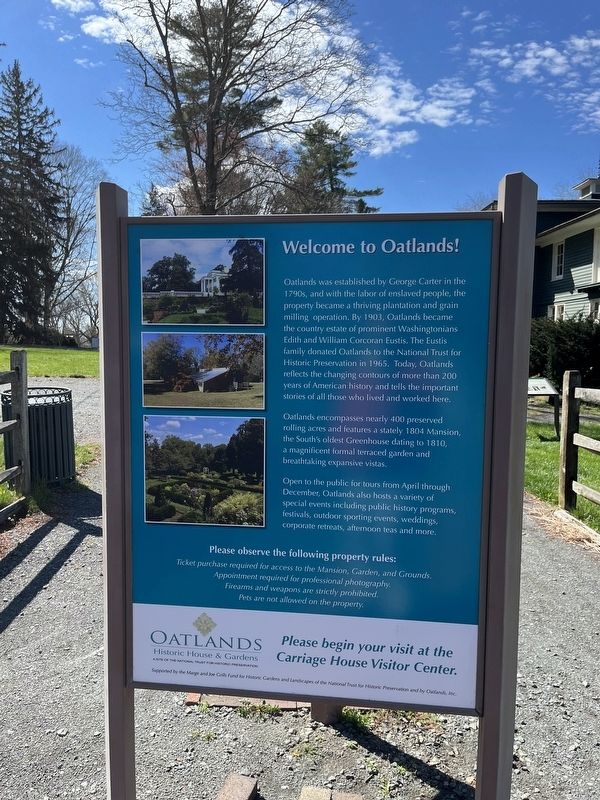
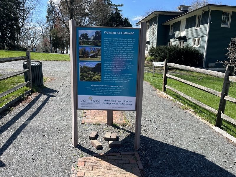
Welcome to Oatlands!
Oatlands was established by George Carter in the 1790s, and with the labor of enslaved people, the property became a thriving plantation and grain milling operation. By 1903, Oatlands became the country estate of prominent Washingtonians Edith and William Corcoran Eustis. The Eustis family donated Oatlands to the National Trust for Historic Preservation in 1965. Today, Oatlands reflects the changing contours of more than 200 years of American history and tells the important stories of all those who lived and worked here.
Oatlands encompasses nearly 400 preserved rolling acres and features a stately 1804 Mansion, the South's oldest Greenhouse dating to 1810, a magnificent formal terraced garden and breathtaking expansive vistas.
Open to the public for torus from April through December, Oatlands also hosts a variety of special events including public history programs, festivals, outdoor sporting events, weddings, corporate retreats, afternoon teas and more.
Erected by Oatlands Historic House & Gardens, a site of the National Trust for Historic Preservation.
Topics. This historical marker is listed in these topic lists: African Americans • Agriculture • Horticulture & Forestry • Settlements & Settlers. A significant historical year for this entry is 1903.
Location. 39° 2.526′ N, 77° 37.132′ W. Marker is near Leesburg, Virginia, in Loudoun County. Marker is on Oatlands Plantation Lane, 0.4 miles south of James Monroe Highway (U.S. 15), on the right when traveling south. Touch for map. Marker is at or near this postal address: 20805 Oatlands Plantation Ln, Leesburg VA 20175, United States of America. Touch for directions.
Other nearby markers. At least 8 other markers are within walking distance of this marker. Oatlands (here, next to this marker); The Carriage House (a few steps from this marker); The Enslaved at Oatlands (about 300 feet away, measured in a direct line); The Bachelor's Cottage (about 500 feet away); The Greenhouse (about 600 feet away); The Mansion (about 600 feet away); The Enslaved Community (about 600 feet away); Reclaim Your Story (about 700 feet away). Touch for a list and map of all markers in Leesburg.
Credits. This page was last revised on April 9, 2022. It was originally submitted on April 9, 2022, by Devry Becker Jones of Washington, District of Columbia. This page has been viewed 113 times since then and 14 times this year. Photos: 1, 2, 3, 4. submitted on April 9, 2022, by Devry Becker Jones of Washington, District of Columbia.


