Near Leesburg in Loudoun County, Virginia — The American South (Mid-Atlantic)
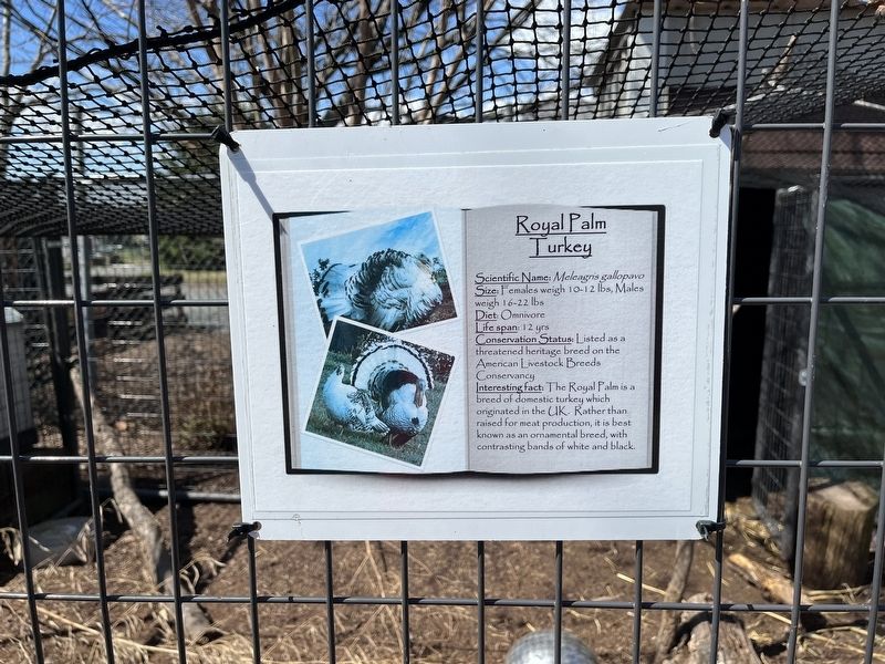
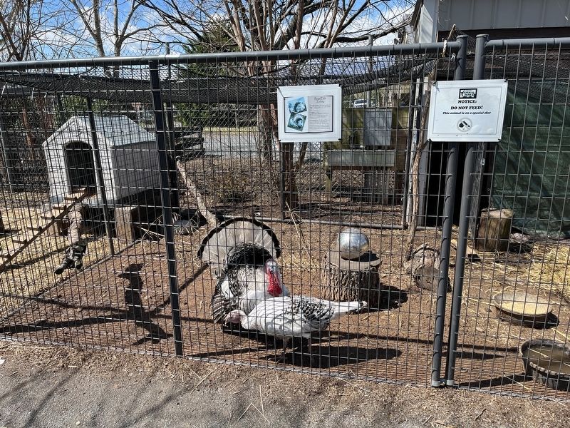
Royal Palm Turkey
Scientific Name: Meleagris gallopavo
Size: Females weigh 10-12 lbs, Males weigh 16-22 lbs
Diet: Omnivore
Life span: 12 yrs
Conservation Status: Listed as a threatened heritage breed on the American Livestock Breeds Conservancy
Interesting fact: The Royal Palm is a breed of domestic turkey which originated in the UK. Rather than raised for meat production, it is best known as an ornamental breed, with contrasting bands of white and black.
Erected by Leesburg Animal Park.
Topics. This historical marker is listed in these topic lists: Agriculture • Animals.
Location. 39° 5.06′ N, 77° 35.518′ W. Marker is near Leesburg, Virginia, in Loudoun County. Marker is on James Monroe Highway (Route 15) 0.2 miles east of Emerald Park Drive, on the right when traveling east. Touch for map. Marker is at or near this postal address: 19270 James Monroe Hwy, Leesburg VA 20175, United States of America. Touch for directions.
Other nearby markers. At least 8 other markers are within 3 miles of this marker, measured as the crow flies. Saving the Declaration of Independence / The War of 1812 (approx. ¼ mile away); Rokeby (approx. 0.8 miles away); The Great Falls Line (approx. 2 miles away); Electric Trains on the W&OD (approx. 2.1 miles away); Leesburg Passenger Station (approx. 2.4 miles away); The W&OD Railway and Jim Crow Laws (approx. 2.4 miles away); This Is W&OD Trail: Leesburg! (approx. 2.4 miles away); First Mt. Olive Methodist Episcopal Church (approx. 2.4 miles away). Touch for a list and map of all markers in Leesburg.
Credits. This page was last revised on April 9, 2022. It was originally submitted on April 9, 2022, by Devry Becker Jones of Washington, District of Columbia. This page has been viewed 805 times since then and 145 times this year. Photos: 1, 2. submitted on April 9, 2022, by Devry Becker Jones of Washington, District of Columbia.

