Kodak in Sevier County, Tennessee — The American South (East South Central)
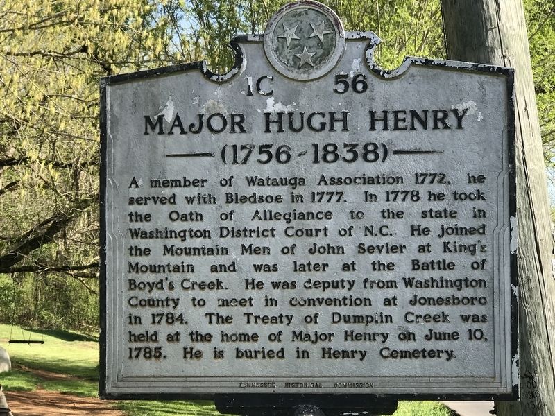
Major Hugh Henry
(1756 - 1838)
Erected by Tennessee Historical Commission. (Marker Number 1C 56.)
Topics and series. This historical marker is listed in these topic lists: Native Americans • Settlements & Settlers • War, US Revolutionary. In addition, it is included in the Tennessee Historical Commission series list. A significant historical date for this entry is June 10, 1785.
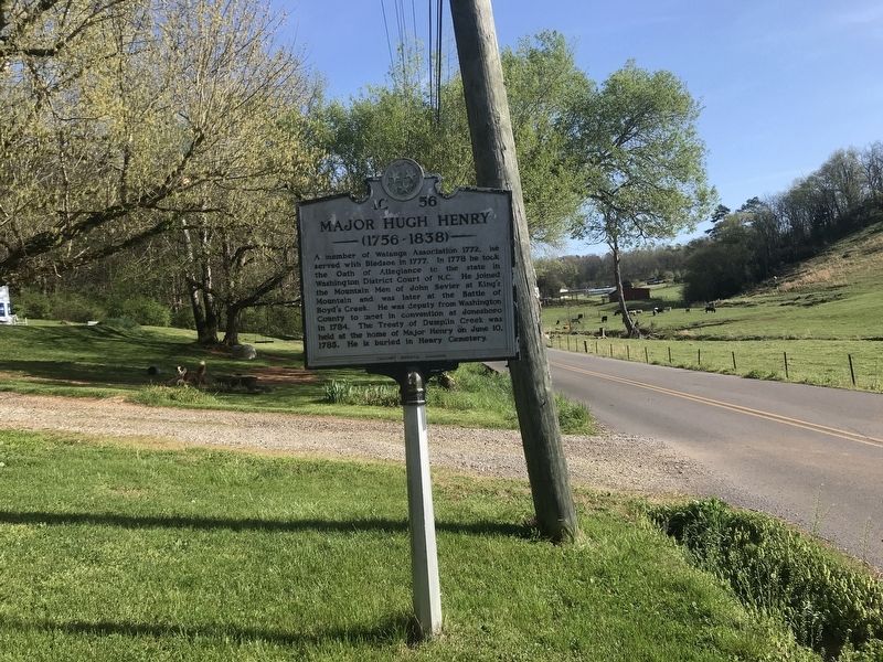
Location. 35° 57.801′ N, 83° 38.186′ W. Marker is in Kodak, Tennessee, in Sevier County. Marker is on Bent Road south of Underwood Road, on the left when traveling south. Touch for map. Marker is at or near this postal address: 4168 Bent Rd, Kodak TN 37764, United States of America. Touch for directions.
Other nearby markers. At least 8 other markers are within 4 miles of this marker, measured as the crow flies. Treaty of Dumplin Creek (approx. 0.7 miles away); Henry's Station (approx. 0.9 miles away); Dumplin Creek Treaty (approx. 2 miles away); The Great Indian Warpath (approx. 2.8 miles away); The Kelly Family Farm (approx. 3.2 miles away); Steamboat Times on the French Broad (approx. 3.3 miles away); Wheatlands (approx. 3˝ miles away); Seven Islands Methodist Church (approx. 4 miles away). Touch for a list and map of all markers in Kodak.
Credits. This page was last revised on April 12, 2022. It was originally submitted on April 12, 2022, by Duane and Tracy Marsteller of Murfreesboro, Tennessee. This page has been viewed 475 times since then and 64 times this year. Photos: 1, 2. submitted on April 12, 2022, by Duane and Tracy Marsteller of Murfreesboro, Tennessee.

