Saratoga in Santa Clara County, California — The American West (Pacific Coastal)
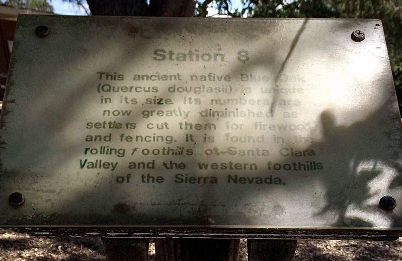
Station 8
Photographed by Adam Margolis, June 18, 2016
1. Station 8 Marker
Topics. This historical marker is listed in these topic lists: Environment • Horticulture & Forestry • Industry & Commerce.
Location. 37° 15.846′ N, 122° 0.601′ W. Marker is in Saratoga, California, in Santa Clara County. It can be reached from Fruitvale Avenue. )n grounds of West Valley College. Touch for map. Marker is in this post office area: Saratoga CA 95070, United States of America. Touch for directions.

Regionally, this marker is in California’s San Francisco Bay Area, in Silicon Valley, and on the Coast Ranges. It is also on the American Pacific Coast. Globally, it is in North America, on the Ring of Fire, on the Pacific Rim, in the Western Hemisphere, in the Western World, and in the Anglosphere. Historically, it finds itself in what was once New Spain and also Mexico’s
this page online
Other nearby markers. At least 8 other markers are within 2 miles of this marker, measured as the crow flies: September 11, 2001 (within shouting distance of this marker); Sugar Pine (Pinus lambertiana) (within shouting distance of this marker); Warner Hutton House (approx. 0.4 miles away); Saratoga (approx. 1.2 miles away); Methodist-Episcopal Church (approx. 1.3 miles away); Saratoga World War I Memorial (approx. 1.3 miles away); Saratoga State Bank (approx. 1.3 miles away); John C. Hutchinson Building (approx. 1.4 miles away). Touch for a list and map of all markers in Saratoga.
Photographed by Adam Margolis, June 18, 2016
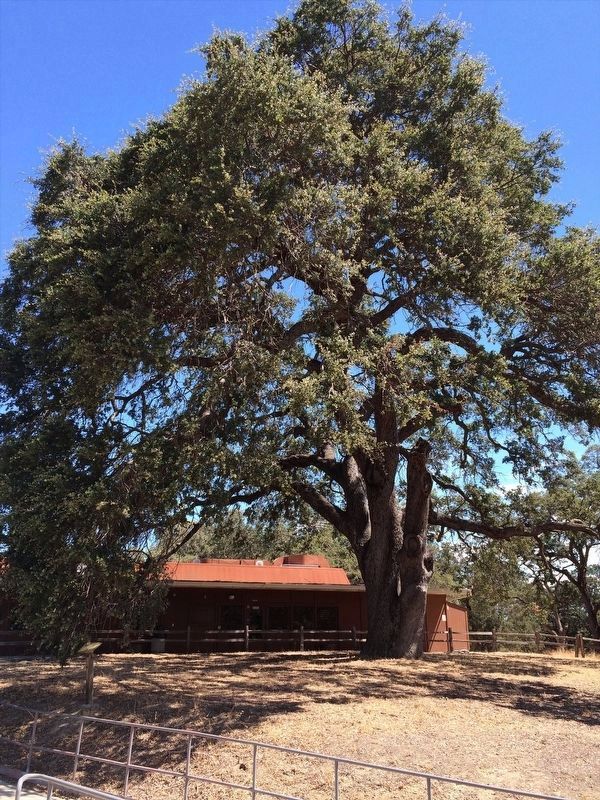
2. Station 8 Marker
Marker can be seen to the left in this image.
Credits. This page was last revised on April 29, 2022. It was originally submitted on April 13, 2022, by Adam Margolis of Mission Viejo, California. This page has been viewed 303 times since then and 11 times this year. Photos: 1, 2. submitted on April 13, 2022, by Adam Margolis of Mission Viejo, California. • Bill Pfingsten was the editor who published this page.
