Southside in San Antonio in Bexar County, Texas — The American South (West South Central)
Mission San Francisco de la Espada Dam, Ditch and Aqueduct

cmh2315fl via Flickr (CC BY-NC 2.0), December 30, 2020
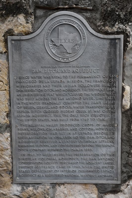
1. Mission San Francisco de la Espada Dam, Ditch and Aqueduct Marker
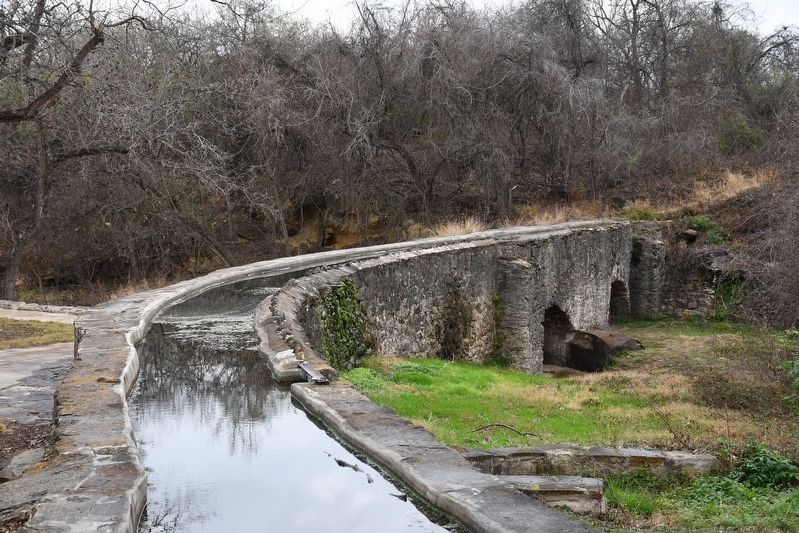
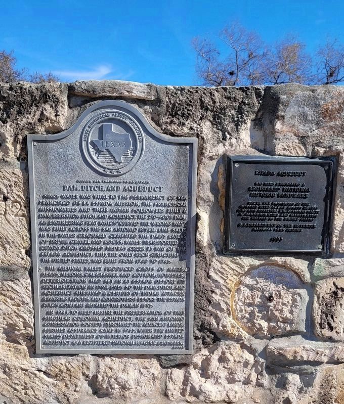
Since water was vital to the permanency of San Francisco de la Espada Mission, the Franciscan missionaries and their Indian followers built a dam, irrigation ditch, and aqueduct. The 270-foot dam, an engineering feat which "curved the wrong way", was built across the San Antonio River. Lime salts in the water gradually cemented the dam's layers of brush, gravel, and rocks. Water transported by Espada ditch crossed Piedras creek by way of the Espada aqueduct. This, the only such structure in the United States, was built from 1740 to 1745.
The Alluvial Valley produced crops of maize, beans, melons, calabashes and cotton; however, deterioration had set in at Espada before its secularization in 1794. Even so the dam, ditch, and aqueduct survived a century of Indian attacks, ravaging floods, and controversy before the Espada Ditch Company repaired the dam in 1895.
In 1941, to help insure the preservation of this singular colonial aqueduct, the San Antonio Conservation Society purchased the adjacent lands. Further assurance came in 1965, when the United States Department of Interior designated Espada aqueduct as a registered National Historic Landmark.
Erected 1970 by State Historical Survey Committee. (Marker Number 3412.)
Topics and series. This historical marker is listed in these topic lists: Native Americans • Waterways & Vessels. In addition, it is included in the National Historic Landmarks series list. A significant historical year for this entry is 1740.
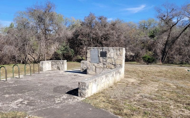
Location. 29° 19.974′ N, 98° 27.695′ W. Marker is in San Antonio, Texas, in Bexar County. It is in Southside. Marker is on Espada Road north of East Ashley Road, on the right when traveling north. Touch for map. Marker is at or near this postal address: 9045 Espada Rd, San Antonio TX 78214, United States of America. Touch for directions.
Other nearby markers. At least 8 other markers are within walking distance of this marker. Espada Aqueduct (here, next to this marker); Bridging the Gulch (within shouting distance of this marker); Berg's Mill (approx. 0.3 miles away); Berg's Mill Community (approx. 0.3 miles away); Mission San Juan Capistrano (approx. 0.3 miles away); The San Antonio Missions World Heritage Site (approx. 0.3 miles away); Permission to Enter (approx. 0.4 miles away); Bergs Mill Veterans Memorial Bridge (approx. 0.4 miles away). Touch for a list and map of all markers in San Antonio.

cmh2315fl via Flickr (CC BY-NC 2.0), December 30, 2020
4. Mission San Francisco de la Espada Aqueduct
Credits. This page was last revised on February 2, 2023. It was originally submitted on April 13, 2022, by Duane and Tracy Marsteller of Murfreesboro, Tennessee. This page has been viewed 272 times since then and 31 times this year. Photos: 1. submitted on April 13, 2022, by Duane and Tracy Marsteller of Murfreesboro, Tennessee. 2, 3. submitted on December 27, 2022, by James Hulse of Medina, Texas. 4. submitted on April 13, 2022, by Duane and Tracy Marsteller of Murfreesboro, Tennessee.

