Caldwell in Canyon County, Idaho — The American West (Mountains)
Lake Lowell
Bureau of Reclamation
| — | Lower Embankment | — |
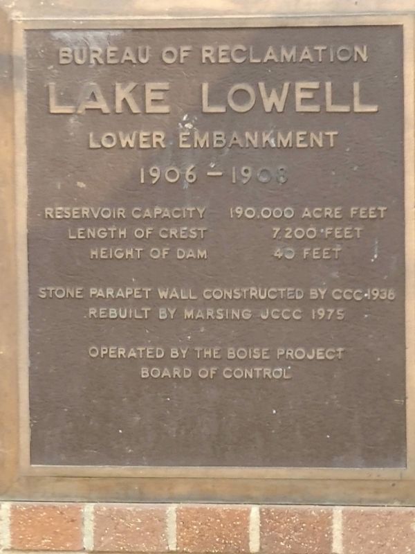
Photographed by Jeff Horan of Gustine, California, August 24, 2020
1. Lake Lowell Marker
Length of Crest 7,200 feet
Height of Dam 40 feet
Stone parapet wall constructed by CCC 1936
Rebuilt by Marsing JCCC 1975
Operated by the Boise Project
Board of Control
Topics. This historical marker is listed in this topic list: Waterways & Vessels. A significant historical year for this entry is 1906.
Location. 43° 35.266′ N, 116° 43.761′ W. Marker is in Caldwell, Idaho, in Canyon County. It is on Riverside Road, on the right when traveling north. Just west of the boat launch. Touch for map. Marker is at or near this postal address: 15013 Riverside Road, Caldwell ID 83607, United States of America. Touch for directions.

Regionally, this marker is on the Snake River Plain and in Greater Boise. It is also in the American Mountain West. Globally, it is in North America, the Western Hemisphere, the Western World, and the Anglosphere.
Other nearby markers. At least 8 other markers are within 9 miles of this marker, measured as the crow flies: Froman's Ferry (approx. 4.6 miles away); Idaho's First Heroine - Madame Marie Dorion (approx. 5.7 miles away); A.K. Steunenberg, Frank Steunenberg
this page online
Another marker is no longer nearby. The College of Idaho (was approx. 5.4 miles away but has been confirmed missing).
Credits. This page was last revised on January 4, 2023. It was originally submitted on April 14, 2022, by Joseph Alvarado of Livermore, California. This page has been viewed 459 times since then and 30 times this year. Photo 1. submitted on April 14, 2022, by Joseph Alvarado of Livermore, California. • Syd Whittle was the editor who published this page.
Editor’s want-list for this marker. Wide area view of the marker and its surroundings. • Can you help?
