Yorba Linda in Orange County, California — The American West (Pacific Coastal)
Yorba Linda
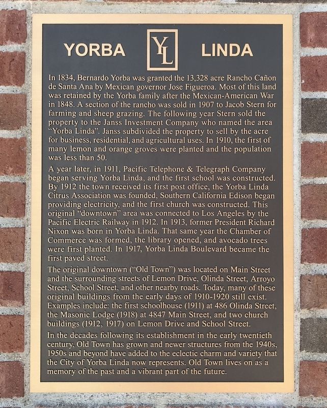
A year later, in 1911, Pacific Telephone & Telegraph Company began serving Yorba Linda, and the first school was constructed. By 1912 the town received its first post office, the Yorba Linda Citrus Association was founded, Southern California Edison began providing electricity, and the first church was constructed. This original "downtown” area was connected to Los Angeles by the Pacific Electric Railway in 1912. In 1913, former President Richard Nixon was born in Yorba Linda. That same year the Chamber of Commerce was formed, the library opened, and avocado trees were first planted. In 1917, Yorba Linda Boulevard became the first paved street.
The original downtown ("Old Town") was located on Main Street and the surrounding streets of Lemon Drive, Olinda Street, Arroyo Street, School Street, and other nearby roads. Today, many of these original buildings from the early days of 1910-1920 still exist. Examples include: the first schoolhouse (1911) at 486 Olinda Street, the Masonic Lodge (1918) at 4847 Main Street, and two church buildings (1912, 1917) on Lemon Drive and School Street.
In the decades following its establishment in the early twentieth century, Old Town has grown and newer structures from the 1940s, 1950s and beyond have added to the eclectic charm and variety that the City of Yorba Linda now represents. Old Town lives on as a memory of the past and a vibrant part of the future.
Topics. This historical marker is listed in these topic lists: Railroads & Streetcars • Roads & Vehicles • Settlements & Settlers • War, Mexican-American. A significant historical year for this entry is 1834.
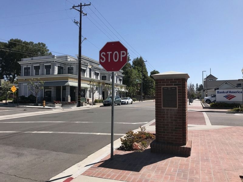
Location. 33° 53.483′ N, 117° 48.846′ W. Marker is in Yorba Linda, California, in Orange County. Marker is at the intersection of Lemon Drive and Main Street, on the right when traveling east on Lemon Drive. Touch for map. Marker is in this post office area: Yorba Linda CA 92885, United States of America. Touch for directions.
Other nearby markers. At least 8 other markers are within 3 miles of this marker, measured as the crow flies. Pacific Electric Depot (approx. 0.2 miles away); Richard Nixon (approx. ¼ mile away); Richard Nixon — A California Native Son
(approx. ¼ mile away); Richard Nixon Birthplace (approx. 0.3 miles away); Birthplace of Richard Milhous Nixon (approx. 0.3 miles away); Space Shuttle Accident (approx. 0.9 miles away); Roland E. Bigonger (approx. 1.7 miles away); Olinda (approx. 2.3 miles away). Touch for a list and map of all markers in Yorba Linda.
Credits. This page was last revised on May 16, 2022. It was originally submitted on April 15, 2022, by Adam Margolis of Mission Viejo, California. This page has been viewed 254 times since then and 29 times this year. Photos: 1, 2. submitted on April 15, 2022, by Adam Margolis of Mission Viejo, California. • Syd Whittle was the editor who published this page.
Editor’s want-list for this marker. Photos of the first schoolhouse, Masonic Lodge, and church buildings mentioned in the marker text. • Can you help?

