El Dorado/ Oates Prarie in Houston in Harris County, Texas — The American South (West South Central)
Harris County Cemetery and the Home for the Aged
Inscription.
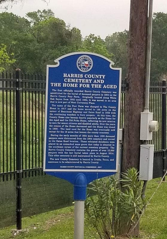
The first officially recorded Harris County Cemetery was established for the burial of deceased paupers in 1904 on the Harris County Poor Farm. Originally located along White Oak Bayou from 1882 until 1894. It was moved to an area that is now part of West University Place.
The name of the Poor Farm was changed to The County Home in 1917 and the home moved to 100 acres on the corner of Beaumont Highway and Oates Road in 1922 with the continuing mandate to bury paupers. At this time, the County Home also became known popularly as the Home for the Aged and the Old Folks Home, reflecting its new mission to care for senior citizens and disabled adults. Over the years the census of the Home decreased and the Home was closed in 1959. The land used for the Home was eventually sold except for the 18 acres that houses the county cemetery.
During the early months of 1924 more than 1000 deceased paupers were disinterred from the 1904 cemetery and moved to the Oates Road location. These relocated decedents were placed in an unmarked mass grave that today is situated in the southeast corner of the current cemetery property. The Harris County Cemetery contains the graves of over 15,000 paupers with the last burial taken place in August 2014. This older cemetery is still maintained by Harris County.
The new County Cemetery is located in Crosby, Texas, and continues to be administered by Harris County.
Erected 2017 by Harris County Historical Commission.
Topics. This historical marker is listed in this topic list: Cemeteries & Burial Sites. A significant historical month for this entry is August 2014.
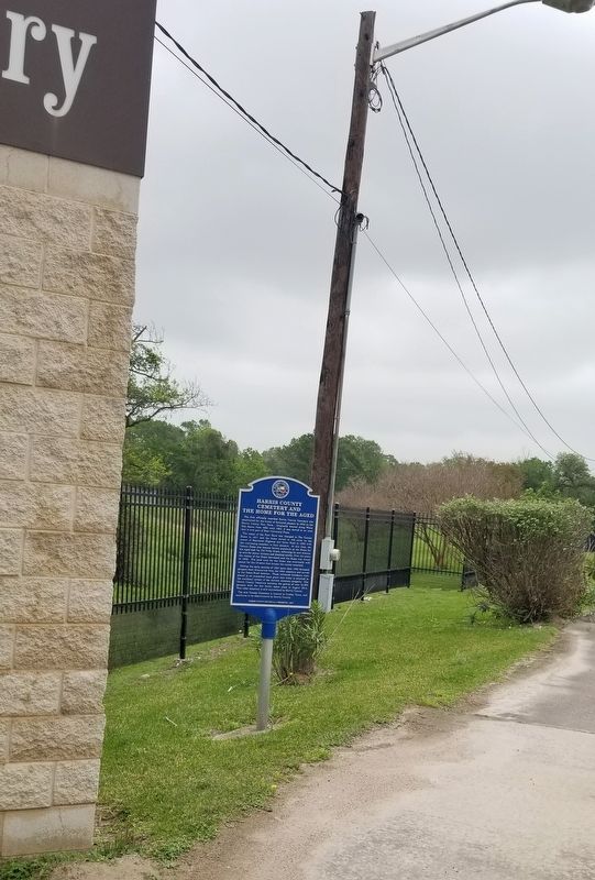
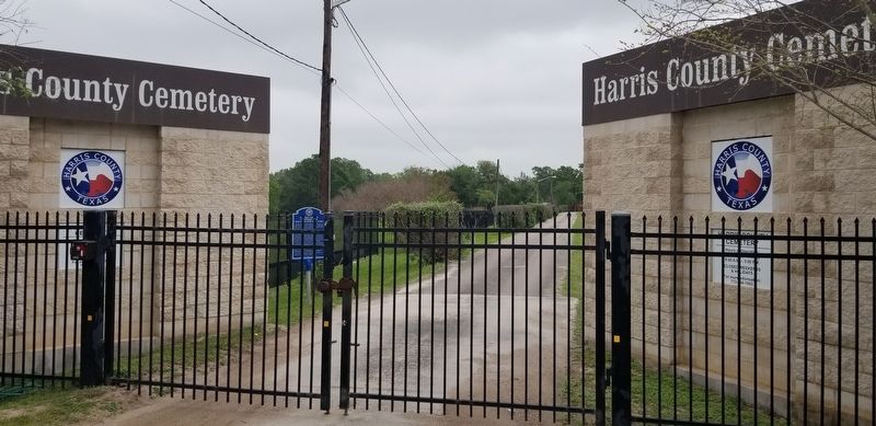
Location. 29° 48.983′ N, 95° 14.422′ W. Marker is in Houston, Texas, in Harris County. It is in El Dorado/ Oates Prarie. Marker is on Oates Road, 0.2 miles south of Beaumont Highway (Business U.S. 90), on the left when traveling south. The marker is located at the entrance to the Harris County Cemetery behind the entrance gate. The Cemetery is opened only on Tuesdays and Thursdays. Touch for map. Marker is at or near this postal address: 5434 Oates Road, Houston TX 77013, United States of America. Touch for directions.
Other nearby markers. At least 8 other markers are within 7 miles of this marker, measured as the crow flies. Pleasantville (approx. 4.1 miles away); Mount Pleasant Baptist Church (approx. 5˝ miles away); Phillis Wheatley High School (approx. 5.7 miles away); First Shilo Missionary Baptist Church (approx. 5.8 miles away); Hidalgo Park Quiosco (approx. 5.9 miles away); Peacock Records (approx. 6 miles away); Zydeco Music in Frenchtown (approx. 6.1 miles away); Magnolia Park (approx. 6.1 miles away). Touch for a list and map of all markers in Houston.
Also see . . . Poorhouse.
In the United States, poorhouses were most common during the 19th and early 20th centuries. They were often situated on the grounds of a poor farm on which able-bodied residents were required to work. A poorhouse could even be part of the same economic complex as a prison farm and other penal or charitable public institutions. Poor farms were county- or town-run residences where paupers (mainly elderly and disabled people) were supported at public expense. They were generally under the direction of one or more elected or appointed "Superintendent[s] of the Poor." Source: Wikipedia(Submitted on April 16, 2022, by James Hulse of Medina, Texas.)
Credits. This page was last revised on February 1, 2023. It was originally submitted on April 16, 2022, by James Hulse of Medina, Texas. This page has been viewed 844 times since then and 147 times this year. Photos: 1, 2. submitted on April 16, 2022, by James Hulse of Medina, Texas. 3. submitted on April 17, 2022, by James Hulse of Medina, Texas.


