Indian Head in Charles County, Maryland — The American Northeast (Mid-Atlantic)
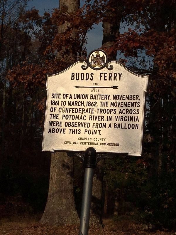
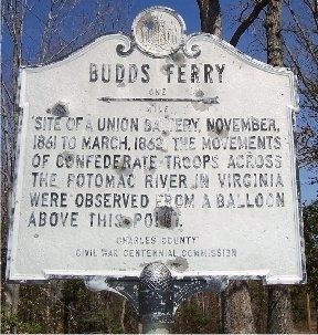
Budds Ferry
← One mile
Site of a Union Battery, November, 1861 to March 1862. The movements of Confederate troops across the Potomac River in Virginia were observed from a balloon above this point.
Erected by Charles County Civil War Centennial Commission.
Topics. This historical marker is listed in this topic list: War, US Civil. A significant historical month for this entry is March 1862.
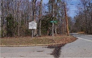
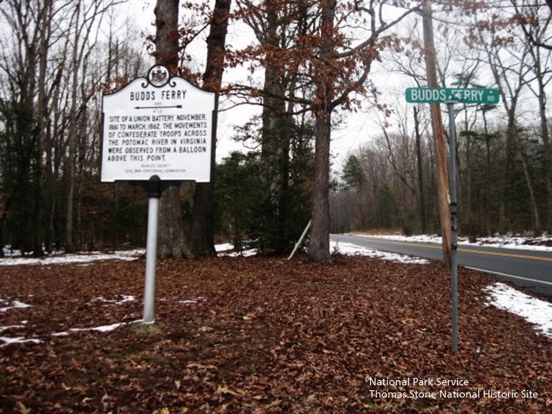
Location. 38° 30.544′ N, 77° 14.822′ W. Marker is in Indian Head, Maryland, in Charles County. Marker is at the intersection of Riverside Road (Maryland Route 224) and Budd's Ferry Place, on the left when traveling north on Riverside Road. Touch for map. Marker is in this post office area: La Plata MD 20646, United States of America. Touch for directions.
Other nearby markers. At least 8 other markers are within 3 miles of this marker, measured as the crow flies. General Daniel E. Sickles, U.S.A. (approx. 1.6 miles away); General Joseph Hooker U.S.A. (approx. 2.2 miles away); Molly Marine (approx. 2.6 miles away in Virginia); H-3-7 Korea 1950 (approx. 2.6 miles away in Virginia); Acquisition of Quantico Marine Reservation (approx. 2.7 miles away in Virginia); Jordan Hall (approx. 2.7 miles away in Virginia); Waller Hill (approx. 2.8 miles away in Virginia); Mann Hall (approx. 2.8 miles away in Virginia).
Credits. This page was last revised on January 7, 2024. It was originally submitted on March 15, 2008, by M. A. Pimentel of Waldorf, Maryland. This page has been viewed 3,300 times since then and 126 times this year. Last updated on June 2, 2009, by Kathleen Black of Woodbridge, Virginia. Photos: 1. submitted on December 19, 2016, by Richard White of La Plata, Maryland. 2, 3. submitted on March 15, 2008, by M. A. Pimentel of Waldorf, Maryland. 4. submitted on August 5, 2019. 5. submitted on January 7, 2024, by Larry Gertner of New York, New York. • Kevin W. was the editor who published this page.


