Near Burkittsville in Frederick County, Maryland — The American Northeast (Mid-Atlantic)
1862 Antietam Campaign
Lee Invades Maryland
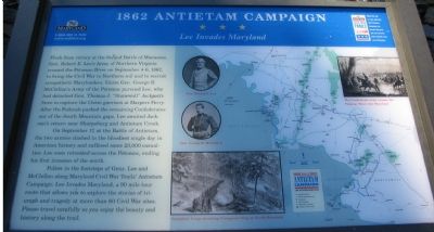
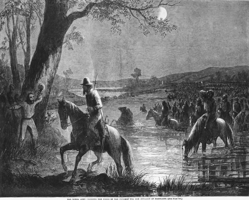
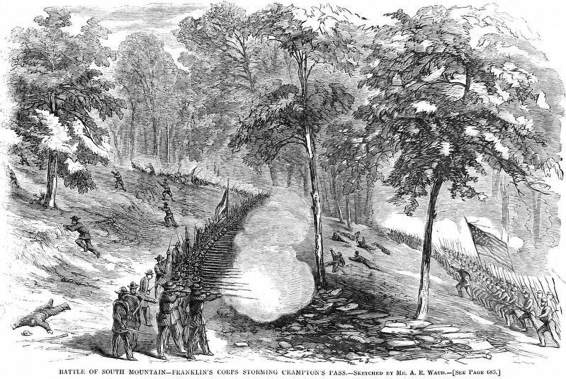
Fresh from victory at the Second Battle of Manassas, Gen. Robert E. Lee’s Army of Northern Virginia crossed the Potomac River on September 4-6, 1862, to bring the Civil War to Northern soil and to recruit sympathetic Marylanders. Union Gen. George B. McClellan’s Army of the Potomac pursued Lee, who had detached Gen. Thomas J. “Stonewall” Jackson’s force to capture the Union garrison at Harpers Ferry. After the Federals pushed the remaining Confederates out of the South Mountain gaps, Lee awaited Jackson's return near Sharpsburg and Antietam Creek.
On September 17, at the battle of Antietam, the two armies clashed in the bloodiest single day in American history and suffered some 23,000 casualties. Lee soon retreated across the Potomac, ending his first invasion of the north.
Follow in the footsteps of Gens. Lee and McClellan along Maryland Civil War Trail’s Antietam Campaign: Lee Invades Maryland, a 90 mile tour route that allows you to explore the stories of triumph and tragedy at more than 60 Civil War sites. Please travel carefully as you enjoy the beauty and history along the trail.
Erected by Maryland Civil War Trails.
Topics and series. This historical marker is listed in this topic list: War, US Civil. In addition, it is included in the Maryland Civil War Trails series list. A significant historical month for this entry is September 1755.
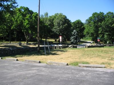
Location. 39° 24.354′ N, 77° 38.369′ W. Marker is near Burkittsville, Maryland, in Frederick County. Marker is at the intersection of Gapland Road and Arnoldstown Road, on the right when traveling west on Gapland Road. On the grounds of Gathland State Park. Touch for map. Marker is in this post office area: Burkittsville MD 21718, United States of America. Touch for directions.
Other nearby markers. At least 8 other markers are within walking distance of this marker. George Alfred Townsend (here, next to this marker); Battle for Crampton’s Gap (here, next to this marker); War Correspondents Memorial Arch (a few steps from this marker); First New Jersey Brigade (within shouting distance of this marker); War Correspondents (within shouting distance of this marker); Crampton’s Pass Tablet C.P. 1 (within shouting distance of this marker); Maj. Gen. Lafayette McLaws' Command (within shouting distance of this marker); Crampton’s Pass Tablet C.P. 3 (within shouting distance of this marker). Touch for a list and map of all markers in Burkittsville.
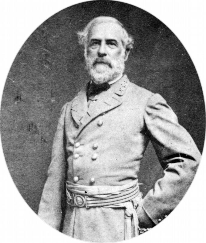
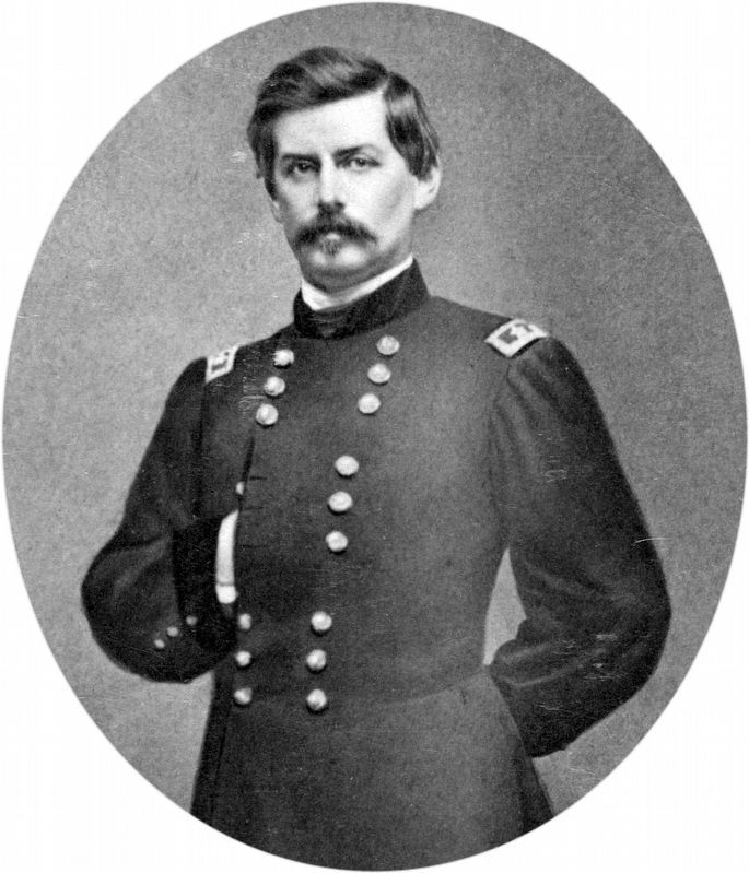
More about this marker. The marker displays pictures of Gens. Lee and McClellan, newspaper drawing of Confederates crossing the Potomac, a drawing of Franklin’s Corps at Compton’s Gap, and a strategic map showing the trail stops.
Regarding 1862 Antietam Campaign. This marker is one of the standard set used to orient travelers to the Antietam Campaign.
Related markers. Click here for a list of markers that are related to this marker. Markers related to the Battle of Crampton's Gap
Also see . . . 1862 Antietam Campaign - Lee Invades Maryland. Civil War Trails PDF (Submitted on June 9, 2022, by Larry Gertner of New York, New York.)
Credits. This page was last revised on June 9, 2022. It was originally submitted on August 1, 2007, by Craig Swain of Leesburg, Virginia. This page has been viewed 2,111 times since then and 24 times this year. Photos: 1, 2. submitted on August 1, 2007, by Craig Swain of Leesburg, Virginia. 3. submitted on August 9, 2015, by Brandon Fletcher of Chattanooga, Tennessee. 4, 5. submitted on August 30, 2018, by Allen C. Browne of Silver Spring, Maryland. 6, 7. submitted on August 28, 2018, by Allen C. Browne of Silver Spring, Maryland. 8. submitted on August 1, 2007, by Craig Swain of Leesburg, Virginia. • J. J. Prats was the editor who published this page.
