San Juan Bautista in San Benito County, California — The American West (Pacific Coastal)
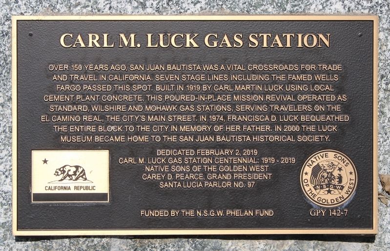
Carl M. Luck Gas Station
Erected 2019 by Native Sons of the Golden West. (Marker Number GPY 142-7.)
Topics and series. This historical marker is listed in these topic lists: Architecture • Industry & Commerce • Roads & Vehicles. In addition, it is included in the Native Sons/Daughters of the Golden West series list. A significant historical year for this entry is 1919.
Location. 36° 50.848′ N, 121° 32.454′ W. Marker is in San Juan Bautista, California, in San Benito County. Marker is at the intersection of Monterey Street and Third Street, on the right when traveling north on Monterey Street. Touch for map. Marker is in this post office area: San Juan Bautista CA 95045, United States of America. Touch for directions.
Other nearby markers. At least 8 other markers are within walking distance of this marker . Jim Jack’s Cabin (a few steps from this marker); Marentis House (about 600 feet away, measured in a direct line); Fremont Peak (approx. 0.2 miles away); Safety Follows Wisdom (approx. 0.2 miles away); Old School House (approx. ¼ mile away); Campo Santo (approx. ¼ mile away); City of San Juan Bautista (approx. ¼ mile away); De Anza Expedition 1775 – 1776 (approx. ¼ mile away). Touch for a list and map of all markers in San Juan Bautista.
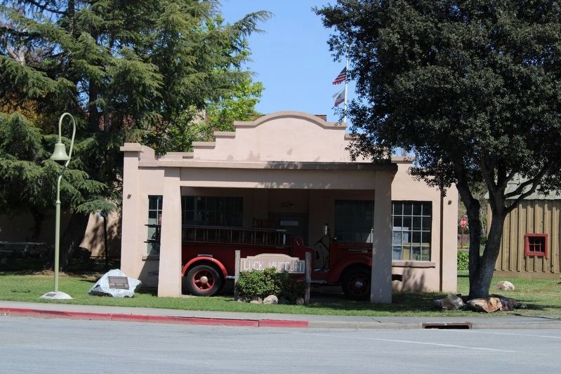
More about this marker. The plaque is mounted to a boulder to the left of the building.
Credits. This page was last revised on May 16, 2022. It was originally submitted on April 17, 2022, by Joseph Alvarado of Livermore, California. This page has been viewed 133 times since then and 22 times this year. Photos: 1, 2. submitted on April 17, 2022, by Joseph Alvarado of Livermore, California. • Syd Whittle was the editor who published this page.

