Lincoln in Providence County, Rhode Island — The American Northeast (New England)
Kelly’s Mill
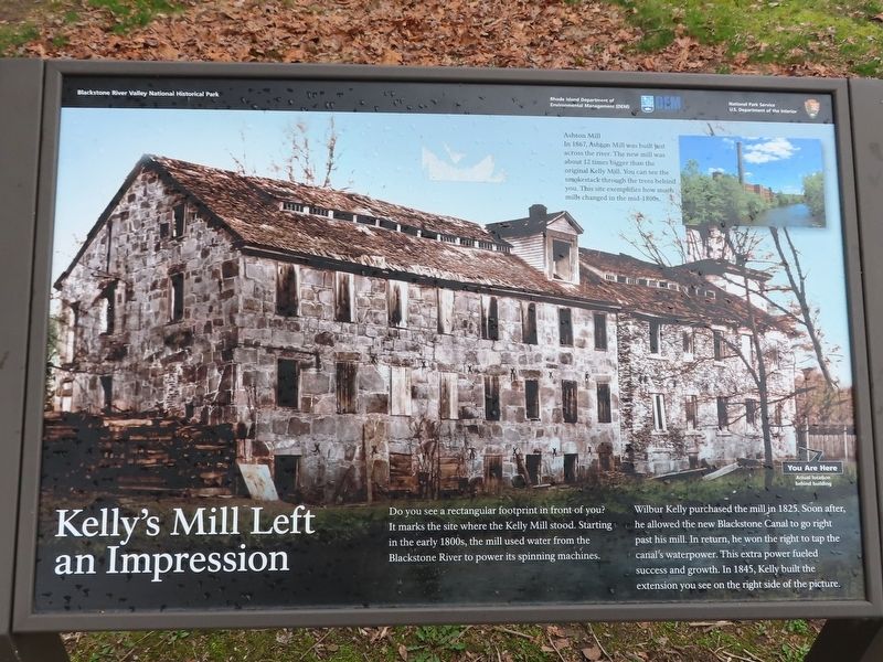
Kelly’s Mill Left An Impression
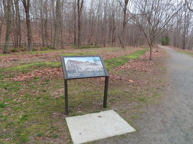
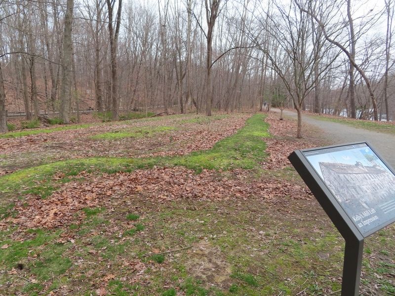
Do you see a rectangular footprint in front of you? It marks the site where the Kelly Mill stood. Starting in the early 1800s, the mill used water from the Blackstone River to power its spinning machines.
Wilbur Kelly purchased the mill in 1825. Soon after, he allowed the new Blackstone Canal to go right past his mill. In return, he won the right to tap the canal’s waterpower. This extra power fueled success and growth. In 1845, Kelly built the extension you see on the right side of the picture.
( photo caption )
— Ashton Mill In 1867 Ashton Mill was built just across the river. The new mill was about 12 times bigger than the original Kelly Mill. You can see the smokestack through the trees behind you. This site exemplifies how much mills changed in the mid-1800s.
Topics. This historical marker is listed in these topic lists: Industry & Commerce • Waterways & Vessels. A significant historical year for this entry is 1825.
Location. 41° 56.279′ N, 71° 26.073′ W. Marker is in Lincoln, Rhode Island, in Providence County. Marker can be reached from Cullen Hill Road, 0.7 miles north of Martin Street, on the left when traveling east. Located in Blackstone River Valley National Historical Park. Under the George Washington Hwy bridge over the river. Touch for map. Marker is at or near this postal address: 1075 Lower River Road, Lincoln RI 02865, United States of America. Touch for directions.
Other nearby markers. At least 8 other markers are within 4 miles of this marker, measured as the crow flies. Captain Wilbur Kelly (about 300 feet away, measured in a direct line); Nine Men’s Misery (approx. 1.4 miles away); Monastery Bell (approx. 1.6 miles away); Splendid Mansion of Eleazer Arnold (approx. 2˝ miles away); In Memory of Our Townsmen (approx. 2.7 miles away); World War I Memorial (approx. 2.7 miles away); South Attleboro Memorial Wall (approx. 4 miles away in Massachusetts); Pierce Park and Riverwalk (approx. 4 miles away). Touch for a list and map of all markers in Lincoln.
Credits. This page was last revised on April 19, 2022. It was originally submitted on April 19, 2022, by Michael Herrick of Southbury, Connecticut. This page has been viewed 164 times since then and 19 times this year. Photos: 1, 2, 3. submitted on April 19, 2022, by Michael Herrick of Southbury, Connecticut.


