
Near Basking Ridge in Somerset County, New Jersey — The American Northeast (Mid-Atlantic)
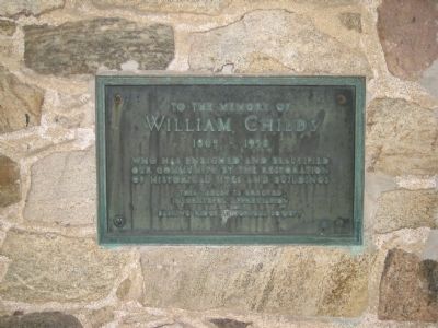
William Childs
To The Memory of
| — | 1865 - 1938 | — |
Photographed by Alan Edelson, June 3, 2009
1. William Childs Marker
Erected by Basking Ridge Historical Society.
Topics. This historical marker is listed in these topic lists: Colonial Era • Industry & Commerce.
Location. 40° 43.948′ N, 74° 32.501′ W. Marker is near Basking Ridge, New Jersey, in Somerset County. It is on Childs Road, on the right when traveling north. Plaque is placed on Van Dorn Mill. Touch for map. Marker is in this post office area: Basking Ridge NJ 07920, United States of America. Touch for directions.

Regionally, this marker is in Greater Princeton and in the New York City Metropolitan Area. It is also in the American Northeast, in the Mid-Atlantic, and on the Eastern Seaboard. Globally, it is in the North Atlantic Region, North America, the Western Hemisphere, the Western World, and the Anglosphere. Historically, it finds itself in what was once New Netherland and also one of the original Thirteen Colonies.
this page online
Other nearby markers. At least 8 other markers are within 2 miles of this marker, measured as the crow flies: “George” 2001 (about 500 feet away, measured in a direct line); Primrose Farm (approx. 0.6 miles away); Madisonville (approx. 0.9 miles away); Washington’s Route from Princeton to Morristown (approx. 0.9 miles away); New Jersey 7th Brigade (approx. 1.1 miles away); Boudinot - Southard Farmstead (approx. 1.2 miles away); Richard J. Guadagno (approx. 1.2 miles away); RHIP (approx. 1.3 miles away). Touch for a list and map of all markers in Basking Ridge.
Photographed by Alan Edelson, June 3, 2009
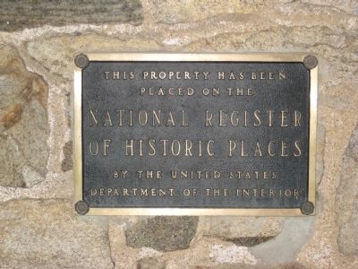
2. Van Dorn Mill National Register Plaque
Photographed by Alan Edelson, June 3, 2009
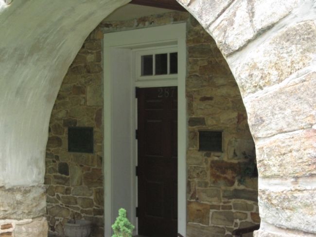
3. William Childs Marker & National Register Plaque
Photographed by Alan Edelson, June 3, 2009
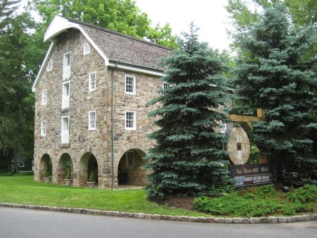
4. Van Dorn Mill
Credits. This page was last revised on November 25, 2019. It was originally submitted on June 3, 2009, by Alan Edelson of Union Twsp., New Jersey. This page has been viewed 1,647 times since then and 26 times this year. Photos: 1, 2, 3, 4. submitted on June 3, 2009, by Alan Edelson of Union Twsp., New Jersey. • Bill Pfingsten was the editor who published this page.
