
Lee Hall in Newport News, Virginia — The American South (Mid-Atlantic)
Stanley Hundred
A New Settlement
Photographed by Bill Coughlin, August 11, 2008
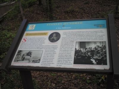
1. Stanley Hundred Marker
Sir George Yeardley served as governor and captain general of Virginia from 1619 to 1621 and from 1626 to 1627. He had arrived in Virginia aboard the Deliverance from Bermuda in 1610. Yeardley later commanded Forts Charles and Henry before governing the Bermuda Hundred settlement. He also established a plantation at Flowerdew Hundred, then in 1619 returned to England, where he received a knighthood and his commission as governor from King James I. On his return to Virginia, Governor Yeardley called the first legislative assembly in American history at Jamestown. After his term expired, he served as a councilor and led reprisals against the Powhatan Indians after they attacked the colony in 1622. When Governor Sir Francis Wyatt left for England in 1626, Yeardley assumed leadership
this page online
Yeardley gave the new settlement he established here the name Stanley Hundred in honor of his wife’s family. The term "hundred" was an English feudal term for a division of land supporting 100 persons, usually 100 acres. The settlers, with an abundance of land and a smaller population, used the term more as a colloquialism. Yeardley wanted a town established on his plantation, but his death in 1627 ended the enterprise. There were sufficient inhabitants, however, to warrant the construction of a church. Yeardley’s widow, Lady Temperance Flowerdew, sold Stanley Hundred to Captain Thomas Flint in 1628. By the 1660s, the Cary family had acquired the tract.
(captions)
Artist’s conception of Jamestown church in which First Assembly met in 1619. - Courtesy Jamestown Foundation.
Governor Sir Francis Wyatt
America’s first representative assembly meeting in the church at Jamestown, 1619. - Courtesy Library of Virginia
Erected 2007 by Newport News Founders’ Trail.
Topics. This historical marker is listed in this
Photographed by Bill Coughlin, August 11, 2008
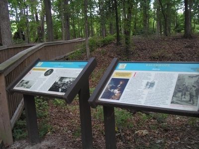
2. Newport News Founders’ Trail Markers
Location. 37° 10.66′ N, 76° 34.548′ W. Marker is in Newport News, Virginia. It is in Lee Hall. It can be reached from Enterprise Drive 0.4 miles west of Warwick Boulevard (U.S. 60), on the left when traveling west. Located in Skiffes Creek Historic Park. Touch for map. Marker is at or near this postal address: 266 Enterprise Drive, Newport News VA 23603, United States of America. Touch for directions.

Regionally, this marker is on Virginia’s Peninsula, in Hampton Roads, in Coastal Virginia, and in the Hampton Roads Metropolitan Area. It is also in the American South, specifically in the Upper South, in the Tidewater, and on the Eastern Seaboard. Globally, it is in the North Atlantic Region, North America, the Western Hemisphere, the Western World, and the Anglosphere. Historically, it finds itself in what was once the territory of the Mississippian Culture, one of the original Thirteen Colonies, one of the Confederate States of America, and the Antebellum South.
Other nearby markers. At least 8 other markers are within walking distance of this
Photographed by Bill Coughlin, August 11, 2008
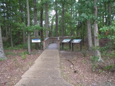
3. Markers in Skiffes Creek Historic Park
Several markers are located in Skiffes Creek Historic Park, including two Newport News Founders’ Trail markers. The Stanley Hundred marker is the one in the middle.
Photographed by Bill Coughlin, August 11, 2008
4. Skiffes Creek Historic Park
Marker is located in Skiffes Creek Historic Park, site of a Civil War fortification.
Credits. This page was last revised on February 1, 2023. It was originally submitted on November 29, 2008, by Bill Coughlin of Woodland Park, New Jersey. This page has been viewed 4,375 times since then and 77 times this year. Last updated on April 21, 2022, by James Dean of Chesterfield, Virginia. Photos: 1, 2, 3, 4. submitted on November 29, 2008, by Bill Coughlin of Woodland Park, New Jersey. • Bernard Fisher was the editor who published this page.
