Lee Hall in Newport News, Virginia — The American South (Mid-Atlantic)
Balthrope
Boldrup
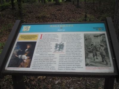
In 1626, William Claiborne patented 500 acres along the Warwick River above Denbign. Captain Samuel Stevens acquired the estate, called Balthrope or Boldrup, in 1631. Stevens married Frances Culpeper who inherited the estate upon his death. Governor Sir William Berkeley married the wealthy widow and sold the 1,350-acre plantation to his close advisor Colonel William Cole in 1671.
William Cole (1638-1694) served as an attorney in Warwick County and commanded the countyís militia. He was a member of the Council of the State from 1674 until 1692. During Baconís Rebellion, Cole negotiated unsuccessfully with Nathaniel Bacon to end the conflict and later fled with Governor Berkley to the Eastern Shore. After Baconís death, Cole resumed his political career, serving as the colonial secretary of state from 1689 to 1692 and as a trustee for the College of William and Mary. He also acquired more land in York County, Elizabeth City County, and Warwick County. Cole left his heirs more than 3,600 acres of land and a rich political legacy. His son, Colonel William Cole (1692-1729), inherited Balthrope and served as a member of the House of Burgesses as well as a Warwick County justice, sheriff, and militia commander. The manor house remained in Cole family ownership until 1766. The Boldrup Plantation Archaeological Site is listed in the Virginia Landmarks Register and the National Register of Historic Places.
(captions)
Governor Sir William Berkley
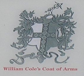
William Coleís Coat of Arms
Nathaniel Bacon (right) def[ying] Governor Berkeley during Baconís Rebellion, 1676. - Courtesy Central Office of Information, London
Erected 2007 by Newport News Foundersí Trail.
Topics. This historical marker is listed in this topic list: Colonial Era.
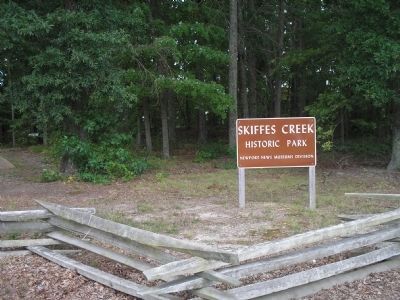
Location. 37° 10.657′ N, 76° 34.55′ W. Marker is in Newport News, Virginia. It is in Lee Hall. Marker can be reached from Enterprise Drive, 0.4 miles west of Warwick Boulevard, on the left when traveling west. Located in Skiffes Creek Historic Park. Touch for map. Marker is at or near this postal address: 266 Enterprise Drive, Newport News VA 23603, United States of America. Touch for directions.
Other nearby markers. At least 8 other markers are within walking distance of this marker. Stanley Hundred (here, next to this marker); Skiffes Creek (a few steps from this marker); Mulberry Point (approx. 0.4 miles away); Fort Eustis (approx. 0.4 miles away); General Abraham Eustis (approx. half a mile away); a different marker also named Fort Eustis (approx. half a mile away); 0-6-0T Side-Tank Switcher (approx. ĺ mile away); Railroad Maintenance Cars (approx. ĺ mile away). Touch for a list and map of all markers in Newport News.
Credits. This page was last revised on February 1, 2023. It was originally submitted on November 29, 2008, by Bill Coughlin of Woodland Park, New Jersey. This page has been viewed 3,387 times since then and 72 times this year. Last updated on April 22, 2022, by James Dean of Chesterfield, Virginia. Photos: 1, 2, 3, 4, 5. submitted on November 29, 2008, by Bill Coughlin of Woodland Park, New Jersey. • Bernard Fisher was the editor who published this page.
