Annandale in Hunterdon County, New Jersey — The American Northeast (Mid-Atlantic)
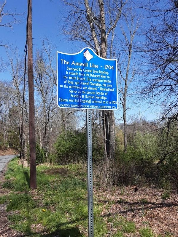
The Amwell Line - 1704
Surveyed by Colonel John Reading. It extends from the Delaware River to the South Branch. The northern border of long ago Amwell Township, the area to the northwest was deemed "Uninhabited". Serves as the present border of Franklin & Raritan Townships. Queen Ann (of England) referred to it in 1708.
Erected 2021 by Raritan Township Local Historical Committee.
Topics. This historical marker is listed in this topic list: Colonial Era. A significant historical year for this entry is 1704.
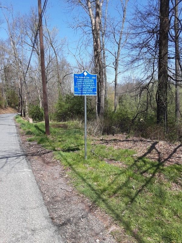
Location. 40° 34.413′ N, 74° 52.909′ W. Marker is in Annandale, New Jersey, in Hunterdon County. Marker is on Hamden Road north of Old Clinton Road, on the right when traveling north. Touch for map. Marker is in this post office area: Annandale NJ 08801, United States of America. Touch for directions.
Other nearby markers. At least 8 other markers are within 2 miles of this marker, measured as the crow flies. Pre-Revolutionary War King's Mill (approx. 0.4 miles away); Clinton Township 9-11 Memorial (approx. 0.4 miles away); Echo Hill (approx. 0.9 miles away); Newell Cemetery (approx. 1.3 miles away); Rowland's Mill (approx. 1.3 miles away); Cherryville (approx. 1.4 miles away); Smokehouse (approx. 1.6 miles away); Capt. Jacob Gearhart (approx. 1.7 miles away).
Credits. This page was last revised on April 25, 2022. It was originally submitted on April 22, 2022, by Alan Edelson of Union Twsp., New Jersey. This page has been viewed 145 times since then and 26 times this year. Photos: 1, 2. submitted on April 22, 2022, by Alan Edelson of Union Twsp., New Jersey. • Michael Herrick was the editor who published this page.

