Pleasanton in Alameda County, California — The American West (Pacific Coastal)
Meadowlark Dairy - Historic Orchard
Photographed by Joseph Alvarado, April 22, 2022
1. Meadowlark Dairy Historic Orchard Marker
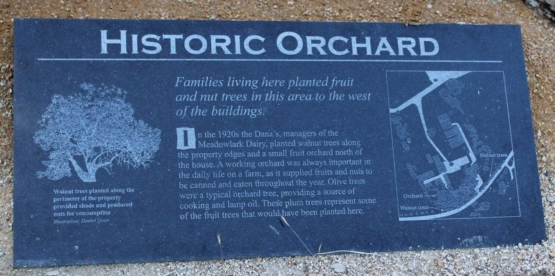
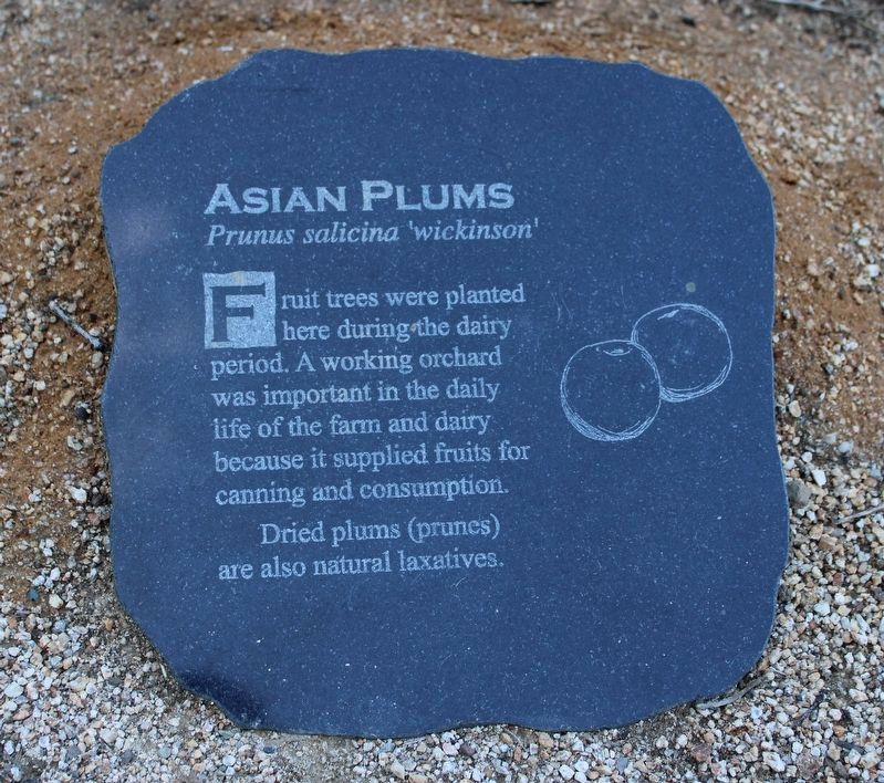
In the 1920s the Dana's, managers of the Meadowlark Dairy, planted walnut trees along the property edges and a small fruit orchard north of the house. A working orchard was always important in the daily life on a farm, as it supplied fruits and nuts to be canned and eaten throughout the year. Olive trees were a typical orchard tree, providing a source of cooking and lamp oil. These plum trees represent some of the fruit trees that would have been planted here.
Walnut trees planted along the perimeter of the property provided shade and produced nuts for consumption.
Topics. This historical marker is listed in these topic lists: Agriculture • Settlements & Settlers.
Location. 37° 39.674′ N, 121° 54.806′ W. Marker is in Pleasanton, California, in Alameda County. It can be reached from Old Foothill Road. The marker is behind the dairy bunkhouse. Touch for map. Marker is at or near this postal address: 3465 Old Foothill Road, Pleasanton CA 94588, United States of America. Touch for directions.

Regionally,
this page online
Other nearby markers. At least 8 other markers are within 2 miles of this marker, measured as the crow flies: Meadowlark Dairy – Dairy Bunkhouse (a few steps from this marker); Meadowlark Dairy – Dairy Manager’s House (within shouting distance of this marker); Changing Landscape (within shouting distance of this marker); Meadowlark Dairy (within shouting distance of this marker); Meadowlark Dairy - The Dairy Silo (about 300 feet away, measured in a direct line); Alviso Adobe (about 400 feet away); Alviso Adobe Community Park (about 600 feet away); The Heritage House (approx. 1.6 miles away). Touch for a list and map of all markers in Pleasanton.
Another marker is no longer nearby. Francisco Solano Alviso Adobe (was about 400 feet away but has been confirmed missing).

Photographed by Joseph Alvarado, April 22, 2022
2. Historic Orchard
Photographed by Joseph Alvarado, April 22, 2022
3. Next to the Marker
Photographed by Joseph Alvarado, April 22, 2022
4. Next to the orchard

Photographed by Joseph Alvarado, April 22, 2022
5. Front view
Photographed by Joseph Alvarado, April 22, 2022
6. Plaque
Credits. This page was last revised on May 26, 2025. It was originally submitted on April 23, 2022, by Joseph Alvarado of Livermore, California. This page has been viewed 313 times since then and 21 times this year. Photos: 1, 2, 3, 4, 5, 6. submitted on April 23, 2022, by Joseph Alvarado of Livermore, California. • Syd Whittle was the editor who published this page.
