Smyrna in Cobb County, Georgia — The American South (South Atlantic)
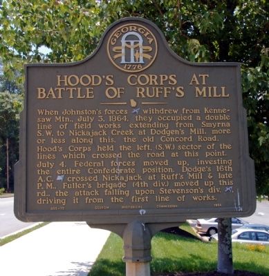
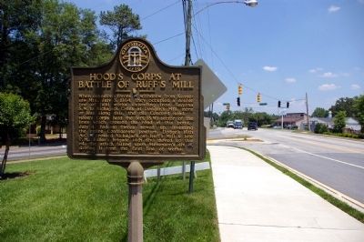
Hood's Corps at Battle of Ruff's Mill
Hood’s Corps held the left, (S.W.) sector of the lines which crossed the road at this point.
July 4. Federal forces moved up, investing the entire Confederate position. Dodge’s 16th A. C. [US] crossed Nickajack at Ruff’s Mill & late P.M., Fuller’s brigade (4th div.) moved up this rd., the attack falling upon Stevenson’s div. [CS], driving it from the first line of works.
Erected 1954 by Georgia Historical Commission. (Marker Number 033-75.)
Topics and series. This historical marker is listed in this topic list: War, US Civil. In addition, it is included in the Georgia Historical Society series list. A significant historical month for this entry is July 1865.
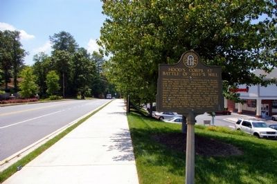
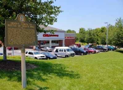
Location. 33° 52.009′ N, 84° 32.376′ W. Marker is in Smyrna, Georgia, in Cobb County. Marker is at the intersection of Concord Road SE and Hurt Road SE, on the right when traveling west on Concord Road SE. Touch for map. Marker is in this post office area: Smyrna GA 30082, United States of America. Touch for directions.
Other nearby markers. At least 8 other markers are within 2 miles of this marker, measured as the crow flies. The Alexander Eaton House: Hood’s H'dq'rs. (approx. 1.6 miles away); Battle of Ruff's Mill (approx. 1.6 miles away); Concord Covered Bridge (approx. 1.6 miles away); First Marked Burial (approx. 1.8 miles away); Smyrna’s First Mayor (approx. 1.8 miles away); Mazie Whitfield Nelson (approx. 1.8 miles away); Smyrna Memorial Cemetery (approx. 1.8 miles away); Battle of Smyrna (approx. 1.9 miles away). Touch for a list and map of all markers in Smyrna.
Credits. This page was last revised on June 16, 2016. It was originally submitted on June 4, 2009, by David Seibert of Sandy Springs, Georgia. This page has been viewed 1,613 times since then and 21 times this year. Photos: 1, 2, 3, 4. submitted on June 4, 2009, by David Seibert of Sandy Springs, Georgia. • Craig Swain was the editor who published this page.


