Near Fredericksburg in Spotsylvania County, Virginia — The American South (Mid-Atlantic)
Battle of Salem Church
Photographed by Kevin W., November 10, 2007
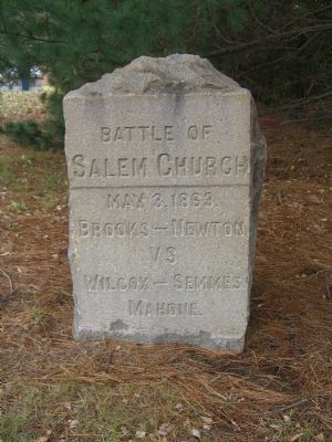
1. Battle of Salem Church Marker
Brooks – Newton
vs
Wilcox – Semmes
Mahone
Erected 1903 by Capt. James Power Smith & Mr. Thomas Fortune Ryan.
Topics. This historical marker is listed in these topic lists: Military • War, US Civil. A significant historical date for this entry is May 3, 1863.
Location. 38° 17.352′ N, 77° 31.882′ W. Marker is near Fredericksburg, Virginia, in Spotsylvania County. It is at the intersection of Salem Church Road and Plank Road (Virginia Route 3) on Salem Church Road. Touch for map. Marker is at or near this postal address: 4044 Plank Road, Fredericksburg VA 22407, United States of America. Touch for directions.

Regionally, this marker is in the Washington Metropolitan Area, in Northern Virginia, and in the Piedmont. It is also in the American South, specifically in the Upper South, in the Mid-Atlantic, and on the Eastern Seaboard. Globally, it is in the North Atlantic Region, North America, the Western Hemisphere, the Western World, and the Anglosphere. Historically, it finds itself in what was once the territory of the Mississippian Culture, one of the original Thirteen Colonies, one of the
this page online
Other nearby markers. At least 8 other markers are within walking distance of this marker: A different marker also named Battle of Salem Church (a few steps from this marker); a different marker also named The Battle of Salem Church (a few steps from this marker); From Church to Hospital (a few steps from this marker); Refuge from Horror (within shouting distance of this marker); Old Salem Church (within shouting distance of this marker); Salem Church (within shouting distance of this marker); Churchyard to Battleground (about 400 feet away, measured in a direct line); Sanctuaries in Spotsylvania (about 400 feet away). Touch for a list and map of all markers in Fredericksburg.
More about this marker. This marker is one in a series of ten that were placed on Spotsylvania area battlefields on August 6 & 7, 1903. Funded by the New York philanthropist Thomas Fortune Ryan and their locations selected placement supervised by Capt. James Power Smith (The last surviving member of Confederate Lt. Gen. Thomas "Stonewall" Jackson's staff.).
Regarding Battle of Salem Church. This
Photographed by Kevin W., November 10, 2007
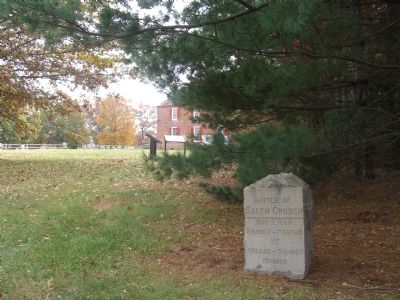
2. Battle of Salem Church Marker
Also see . . .
1. Salem Church Virtual Tour by Markers. The Salem Church site, surrounded by modern development, was an important site in the later stages of the Battle and Campaign of Chancellorsville. (Submitted on November 12, 2007, by Craig Swain of Leesburg, Virginia.)
2. Salem Church Walking Trail. National Parks Service guide. (Submitted on November 12, 2007, by Craig Swain of Leesburg, Virginia.)
Photographed by Kevin W., November 10, 2007
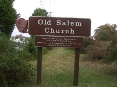
3. Old Salem Church
Marker is part of the Old Salem Church Civil War Battlefield site, at the intersection of Plank Road (VA Route 3) and Salem Church Road.
Photographed by Bradley Owen
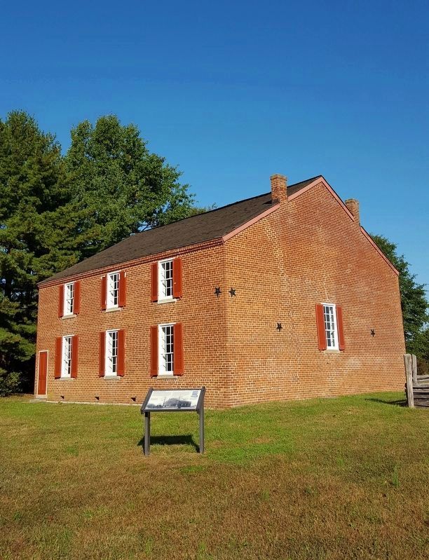
4. Salem Church
Credits. This page was last revised on February 2, 2023. It was originally submitted on November 12, 2007, by Kevin W. of Stafford, Virginia. This page has been viewed 2,033 times since then and 70 times this year. Last updated on April 23, 2022, by Anonymous of Fredericksburg, Virginia. Photos: 1, 2, 3. submitted on November 12, 2007, by Kevin W. of Stafford, Virginia. 4. submitted on May 16, 2022, by Bradley Owen of Morgantown, West Virginia. • Bernard Fisher was the editor who published this page.
