Spencerville in Allen County, Ohio — The American Midwest (Great Lakes)
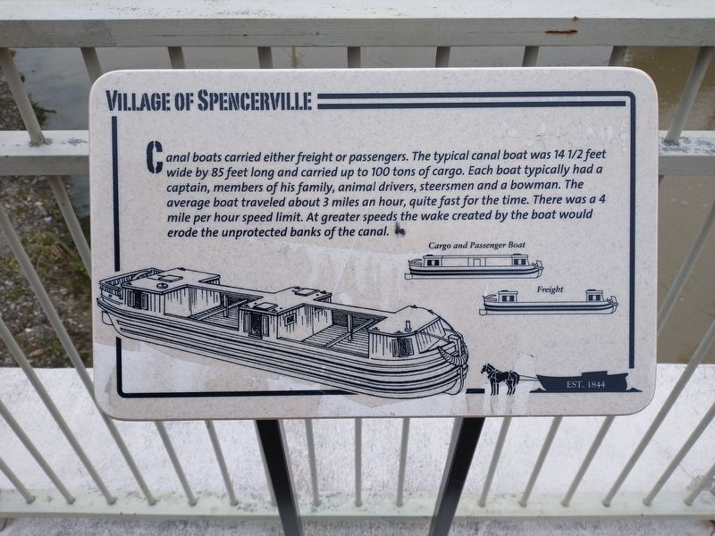
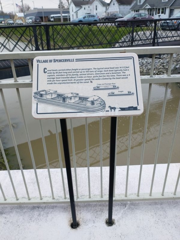
Village of Spencerville
Est. 1844
Topics and series. This historical marker is listed in these topic lists: Industry & Commerce • Waterways & Vessels. In addition, it is included in the The Miami & Erie Canal series list. A significant historical year for this entry is 1844.
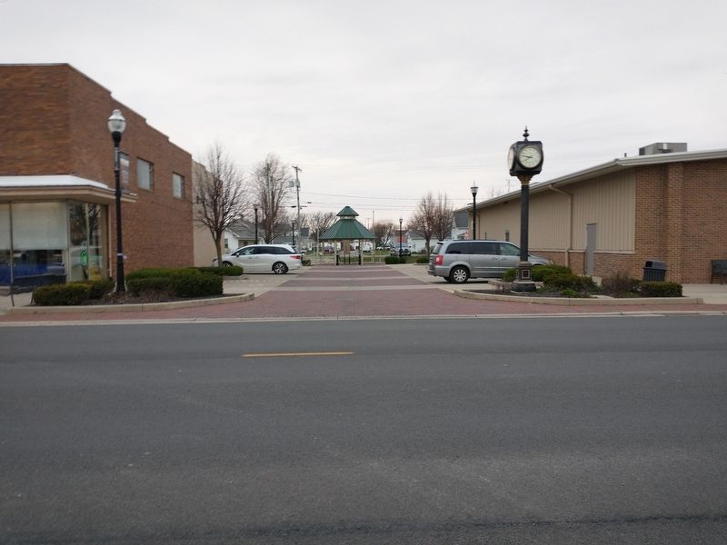
Location. 40° 42.464′ N, 84° 21.28′ W. Marker is in Spencerville, Ohio, in Allen County. Marker is at the intersection of South Broadway Street (Ohio Route 66) and East 3rd Street, on the right when traveling south on South Broadway Street. Touch for map. Marker is at or near this postal address: 103 N Broadway St, Spencerville OH 45887, United States of America. Touch for directions.
Other nearby markers. At least 8 other markers are within walking distance of this marker. A different marker also named Village of Spencerville (here, next to this marker); a different marker also named Village of Spencerville (here, next to this marker); Kolter's Mill (here, next to this marker); Bowersock Bros. Post No. 6772 Veterans Memorial (about 400 feet away, measured in a direct line); Miami – Erie Canal (about 800 feet away); Miami-Erie Canal (approx. 0.2 miles away); American Revolutionary War (approx. ¼ mile away); Persian Gulf War (approx. ¼ mile away). Touch for a list and map of all markers in Spencerville.
Credits. This page was last revised on May 2, 2022. It was originally submitted on April 23, 2022, by Craig Doda of Napoleon, Ohio. This page has been viewed 75 times since then and 11 times this year. Photos: 1, 2, 3. submitted on April 23, 2022, by Craig Doda of Napoleon, Ohio. • Devry Becker Jones was the editor who published this page.


