Los Alamos in Los Alamos County, New Mexico — The American Mountains (Southwest)
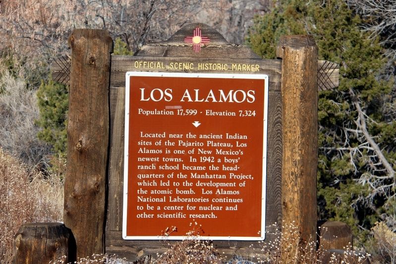
Los Alamos
Population 17,599 • Elevation 7,324
Erected by New Mexico Historic Preservation Division. (Marker Number 447.)
Topics. This historical marker is listed in these topic lists: Native Americans • Science & Medicine • War, World II. A significant historical year for this entry is 1942.
Location. 35° 52.476′ N, 106° 14.855′ W. Marker is in Los Alamos, New Mexico, in Los Alamos County. Marker is on E Road (State Highway 502) east of Eastgate Drive, on the right when traveling west. Touch for map. Marker is in this post office area: Los Alamos NM 87544, United States of America. Touch for directions.
Other nearby markers. At least 8 other markers are within 3 miles of this marker, measured as the crow flies. Senator Clinton P. Anderson Scenic Route (approx. 0.8 miles away); Post Office (approx. 3 miles away); Los Alamos Post Office (approx. 3 miles away); Martha Brook (approx. 3.1 miles away); Albert J. Connell (approx. 3.1 miles away); Harold H. Brook (approx. 3.1 miles away); The Romero Cabin (approx. 3.1 miles away); Homesteading on the Pajarito Plateau, 1887-1942 (approx. 3.1 miles away). Touch for a list and map of all markers in Los Alamos.
Credits. This page was last revised on April 24, 2022. It was originally submitted on April 24, 2022, by Duane and Tracy Marsteller of Murfreesboro, Tennessee. This page has been viewed 173 times since then and 48 times this year. Photo 1. submitted on April 24, 2022, by Duane and Tracy Marsteller of Murfreesboro, Tennessee.
