Cumberland Township near Gettysburg in Adams County, Pennsylvania — The American Northeast (Mid-Atlantic)
Shelter From Attack
| — | Gettysburg National Military Park | — |
Photographed by Anton Schwarzmueller, August 23, 2021
1. Shelter From Attack Marker
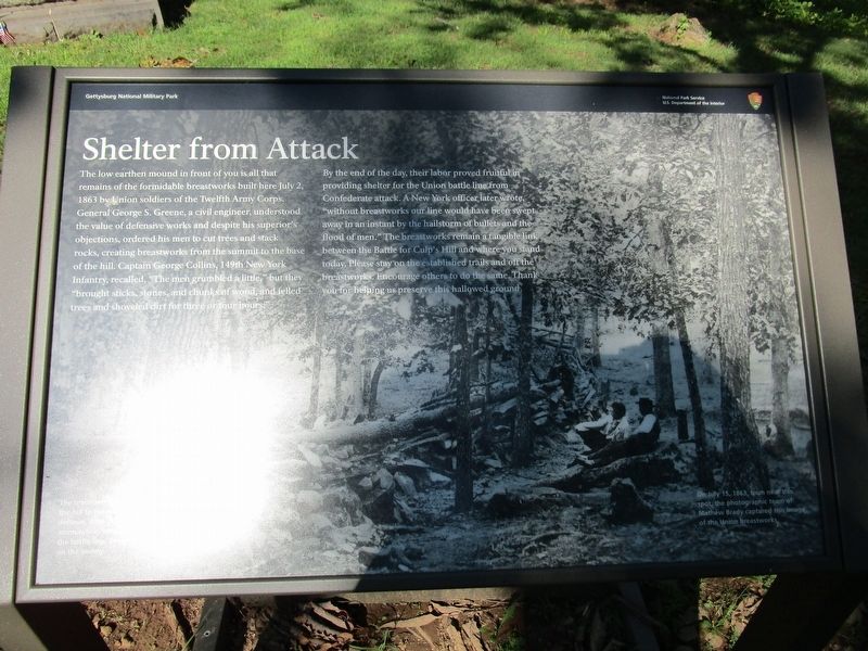
By the end of the day, their labor proved fruitful in providing shelter for the Union battle line from Confederate attack. A New York officer later wrote, "without breastworks our line would have been swept away in an instant by the hailstorm of bullets and the blood of men." The breastworks remain a tangible link between the Battle for Culp's Hill and where you stand today. Please stay on the established trails and off the breastworks. Encourage others to do the same. Thank you for helping us preserve this hallowed ground.
(captions)
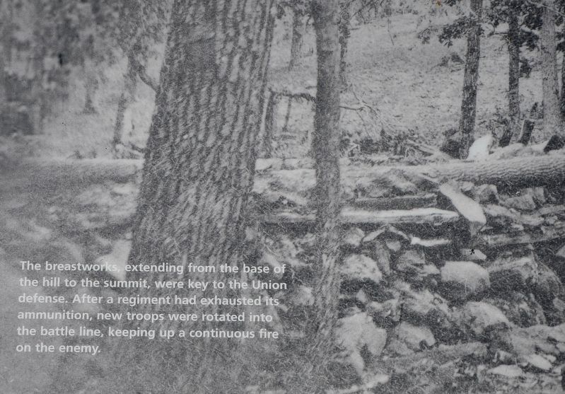
The breastworks extending from the base of the hill to the summit, were key to the Union defense. After a regiment had exhausted its ammunition, new troops were rotated into the battle linr, keeping up a continuous fire on the enemy.
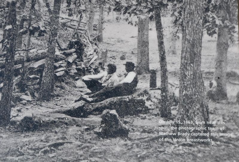
On July 15, 1863, from near this spot, the photographic team of Mathew Brady captured this image of the Union breastworks.
Erected 2021
this page online
Topics. This historical marker is listed in this topic list: War, US Civil. A significant historical date for this entry is July 2, 1863.
Location. 39° 49.145′ N, 77° 13.175′ W. Marker is near Gettysburg, Pennsylvania, in Adams County. It is in Cumberland Township. It is on Slocum Avenue ¼ mile south of Williams Avenue, on the right when traveling north. Marker is a few feet in front of the monument to the 150th New York Infantry. Touch for map. Marker is in this post office area: Gettysburg PA 17325, United States of America. Touch for directions.

Regionally, this marker is in South-Central Pennsylvania. It is also in the American Northeast, in the Mid-Atlantic, in Appalachia, and specifically in Northern Appalachia. Globally, it is in North America, the Western Hemisphere, the Western World, and the Anglosphere. Historically, it finds itself in what was once the Haudenosaunee (Iroquois) Confederacy and also one of the original Thirteen Colonies.
Other nearby markers. At least 8 other markers are within walking distance of this marker: 150th New York Infantry (here, next
Photographed by Karl Stelly, April 24, 2022
2. Mathew Brady Photograph
On July 15, 1863, from near this spot, the photographic team of Mathew Brady captured this image of the Union breastworks.
Also see . . . Gettysburg National Military Park. National Park Service (Submitted on May 6, 2022.)
Photographed by Karl Stelly, April 24, 2022
3. Shelter From Attack Marker
Photographed by Anton Schwarzmueller, August 23, 2021
4. Shelter From Attack Marker
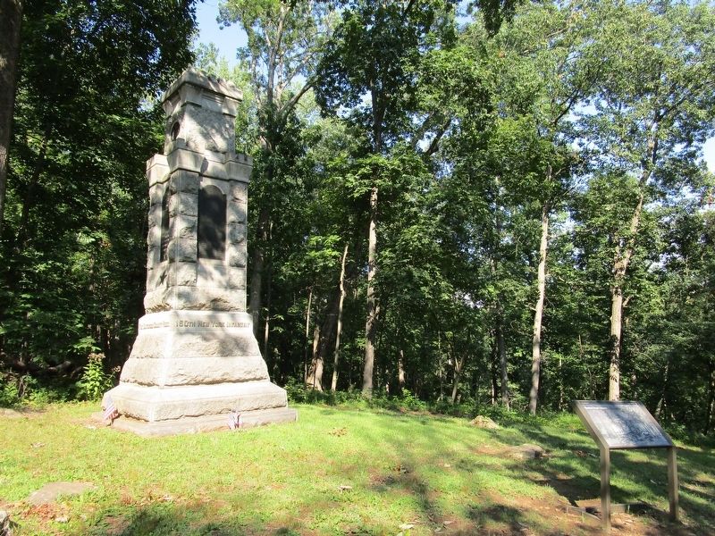
Marker is by the 150th New York Infantry monument on the avenue that leads to Culp's Hill.
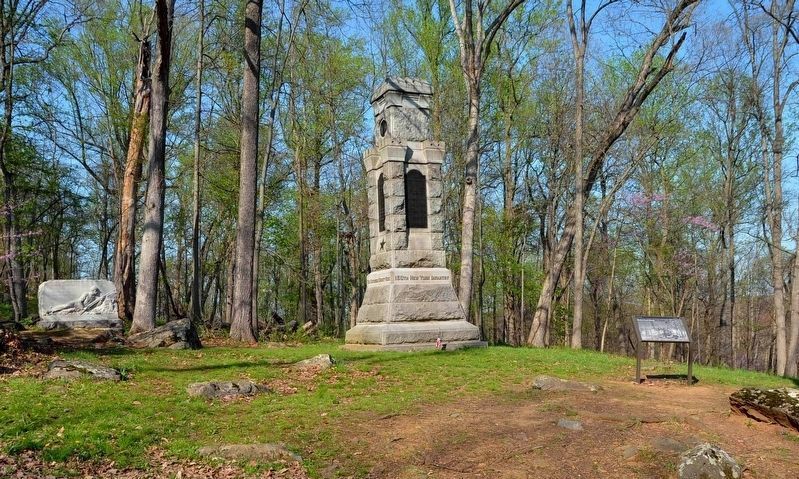
Photographed by Karl Stelly, April 24, 2022
5. Shelter From Attack Marker
At left is the monument to the 1st Regiment, Eastern Shore Maryland Volunteer Infantry
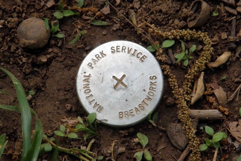
Photographed by Larry Gertner, May 10, 2023
6. NPS breastwork survey marker
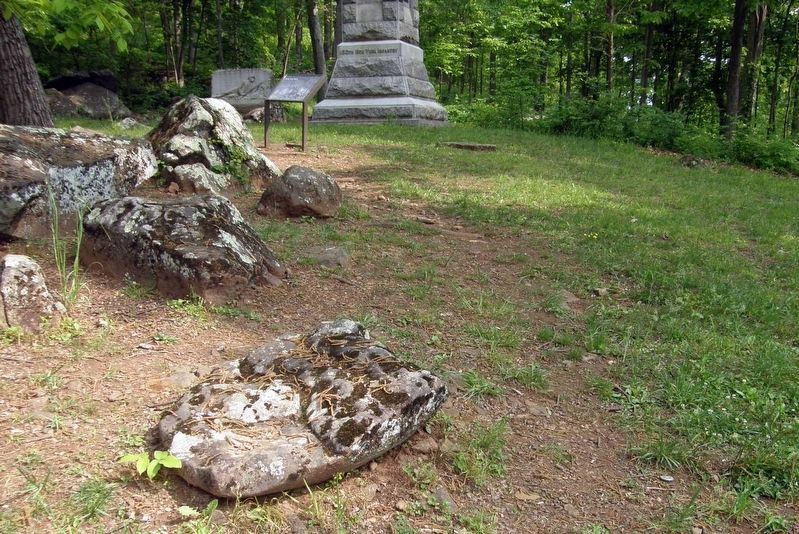
Photographed by Larry Gertner, May 10, 2023
7. Survey marker, lower right corner
Credits. This page was last revised on May 14, 2023. It was originally submitted on August 26, 2021, by Anton Schwarzmueller of Wilson, New York. This page has been viewed 444 times since then and 49 times this year. Last updated on April 24, 2022, by Karl Stelly of Gettysburg, Pennsylvania. Photos: 1. submitted on August 26, 2021, by Anton Schwarzmueller of Wilson, New York. 2, 3. submitted on May 4, 2022, by Karl Stelly of Gettysburg, Pennsylvania. 4. submitted on August 26, 2021, by Anton Schwarzmueller of Wilson, New York. 5. submitted on May 4, 2022, by Karl Stelly of Gettysburg, Pennsylvania. 6, 7. submitted on May 14, 2023, by Larry Gertner of New York, New York. • Bernard Fisher was the editor who published this page.
