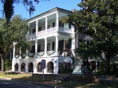
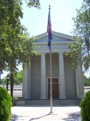
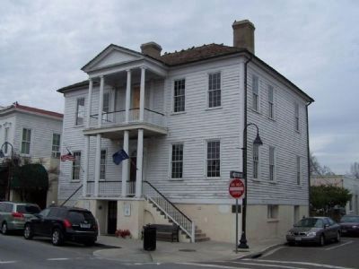
Beaufort in Beaufort County, South Carolina — The American South (South Atlantic)
Beaufort
Inscription.
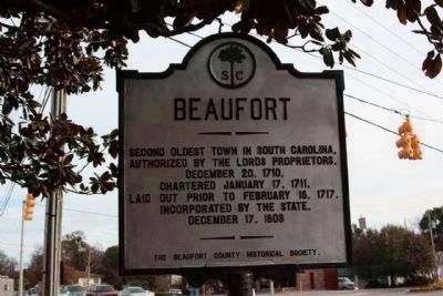
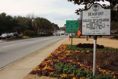
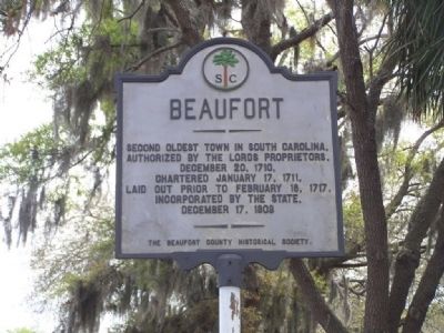
Authorized by the Lords Proprietors,
December 20, 1710,
Chartered January 17, 1711,
Laid out prior to February 16, 1717,
Incorporated by the state,
December 17, 1808
Erected by the Beaufort Historical Society. (Marker Number 7-1.)
Topics and series. This historical marker is listed in these topic lists: Colonial Era • Settlements & Settlers. In addition, it is included in the National Historic Landmarks, and the South Carolina, Beaufort County Historical Society series lists. A significant historical date for this entry is January 17, 1832.
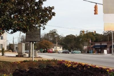
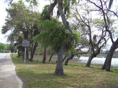
Location. 32° 26.416′ N, 80° 41.152′ W. Marker is in Beaufort, South Carolina, in Beaufort County. Marker is on Boundary Street (U.S. 21) near Ribaut Road, on the right when traveling west. Touch for map. Marker is in this post office area: Beaufort SC 29902, United States of America. Touch for directions.
Other nearby markers. At least 8 other markers are within walking distance of this marker. Address by President Lincoln (approx. 0.3 miles away); Beaufort National Cemetery (approx. 0.4 miles away); A National Cemetery System (approx. 0.4 miles away); 1st SC Infantry Of African Descent (approx. 0.4 miles away); Re-interred 19 African-American Civil War Volunteers (approx. 0.4 miles away); Beaufort Historic District (approx. 0.6 miles away); Stephen Elliott Jr (approx. ¾ mile away); Grand Army of the Republic Hall (approx. ¾ mile away). Touch for a list and map of all markers in Beaufort.
More about this marker. Moved to present location in 2010
Regarding Beaufort. Beaufort has been the setting for several novels by native son Pat Conroy, and a popular filming location for major motion pictures, including The Big Chill, The Prince of Tides, The Great Santini, Forrest Gump, Something To Talk About and GI Jane.
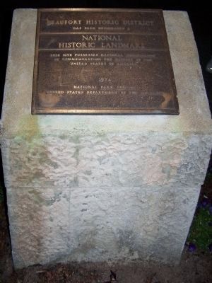
National Register of Historic Places :
Beaufort Historic District *** (added 1969 - District - #69000159)
♦ Bounded by the Beaufort River, Bladen, Hamar, and Boundary Sts., Beaufort
♦ Historic Significance: Architecture/Engineering, Event
♦ Architect, builder, or engineer: Unknown
♦ Architectural Style: Federal, Greek Revival
♦ Area of Significance: Black, Social History, Politics/Government, Community Planning And Development, Architecture, Military, Native American, Commerce,
Exploration/Settlement
♦ Period of Significance: 1500-1599, 1600-1649, 1650-1699, 1700-1749, 1750-1799, 1800-1824, 1825-1849, 1850-1874, 1875-1899, 1900-1924, 1925-1949
♦ Owner: Private , Local Gov't
♦ Historic Function: Commerce/Trade, Domestic, Religion, Social
♦ Historic Sub-function: Business, Department Store, Meeting Hall, Religious Structure, Single Dwelling, Specialty Store
♦ Current Function: Commerce/Trade, Domestic
♦ Current Sub-function: Department Store, Meeting Hall, Religious Structure, Single Dwelling, Specialty Store
Also see . . .
1. Beaufort, in Wikipedia. The Treaty of Beaufort fixing the boundary between South Carolina and Georgia was signed in the city in 1787. (Submitted on April 12, 2008, by Mike Stroud of Bluffton, South Carolina.)
2. National Register Information on Beaufort Historic District. Beaufort is significant for its role as a major center of South Carolina’s antebellum plantation culture, its contribution to the history of the Civil War, and for its role it played in African-American history both during and after the war. (Submitted on September 18, 2008, by Brian Scott of Anderson, South Carolina.)
Photographed By Mike Stroud, 2008
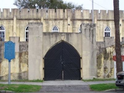
7. Home to the Beaufort Arsenal
" Erected in 1798 and rebuilt in 1852, the Beaufort Arsenal was the home of the Beaufort Volunteer Artillery, commissioned in 1802, which had its roots in an earlier company organized in 1776 and served valiantly in the Revolutionary War. The BVA was stationed at Fort Beauregard during the Battle of Port Royal on November 7, 1861. "
Click for more information.
Click for more information.
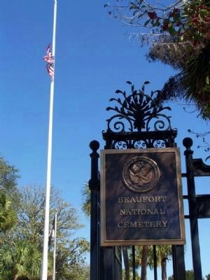
Photographed By Mike Stroud, 2008
10. National Cemetery
" These hallowed grounds hold the
remains of at least nineteen black
Union soldiers, 55th Massachusetts
Infantry Regiment, who lost their
lives on Folly Island in the siege
of Charleston, during the winter
encampment of Nov 1863 - Feb 1864,
Civil War. "
Credits. This page was last revised on June 16, 2016. It was originally submitted on April 12, 2008, by Mike Stroud of Bluffton, South Carolina. This page has been viewed 1,993 times since then and 57 times this year. Last updated on June 4, 2009, by Mike Stroud of Bluffton, South Carolina. Photos: 1, 2, 3. submitted on January 9, 2011, by Mike Stroud of Bluffton, South Carolina. 4, 5. submitted on April 12, 2008, by Mike Stroud of Bluffton, South Carolina. 6. submitted on January 10, 2011, by Mike Stroud of Bluffton, South Carolina. 7, 8, 9, 10. submitted on April 12, 2008, by Mike Stroud of Bluffton, South Carolina. 11, 12, 13. submitted on July 1, 2011, by Mike Stroud of Bluffton, South Carolina. • Craig Swain was the editor who published this page.
