Carrizo Plain National Monument in San Luis Obispo County, California — The American West (Pacific Coastal)
Soda Lake
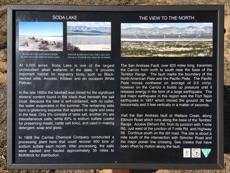
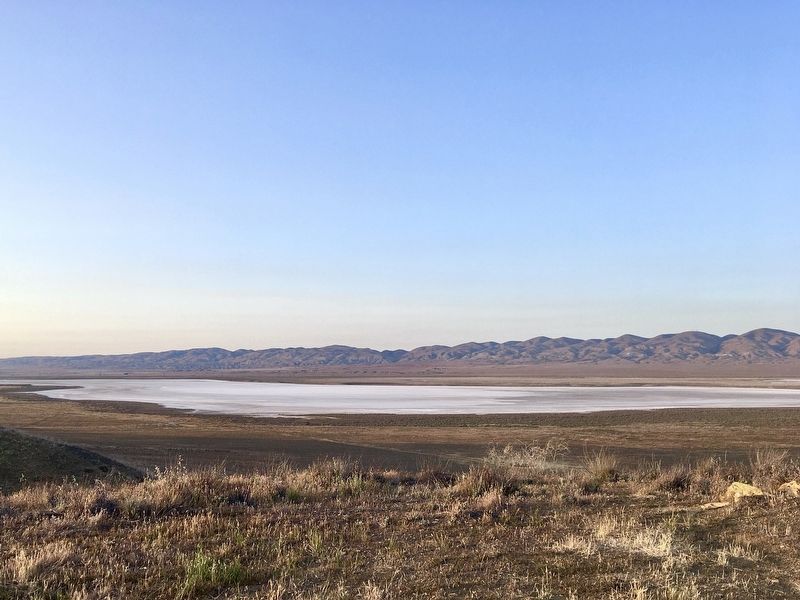
At 3,000 acres, Soda Lake is one of the largest undisturbed alkali wetlands in the state. It provides important habitat for migratory birds, such as Black-necked stilts, Avocets, Killdeer and on occasion White Pelican.
In the late 1800s the lakebed was mined for the significant mineral content found in the black mud beneath the salt crust. Because the lake is self-contained, with no outlet, the water evaporates in the summer. The remaining salts form a glistening expanse that appears to ripple and sway in the heat. Only 9% consists of table salt, another 9% are miscellaneous salts, while 82% is sodium sulfate (useful for preserving meats, cattle salt licks), and used in making detergent, soap and glass.
In 1908 the Carrisa Chemical Company constructed a processing plant here that could recover 600 tons of sodium sulfate each month. After processing, the salts were sacked and hauled approximately 35 miles to McKittrick for distribution.
The San Andreas Fault, over 625 miles long, traverses the Carrizo from north to south near the base of the Temblor Range. The fault marks the boundary of the North American Plate and the Pacific Plate. The Pacific Plate moves northwest on average of 3-5 cm/yr, however on the Carrizo it builds up pressure until it releases energy in the form of a large earthquake. The last major earthquake in this region was the Fort Tejon earthquake in 1857 which moved the ground 30 feet horizontally and 3 feet vertically in a matter of seconds.
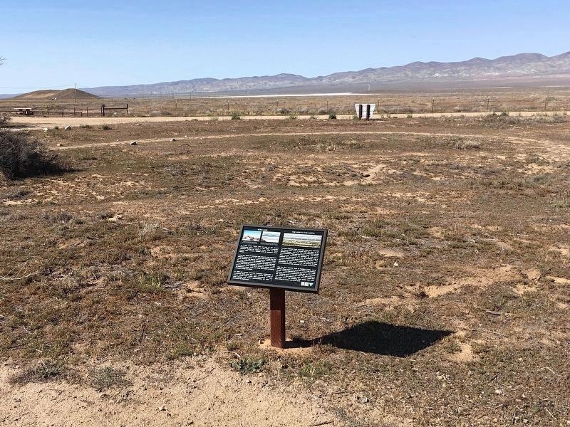
Visit the San Andreas fault at Wallace Creek, along Elkhorn Road which runs along the base of the Temblor Range. Access Elkhorn Rd. from its junction with 7-mile Rd, just west of the junction of 7-mile Rd. and Highway 58. Continue south on the dirt road. The site is about a mile south of the intersection with Simmler Road and the major power line crossing. See creeks that have been offset by motion along the fault.
Erected by Friends of the Carrizo Plain, and Bureau of Land Management.
Topics. This historical marker is listed in these topic lists: Industry & Commerce • Natural Features • Natural Resources.
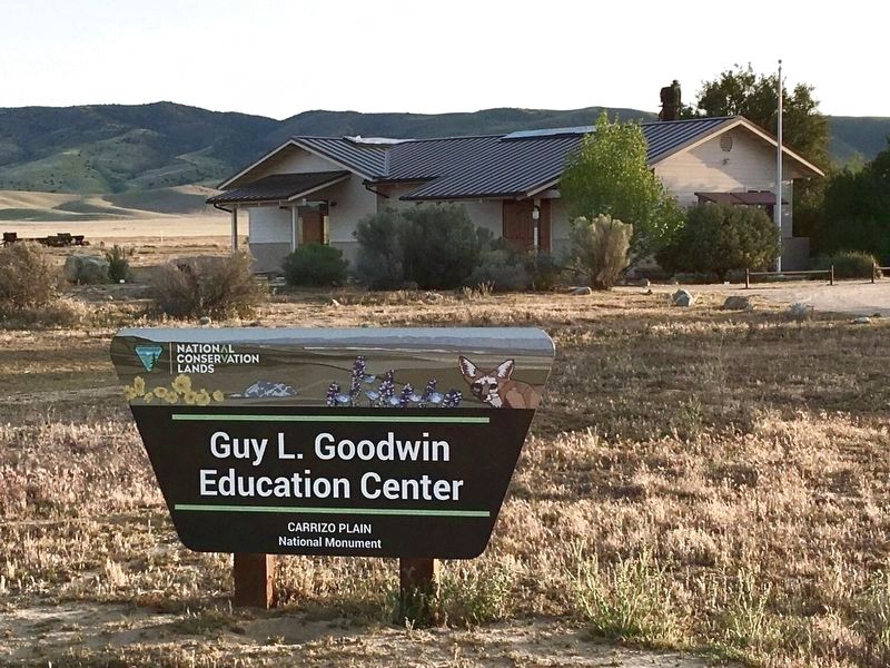
Location. 35° 11.396′ N, 119° 51.774′ W. Marker is in Carrizo Plain National Monument, California, in San Luis Obispo County. Marker can be reached from Soda Lake Road, one mile south of Simmler Road, on the right when traveling south. Located at the Goodwin Education Center visitor center. Touch for map. Marker is at or near this postal address: 17495 Soda Lake Rd, Santa Margarita CA 93453, United States of America. Touch for directions.
Other nearby markers. At least 7 other markers are within 6 miles of this marker, measured as
the crow flies. Painted Rock (within shouting distance of this marker); Farming Carrizo (about 700 feet away, measured in a direct line); a different marker also named Painted Rock (approx. 2˝ miles away); a different marker also named Soda Lake (approx. 4.1 miles away); Goodwin Ranch (approx. 4.2 miles away); a different marker also named Soda Lake (approx. 4.3 miles away); Wallace Creek (approx. 6 miles away).
Also see . . . Carrizo Plain National Monument. Link OK; 05/11/2023 LPG. (Submitted on April 25, 2022.)
Credits. This page was last revised on October 25, 2023. It was originally submitted on April 25, 2022, by Craig Baker of Sylmar, California. This page has been viewed 342 times since then and 41 times this year. Photos: 1, 2, 3, 4. submitted on April 25, 2022, by Craig Baker of Sylmar, California.


