Elko in Henrico County, Virginia — The American South (Mid-Atlantic)
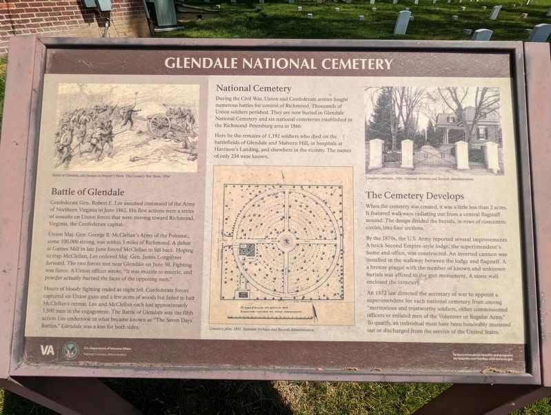
Glendale National Cemetery

Photographed By Mike Wintermantel, April 17, 2022
1. Glendale National Cemetery Marker
top left photo
Battle of Glendale, also known as Frayser's Farm. The Century War Book, 1894.
center photo
Cemetery plan, 1892, National Archives and Records Administration
top right photo
Cemetery entrance, 1904, National Archives and Records Administration
Battle of Glendale, also known as Frayser's Farm. The Century War Book, 1894.
center photo
Cemetery plan, 1892, National Archives and Records Administration
top right photo
Cemetery entrance, 1904, National Archives and Records Administration
Confederate Gen. Robert E. Lee assumed command of the Army of Northern Virginia in June 1862. His first actions were a series of assaults on Union forces that were moving toward Richmond, Virginia, the Confederate capital.
Union Maj. Gen. George B. McClellan's Army of the Potomac, some 100,000 strong, was within 5 miles of Richmond. A defeat at Gaines Mill in late June forced McClellan to fall back. Hoping to trap McClellan, Lee ordered Maj. Gen. James Longstreet forward. The two forces met near Glendale on June 30. Fighting was fierce. A Union officer wrote, "It was muzzle to muzzle, and powder actually burned the faces of the opposing men."
Hours of bloody fighting ended as night fell. Confederate forces captured six Union guns and a few acres of woods but failed to halt McClellan's retreat. Lee and McClellan each lost approximately 3,500 men in the engagement. The Battle of Glendale was the fifth action Lee undertook in what became known as “The Seven Days Battles.” Glendale was a loss for both sides.
National Cemetery
During the Civil War, Union and Confederate armies fought numerous battles for control of Richmond. Thousands of Union soldiers perished. They are now buried in Glendale National Cemetery and six national cemeteries established in the Richmond-Petersburg area in 1866.
Here lie the remains of 1,192 soldiers who died on the battlefields of Glendale and Malvern Hill, in hospitals at Harrison's Landing, and elsewhere in the vicinity. The names of only 234 were known.
The Cemetery Develops
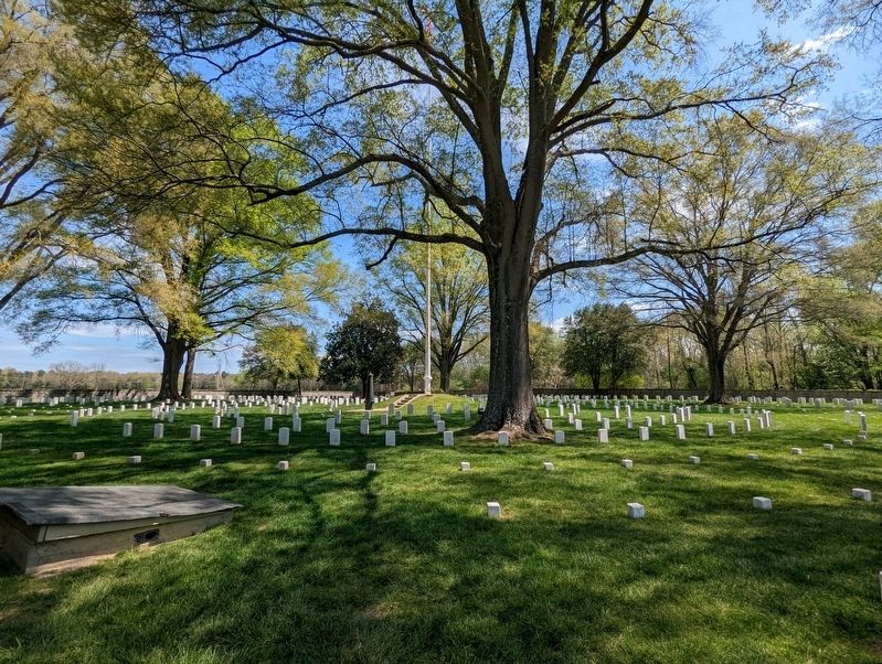
When the cemetery was created, it was a little less than 2 acres. It featured walkways radiating out from a central flagstaff mound. The design divided the burials, in rows of concentric circles, into four sections.
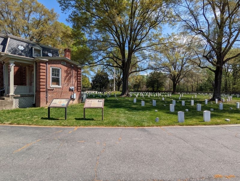
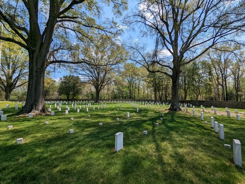
By the 1870s, the U.S. Army reported several improvements. A brick Second Empire-style lodge, the superintendent's home and office, was constructed. An inverted cannon was installed in the walkway between the lodge and flagstaff. A bronze plaque with the number of known and unknown burials was affixed to the gun monument. A stone wall enclosed the cemetery.
An 1872 law directed the secretary of war to appoint a superintendent for each national cemetery from among "meritorious and trustworthy soldiers, either commissioned officers or enlisted men of the Volunteer or Regular Army." To qualify, an individual must have been honorably mustered out or discharged from the service of the United States.
Erected by U.S. Department of Veterans Affairs, National Cemetery Administration.
Topics. This historical marker is listed in these topic lists: Cemeteries & Burial Sites • War, US Civil. A significant historical month for this entry is June 1862.
Location. 37° 26.16′ N, 77° 14.101′ W. Marker is in Elko, Virginia, in Henrico County. Marker can be reached from Willis Church Road south of Western Run Road. Touch for map. Marker is at or near this postal address: 8301 Willis Church Road, Henrico VA 23231, United States of America. Touch for directions.
Other nearby markers. At least 8 other markers are within walking distance of this marker. A National Cemetery System (here, next to this marker); Willis' Church (about 400 feet away, measured in a direct line); Seven Days Battles (about 600 feet away); a different marker also named Seven Days Battles (approx. 0.3 miles away); Battle of Glendale (approx. 0.6 miles away); a different marker also named Seven Days’ Battles (approx. 0.7 miles away); Glendale (Frayser’s Farm) (approx. 0.7 miles away); Riddell's Shop (approx. 0.7 miles away).
Also see . . . Glendale National Cemetery. (Submitted on April 25, 2022, by Mike Wintermantel of Pittsburgh, Pennsylvania.)
Credits. This page was last revised on April 25, 2022. It was originally submitted on April 25, 2022, by Mike Wintermantel of Pittsburgh, Pennsylvania. This page has been viewed 199 times since then and 48 times this year. Photos: 1, 2, 3, 4. submitted on April 25, 2022, by Mike Wintermantel of Pittsburgh, Pennsylvania.


