Keyser in Mineral County, West Virginia — The American South (Appalachia)
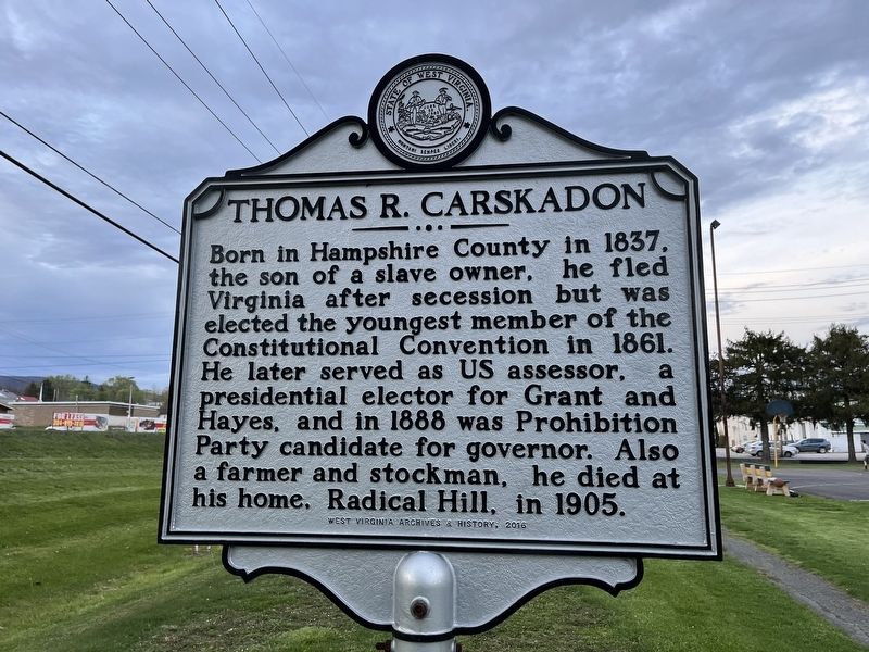
Thomas R. Carskadon
Erected 2016 by West Virginia Archives & History.
Topics and series. This historical marker is listed in these topic lists: Government & Politics • War, US Civil. In addition, it is included in the Former U.S. Presidents: #18 Ulysses S. Grant, the Former U.S. Presidents: #19 Rutherford B. Hayes, and the West Virginia Archives and History series lists. A significant historical year for this entry is 1837.
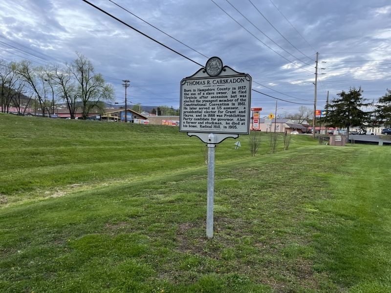
Location. 39° 25.875′ N, 78° 59.214′ W. Marker is in Keyser, West Virginia, in Mineral County. Marker is on South Mineral Street just south of Carskadon Lane, on the left when traveling south. Touch for map. Marker is in this post office area: Keyser WV 26726, United States of America. Touch for directions.
Other nearby markers. At least 8 other markers are within walking distance of this marker. Historical Markers (within shouting distance of this marker); Keyser / Averell’s Raid (within shouting distance of this marker); Carskadon Mansion (within shouting distance of this marker); Cannon Road (about 700 feet away, measured in a direct line); Fort Piano (approx. 0.4 miles away); Fort Fuller / Capture of New Creek (approx. half a mile away); Potomac State College (approx. half a mile away); Fort Fuller (approx. 0.6 miles away). Touch for a list and map of all markers in Keyser.
Credits. This page was last revised on April 25, 2022. It was originally submitted on April 25, 2022, by Devry Becker Jones of Washington, District of Columbia. This page has been viewed 147 times since then and 24 times this year. Photos: 1, 2. submitted on April 25, 2022, by Devry Becker Jones of Washington, District of Columbia.

