Carrizo Plain National Monument in San Luis Obispo County, California — The American West (Pacific Coastal)
Farming Carrizo
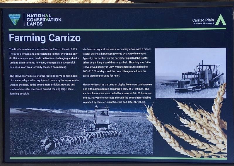
The first homesteaders arrived on the Carrizo Plain in 1885. The area's limited and unpredictable rainfall, averaging only 8-10 inches per year, made cultivation challenging and risky. Dryland grain farming, however, emerged as a successful business in an area formerly focused on ranching.
The plowlines visible along the foothills serve as reminders of the early days, when equipment drawn by horses or mules worked the land. In the 1940s more efficient tractors and modern harvester machines arrived, making large-scale farming possible.
Mechanized agriculture was a very noisy affair, with a diesel tractor pulling a harvester powered by a gasoline engine. Typically, the captain on the harvester signaled the tractor driver by yanking a cord that rang a bell. Shouting was futile. Harvest was usually in July, when temperatures spiked to 100-110 °F. At days' end the crew often jumped into the cattle watering troughs for relief.
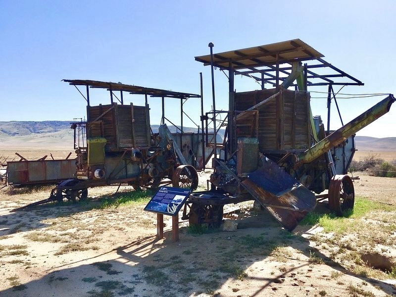
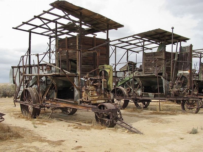
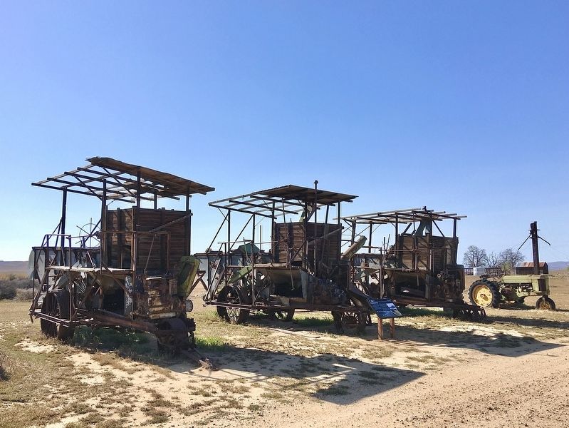
Harvesters (such as the ones on display here) were cumbersome and difficult to operate, requiring a crew of 3-10 men. The earliest harvesters were pulled by a team of 16-20 horses or mules. Harvesters operated through the 1940s before being replaced by more efficient tractors and, later, threshers.
Erected by Bureau of Land Management .
Topics. This historical marker is listed in this topic list: Agriculture. A significant historical year for this entry is 1885.
Location. 35° 11.294′ N, 119° 51.823′ W. Marker is in Carrizo Plain National Monument, California, in San Luis Obispo County. Marker can be reached from Soda Lake Road, one mile south of Simmler Road, on the right when traveling south. Located 600 feet south of the Goodwin Education Center visitor center. Touch for map. Marker is at or near this postal address: 17495 Soda Lake Road, Santa Margarita CA 93453, United States of America. Touch for directions.
Other nearby markers. At least 7 other markers are within 6 miles of this marker, measured as the crow flies. Painted Rock (about 600 feet away, measured in a direct line); Soda Lake (about 700 feet away); a different marker also named Painted Rock (approx. 2.4 miles away); a different marker also named Soda Lake (approx. 4.2 miles away); Goodwin Ranch (approx. 4.3 miles away); a different marker also named Soda Lake (approx. 4.4 miles away); Wallace Creek (approx. 6.1 miles away).
Also see . . . Carrizo Plain Recreation Guide and Map. (Submitted on November 20, 2023.)
Credits. This page was last revised on November 20, 2023. It was originally submitted on April 26, 2022, by Craig Baker of Sylmar, California. This page has been viewed 170 times since then and 32 times this year. Photos: 1, 2. submitted on April 26, 2022, by Craig Baker of Sylmar, California. 3. submitted on October 25, 2023. 4, 5. submitted on April 26, 2022, by Craig Baker of Sylmar, California.
