Cumberland Township near Gettysburg in Adams County, Pennsylvania — The American Northeast (Mid-Atlantic)
Abraham Brian Farm
— Gettysburg National Military Park —
(captions)
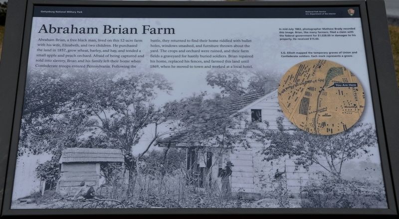
In mid-July 1863, photographer Mathew Brady recorded this image. Brian, like many farmers, filed a claim with the federal government for $1,028.00 in damages to his property. He received $15.00.
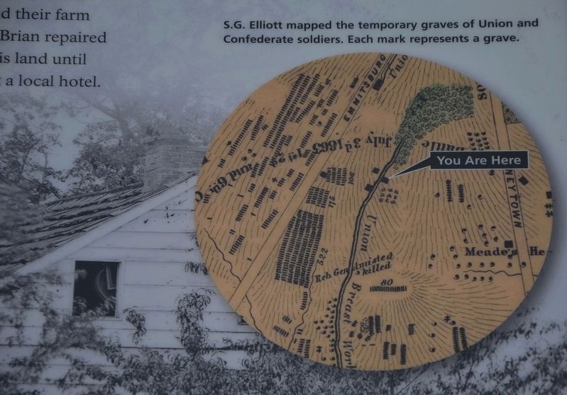
S.G. Elliot mapped the temporary graves of Union and Confederate soldiers. Each mark represents a grave.
Erected 2021 by National Park Service, U.S. Department of the Interior.
Topics. This historical marker is listed in these topic lists: African Americans • Cemeteries & Burial Sites • War, US Civil. A significant historical date for this entry is July 3, 1863.
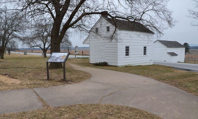
Location. 39° 48.933′ N, 77° 14.1′ W. Marker is near Gettysburg, Pennsylvania, in Adams County. It is in Cumberland Township. Marker can be reached from Hancock Avenue, half a mile north of Pleasonton Avenue, on the right when traveling north. Located right behind the Brian House at the spot where two sidewalks meet. Touch for map. Marker is at or near this postal address: 1 Hancock Ave, Gettysburg PA 17325, United States of America. Touch for directions.
Other nearby markers. At least 8 other markers are within walking distance of this marker. The Brian Farm (a few steps from this marker); 107th Regiment Pennsylvania Infantry (within shouting distance of this marker); 111th New York Infantry (within shouting distance of this marker); Third Brigade (within shouting distance of this marker); High Water Mark Walking Tour (within shouting distance of this marker); Ninth Massachusetts Battery (within shouting distance of this marker); 11th Mississippi Infantry Regiment (within shouting distance of this marker); Third Division (within shouting distance of this marker). Touch for a list and map of all markers in Gettysburg.
Also see . . . Gettysburg National Military Park. National Park Service (Submitted on April 27, 2022.)
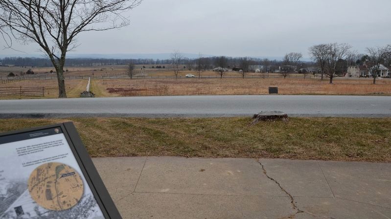
Photographed By Karl Stelly, January 25, 2021
5. Abraham Brian Farm Marker
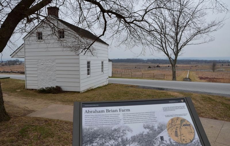
This view looks towards the west. Hancock Avenue can be seen in the close background, with the Emmitsburg Road a short distance beyond it. The fields beyond are where part of Pickett's Charge moved across on the afternoon of July 3, 1863.
Credits. This page was last revised on May 17, 2023. It was originally submitted on April 26, 2022, by Karl Stelly of Gettysburg, Pennsylvania. This page has been viewed 239 times since then and 31 times this year. Photos: 1, 2, 3, 4, 5. submitted on April 26, 2022, by Karl Stelly of Gettysburg, Pennsylvania. • Bernard Fisher was the editor who published this page.
