Newport Beach in Orange County, California — The American West (Pacific Coastal)
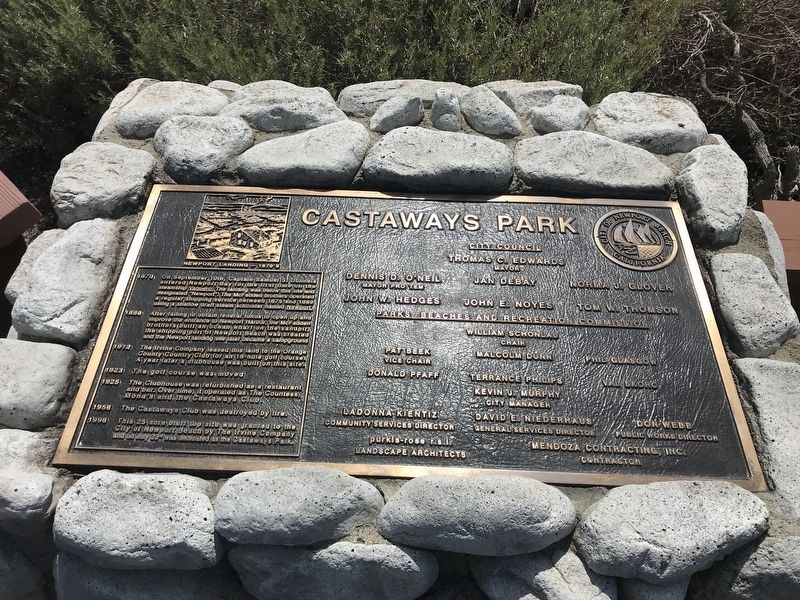
Castaways Park
Newport Landing - 1870s
1870
On September 10th, Captain Samuel S. Dunnels entered Newport Bay for the first time on the steamship Vaquere. The landing was below this site and designated "Newport". The McFadden brothers operated a regular shipping service between 1875 and 1889 using a shallow draft steam schooner named Newport.
1889
After failing to obtain federal funds to open up and improve the entrance to Newport Harbor, the McFadden brothers built an ocean wharf on the sandpit, the shipping port of Newport Beach was created and the Newport landing site later became a campground.
1912
The Irvine Company leased this land to the Orange County Country Club for an 18-hole golf course. A year later a clubhouse was built on this site.
1923
The golf course was moved.
1925
The Clubhouse was refurbished as a restaurant and bar. Over time, it operated as The Countess, Mona's and the Castaways Club.
1956
The Castaways Club was destroyed by fire.
1998
This 25 acres bluff top site was granted to the City of Newport Beach by the Irvine Company and on July 23rd was dedicated as the Castaways Park.
Erected 1998 by City of Newport Beach.
Topics. This historical marker is listed in these topic lists: Exploration • Parks & Recreational Areas • Settlements & Settlers • Waterways & Vessels. A significant historical date for this entry is July 23, 1870.
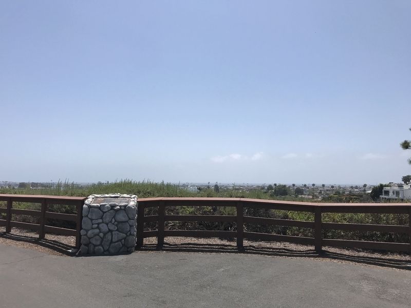
Location. 33° 37.112′ N, 117° 54.365′ W. Marker is in Newport Beach, California, in Orange County. Marker can be reached from Dover Drive just south of Cliff Drive, on the right when traveling north. Touch for map. Marker is at or near this postal address: 700 Dover Dr, Newport Beach CA 92660, United States of America. Touch for directions.
Other nearby markers. At least 8 other markers are within 2 miles of this marker, measured as the crow flies. 1st Battalion, 1st Marines, 1st Marine Division Memorial (within shouting distance of this marker); Old Landing (approx. 0.2 miles away); Mariner's Mile (approx. one mile away); First Ferry Service Between Balboa and Balboa Island (approx. one mile away); Pizza Pete's Cafe (approx. 1.1 miles away); Balboa Saloon (approx. 1.2 miles away); Balboa Pavilion (approx. 1.2 miles away); a different marker also named Balboa Pavilion (approx. 1.2 miles away). Touch for a list and map of all markers in Newport Beach.
Credits. This page was last revised on April 27, 2022. It was originally submitted on April 27, 2022, by Adam Margolis of Mission Viejo, California. This page has been viewed 270 times since then and 70 times this year. Photos: 1, 2. submitted on April 27, 2022, by Adam Margolis of Mission Viejo, California. • Devry Becker Jones was the editor who published this page.

