Hammond's Ferry in North Augusta in Aiken County, South Carolina — The American South (South Atlantic)
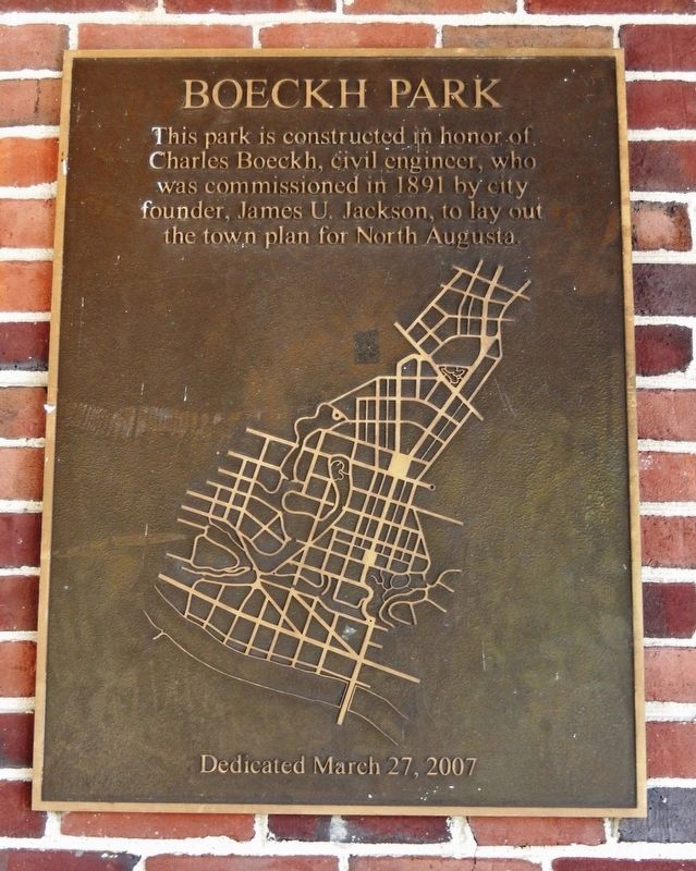
Boeckh Park
This park is constructed in honor of Charles Boeckh, civil engineer, who was commissioned in 1891 by city founder, James U. Jackson, to lay out the town plan for North Augusta.
Erected 2007.
Topics. This historical marker is listed in these topic lists: Parks & Recreational Areas • Settlements & Settlers. A significant historical year for this entry is 1891.
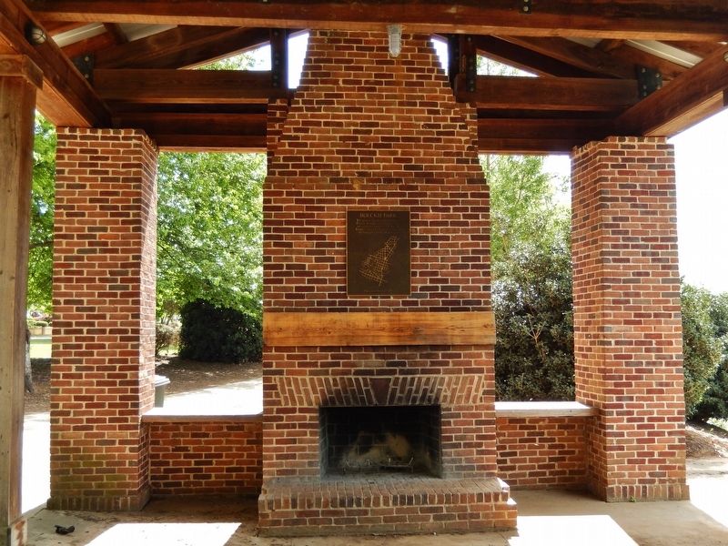
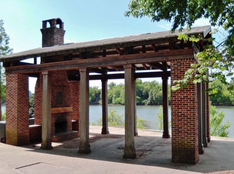
Location. 33° 29.152′ N, 81° 58.978′ W. Marker is in North Augusta, South Carolina, in Aiken County. It is in Hammond's Ferry. Marker can be reached from the intersection of Front Street and Crystal Lake Drive, on the left when traveling west. Marker is mounted above eye-level on the brick chimney at Boeckh Park Pavilion. Touch for map. Marker is at or near this postal address: 508 Front Street, North Augusta SC 29841, United States of America. Touch for directions.
Other nearby markers. At least 8 other markers are within walking distance of this marker. The Power of the Savannah River (about 600 feet away, measured in a direct line); Riverfront Village (approx. 0.2 miles away); Crossroads of the Southeast (approx. ¼ mile away); Sharon Lafaye Jones (approx. 0.4 miles away); Confederate Powder Works (approx. half a mile away in Georgia); The Augusta Canal (approx. half a mile away in Georgia); Archibald Willingham Butt Memorial Bridge (approx. half a mile away in Georgia); Dennis Cahill (approx. half a mile away in Georgia). Touch for a list and map of all markers in North Augusta.
Also see . . . 19th-century plan inspires South Carolina project. Public Square: A CNU Journal website entry:
A good deal of North Augusta filled in as Jackson envisioned, but one area conspicuously did not — the land situated in the floodplain of the Savannah River. Three existing city streets are being extended into the site, “effectively completing a town plan created in 1891,” when Jackson had Charles Boeckh lay out North Augusta as a grid of streets embellished by two formal squares and by numerous open spaces that follow natural drainage courses to the river.(Submitted on April 27, 2022, by Cosmos Mariner of Cape Canaveral, Florida.)
Credits. This page was last revised on January 7, 2024. It was originally submitted on April 27, 2022, by Cosmos Mariner of Cape Canaveral, Florida. This page has been viewed 441 times since then and 37 times this year. Photos: 1, 2, 3. submitted on April 27, 2022, by Cosmos Mariner of Cape Canaveral, Florida.


