Near Coulee Dam in Okanogan County, Washington — The American West (Northwest)
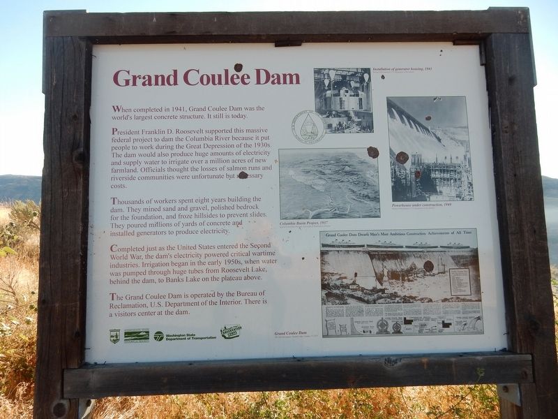
Grand Coulee Dam
President Franklin D. Roosevelt supported this massive federal project to dam the Columbia River because it put people to work during the Great Depression of the 1930s. The dam would also produce huge amounts of electricity and supply water to irrigate over a million acres of new farmland. Officials thought the losses of salmon runs and riverside communities were unfortunate but necessary costs.
Thousands of workers spent eight years building the dam. They mined sand and gravel, polished bedrock for the foundation, and froze hillsides to prevent slides. They poured millions of yards of concrete and installed generators to produce electricity.
Completed just as the United States entered the Second World War, the dam's electricity powered critical wartime industries. Irrigation began in the early 1950s, when water was pumped through huge tubes from Roosevelt Lake, behind the dam, to Banks Lake on the plateau above.
The Grand Coulee Dam is operated by the Bureau of Reclamation, U.S. Department of the Interior. There is a visitors center at the dam.
[Captions (clockwise from top)]
• Installation of generator housing, 1941 Bureau of Reclamation, US Department of the Interior
• Powerhouse under construction, 1940 Bureau of Reclamation, U.S. Department of the Interior
• Grand Coulee Dam The Star Newspaper, Grand Coulee, January 17, 1937
• Columbia Basin Project, 1937 Special Collections Division, University of Washington Libraries
Erected by Washington State Parks • Washington State Historical Society • Washington State Department of Transportation • Washington State Conservation Corps.
Topics. This historical marker is listed in these topic lists: Man-Made Features • Waterways & Vessels. A significant historical year for this entry is 1941.
Location. 47° 58.276′ N, 118° 59.23′ W. Marker is near Coulee Dam, Washington, in Okanogan County. Marker is on Crown Point Road, 0.9 miles east of Barry Rex Road, on the right when traveling east. Marker is in parking lot of Steamboat Rock State Park Crown Point vista. Touch for map. Marker is in this post office area: Grand Coulee WA 99133, United States of America. Touch for directions.
Other nearby markers. At least 5 other markers are within 10 miles of this marker, measured as the crow flies. Franklin Delano Roosevelt (approx. ¾ mile away); a different marker also named Grand Coulee Dam (approx. ¾ mile away); Welcome to Grand Coulee Dam (approx. ¾ mile away); “B” Street (approx. 1.9 miles away); History of the Steamboat Rock Area (approx. 9.6 miles away).
More about this marker. The Grand Coulee Dam has been supplanted by the Three Georges Dam in China, which opened in 2012, as the world's largest concrete structure.
Credits. This page was last revised on April 28, 2022. It was originally submitted on April 28, 2022, by Duane and Tracy Marsteller of Murfreesboro, Tennessee. This page has been viewed 118 times since then and 14 times this year. Photo 1. submitted on April 28, 2022, by Duane and Tracy Marsteller of Murfreesboro, Tennessee.
Editor’s want-list for this marker. Wide shot of marker and surrounding area in context. • Can you help?
