Near Fort Payne in DeKalb County, Alabama — The American South (East South Central)
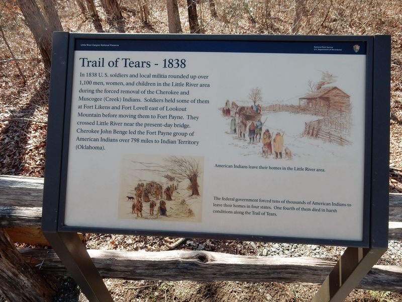
Trail of Tears 1838
Little River Canyon National Preserve
[Captions]
(Top) American Indians leave their homes in the Little River area.
(Bottom) The federal government forced tens of thousands of American Indians to leave their homes in four states. One fourth of them died in harsh conditions along the Trail of Tears.
Erected by National Park Service.
Topics and series. This historical marker is listed in these topic lists: Government & Politics • Native Americans. In addition, it is included in the Trail of Tears series list. A significant historical year for this entry is 1838.
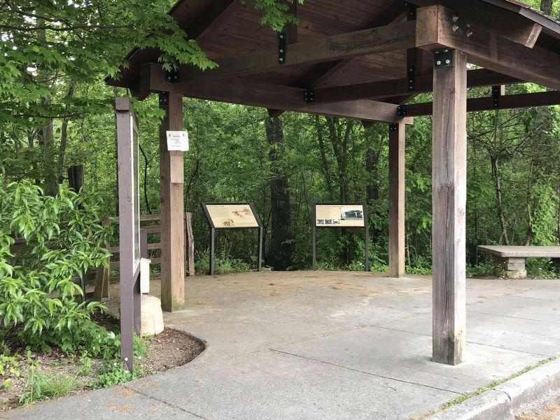
Location. 34° 23.728′ N, 85° 37.565′ W. Marker is near Fort Payne, Alabama, in DeKalb County. Marker can be reached from Little River Falls Overlook Trail, 0.1 miles west of Alabama Route 35. Located in the Little River Canyon Falls Park parking lot within the Little River Canyon National Preserve. Touch for map. Marker is in this post office area: Gaylesville AL 35973, United States of America. Touch for directions.
Other nearby markers. At least 8 other markers are within 7 miles of this marker, measured as the crow flies. Indians, Settlers, and Tourists (here, next to this marker); W.P. Brown & Sons Lumber Company (approx. 2.4 miles away); Arthur "Tarzan" White (approx. 2.8 miles away); History of Taff, Alabama (approx. 3.8 miles away); David Hartline (approx. 3.8 miles away); Cherokee Indian Removal (approx. 6.3 miles away); Boom Town Historic District (approx. 6.3 miles away); Sequoyah | Socks | Song | Scenery (approx. 6.3 miles away). Touch for a list and map of all markers in Fort Payne.
Credits. This page was last revised on May 12, 2022. It was originally submitted on April 29, 2022, by Duane and Tracy Marsteller of Murfreesboro, Tennessee. This page has been viewed 304 times since then and 51 times this year. Photos: 1. submitted on April 29, 2022, by Duane and Tracy Marsteller of Murfreesboro, Tennessee. 2. submitted on May 9, 2022, by Duane and Tracy Marsteller of Murfreesboro, Tennessee.

