Moose Jaw in Moose Jaw No. 161, Saskatchewan — The Prairie Region (North America)
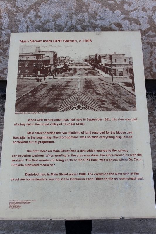
Main Street from CPR Station, c. 1908
Main Street divided the two sections of land reserved for the Moose Jaw townsite. In the beginning, the thoroughfare “was so wide everything else looked somewhat out of proportion.”
The first store on Main Street was a tent which catered to the railway construction workers. When grading in the area was done, the store moved on with the workers. The first wooden building north of the CPR track was a shack where Dr. Colin Pitblado practised medicine.
Depicted here is Main Street about 1908. The crowd on the west side of the street are homesteaders waiting at the Dominion Land Office to file on homestead land.
Moose Jaw Art Museum, National Exhibition Centre
Community Tourism Assistance Program
Municipal Heritage Advisory Committee
Tourism Moose Jaw
Public Library Archives
Text by: Leith Knight
Erected by Moose Jaw Art Museum, National Exhibition Centre • Community Tourism Assistance Program • Municipal Heritage Advisory Committee • Tourism Moose Jaw.
Topics. This historical marker is listed in these topic lists: Industry & Commerce • Railroads & Streetcars • Roads & Vehicles. A significant historical year for this entry is 1908.
Location. 50° 23.362′ N, 105° 32.092′ W. Marker is in Moose Jaw, Saskatchewan, in Moose Jaw No. 161. Marker is at the intersection of Manitoba Street West (Saskatchewan Route 363) and Main Street North (Saskatchewan Route 2), on the right when traveling east on Manitoba Street West. Touch for map. Marker is at or near this postal address: 3 Manitoba St W, Moose Jaw SK S6H 0A1, Canada. Touch for directions.
Other nearby markers. At least 5 other markers are within walking distance of this marker. City Hall 1912-14 (approx. 0.3 kilometers away); Central Fire Station (approx. 0.4 kilometers away); Fire Hall 1909-10 (approx. 0.4 kilometers away); Private George Lawrence Price (approx. half a kilometer away); Public Library 1912-13 (approx. 0.6 kilometers away).
Also see . . . Canadian Pacific Railway Station. Canadian Register of Historic Places listing for the station, which was designated in 1991. (HistoricPlaces.ca) (Submitted on April 30, 2022, by Duane and Tracy Marsteller of Murfreesboro, Tennessee.)

cmh2315fl via Flickr (CC BY-NC 2.0), May 28, 2015
2. Main Street from CPR Station, c. 1908 Marker
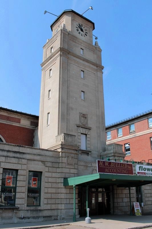
The marker is in front of the 1922 Canadian Pacific Railway station, which is on the Canadian Register of Historic Places.
Credits. This page was last revised on April 30, 2022. It was originally submitted on April 30, 2022, by Duane and Tracy Marsteller of Murfreesboro, Tennessee. This page has been viewed 68 times since then and 2 times this year. Photos: 1, 2. submitted on April 30, 2022, by Duane and Tracy Marsteller of Murfreesboro, Tennessee.
